Snow to sea level
2nd January 2025
Snow showers overnight and today have left the Torridon area looking nice and white. The snow was soft and knee deep in many places at higher altitudes today.
Winds are forecast to reach gale force at summit level this evening with further snow showers. This new snow along with the redistribution of the soft snow currently present will lead to the formation of areas of fresh windslab. Where this windslab overlies today’s softer snow the soft snow will be a weak layer and stability will be poor. These areas won’t be too extensive but are worth avoiding. See the avalanche forecast for more details.
It was a tricky day for photographs and I wasn’t in an ideal place when it cleared up a bit but what’s below should give a reasonable idea of the current conditions.
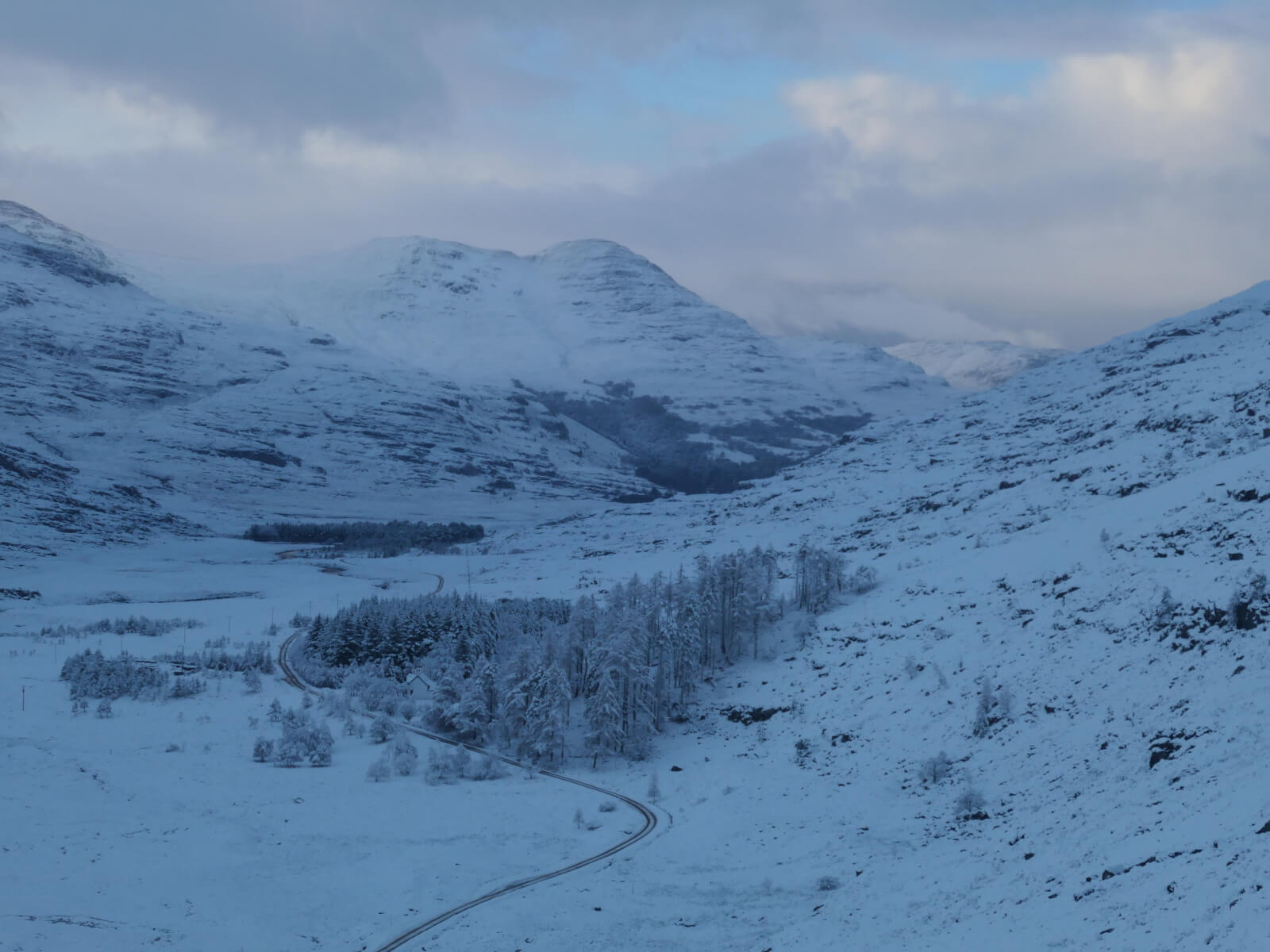
Looking down a snowy Glen Torridon.
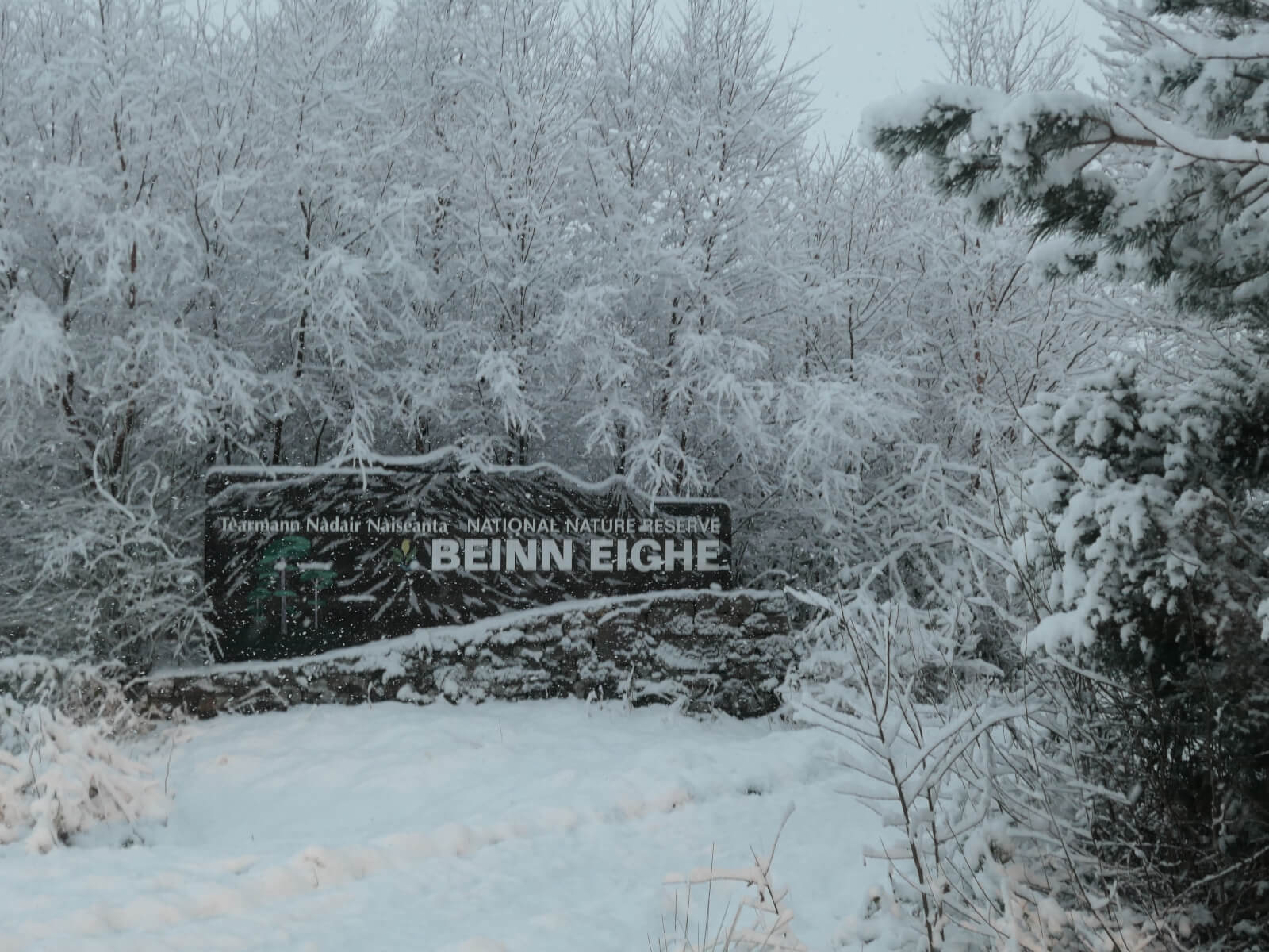
Snow to low levels, here in Kinlochewe at around 30 metres.
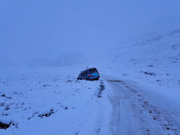
Tricky driving conditions in Glen Torridon this morning.
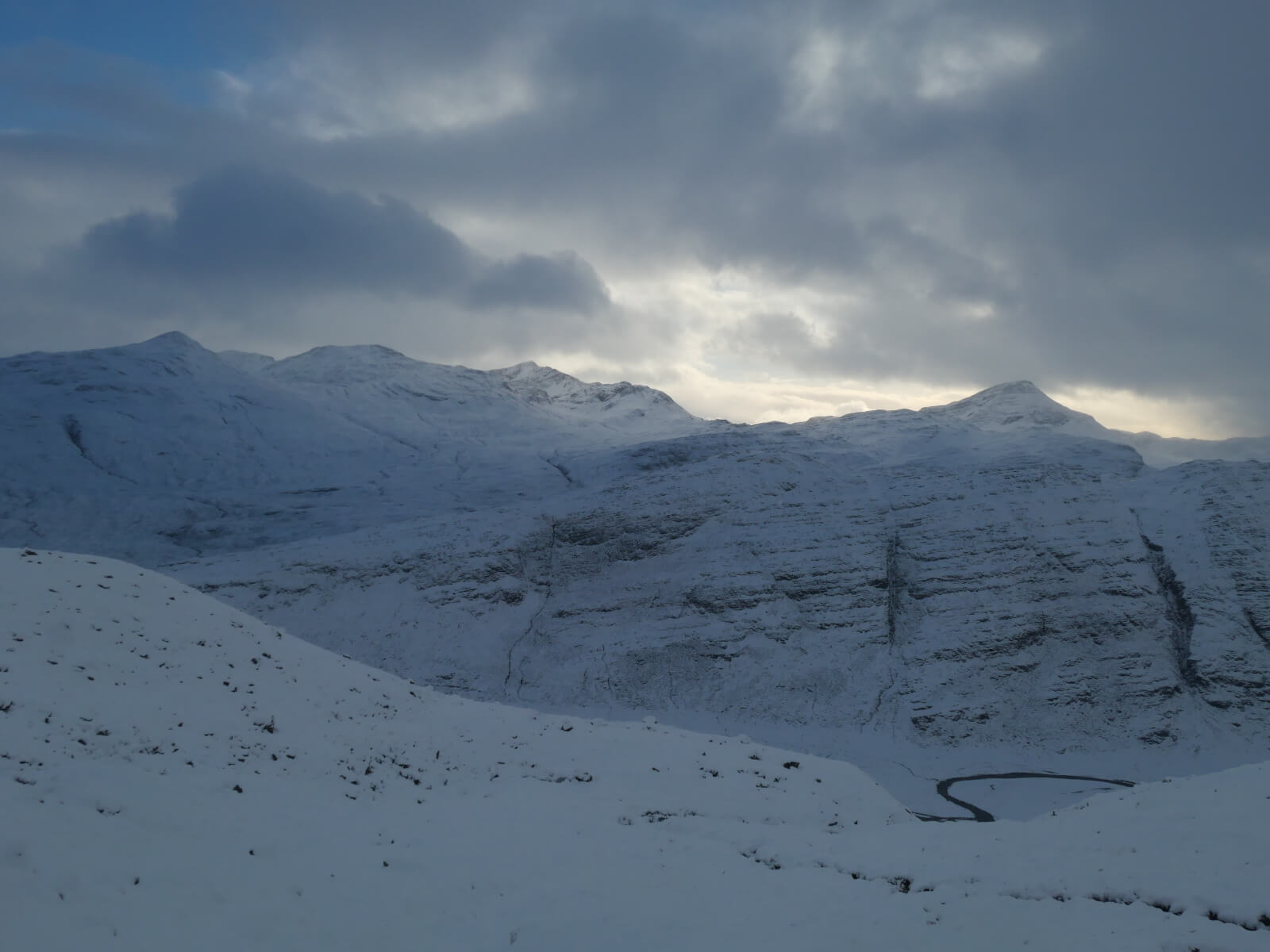
Looking South across Glen Torridon from Liathach. From left to right, Beinn Liath Beag, Beinn Liath Mor, Sgorr Ruadh and Maol Chean-dearg.

Liathach summit ridge looking East. Thanks to the 2 mountaineers in this photo for doing some great trail breaking today!
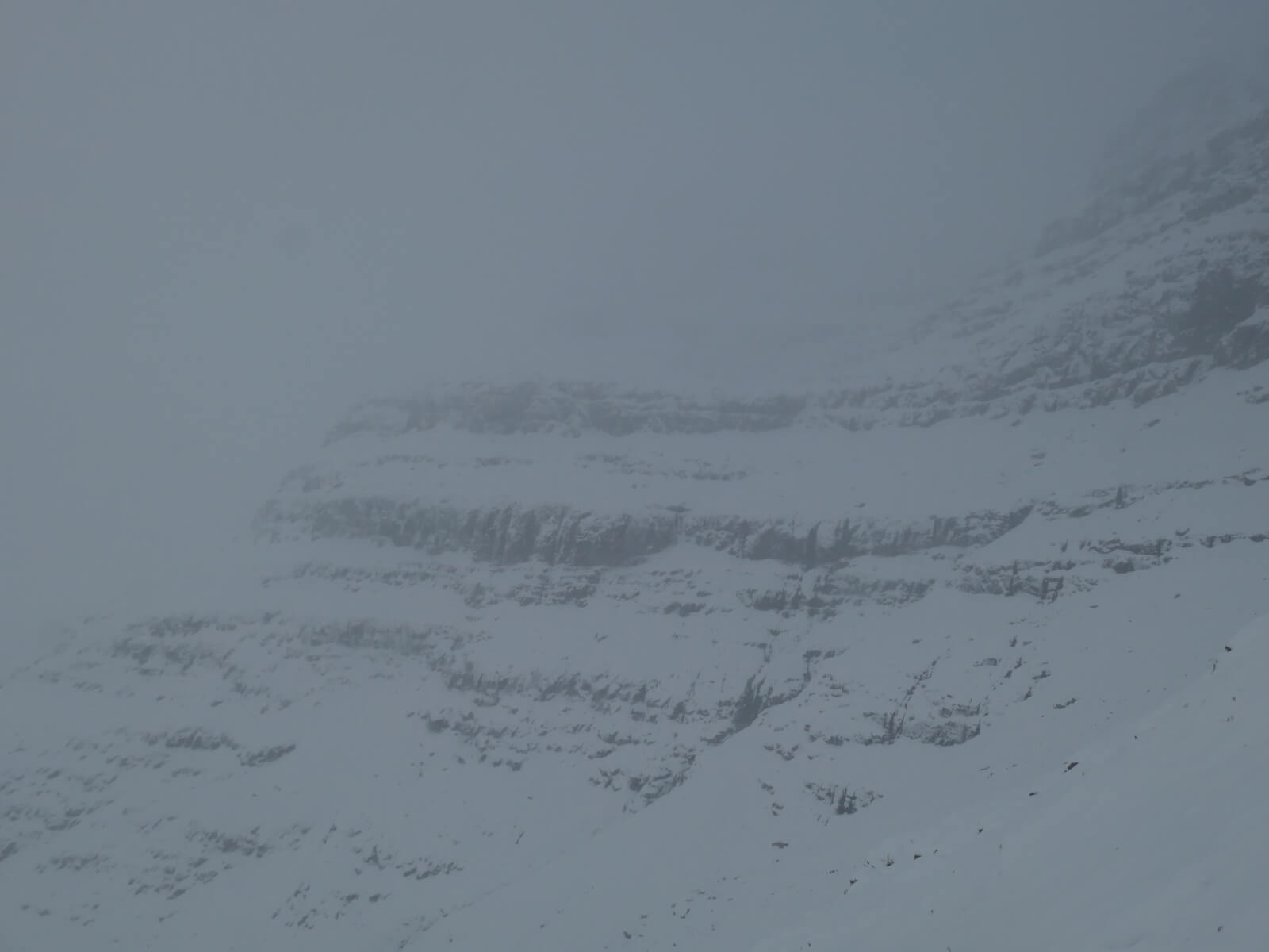
Coire Liath Mor, Liathach.
Comments on this post
Got something to say? Leave a comment


