A Dusting Above 750m.
10th March 2025
As forecast, the mountains are looking a bit more wintry following the introduction of a cold showery North-Easterly airflow. However, it’s only a dusting at higher elevations with a bit more snow lying on wind sheltered terrain, namely steep SE to SW aspects. There was a significant windchill in the strong Easterly wind today.
Similar conditions for tomorrow with further showers, wintry generally above 700m., lower at times in heavier showers. But we’re not expecting a significant covering of new snow.
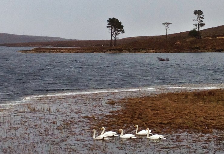
(Above) The highlight of my day! We have had Whooper swans overwintering locally, up to 15 individuals (likely a few families) feeding and sheltering on Loch Droma (in the picture) and Loch Glascarnoch.
I have had ‘first spring’ sightings over the last two days; Golden Plover, Skylark, Stonechat and Wheatear. They’ll be regretting returning so early!
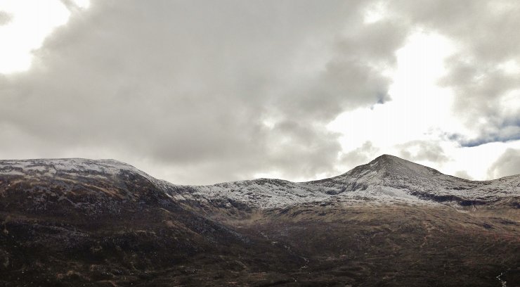
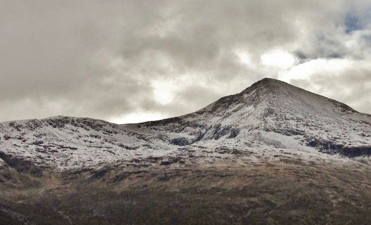
Above 2 photos) A dusting on Sgurr Mor (1110m.) and Beinn Liath Mhor Fannaich (954m.) The snowline in the photos is at around 750m. Due to the wind direction, there is less fresh snow on the mountains in the south of our area and on those closer to the sea.

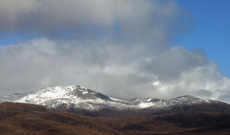
(Above) Carn na Criche (961m.) and Meall a’ Chrasgaidh (934m.).
Looking to the north, a tad more snow on the wind sheltered southerly aspects on Beinn Dearg (outside our forecast area), although it is highlighted in the sun making it look more wintry than it actually is!
Comments on this post
Got something to say? Leave a comment


