A stormy, changeable day.
24th January 2025
Storm Eowyn started fairly meekly in the far North West this morning, but eventually got into her stride by around Lunchtime. Precipitation amounts increased during the afternoon with snow falling above around 600-700 metres.
Tonight there is a fair amount of snow accumulation forecast, mainly over inland mountains such as the Fannichs. There will also be snow showers throughout Saturday. This snow will be moved around considerably tomorrow due to a couple of factors. One, the winds will be lighter, but still Very Strong to Gale Force, which is the optimum windspeed to cause drifting. Two, the temperatures will be colder, meaning the snow will be more mobile. So these factors could lead to significant drifting and the development of windslab. Please see the forecast for the details.
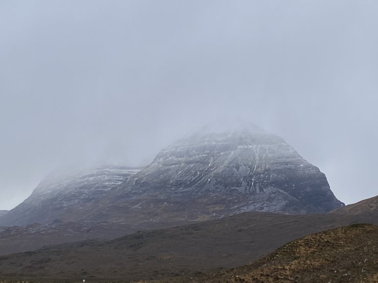
Liathach this morning. very little snow, but this will have developed somewhat during the day. In particular, with the winds today, the main deposition will have been round the back in the North facing coire’s.
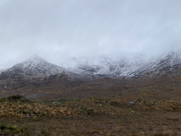
Looking up to Spidean Coire nan Clach, Beinn Eighe. Again, some snow but not much. Similar to Liathach, the greater deposition would be occurring around the back on the Northern aspects.
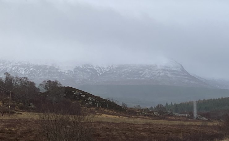
An Cabar, the South end of Ben Wyvis around lunchtime today. Snow starting to gain some coverage above around 700 metres.
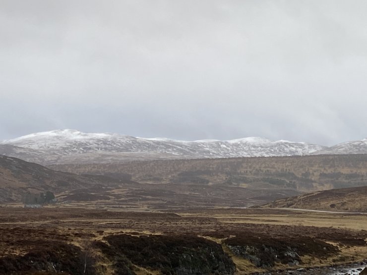
Some 650m hills to the NW of Ben Wyvis today. Some snow just beginning to build on ridge edges.
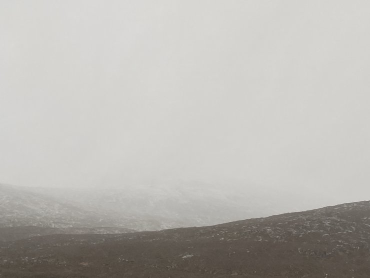
No view!! I was hoping to get a view towards Sgurr Mor in the Fannichs, but it wasn’t to be.
Comments on this post
Got something to say? Leave a comment


