Wet now – Colder and Snowier later!
31st December 2024
Overnight snow turned to rain before dawn. There was evidence of the snow line reaching around 200 metres before being washed away by the rain.
Rivers and burns were in spate and the wee stepping stone at the start of the Coire an Laoigh path was not even visible. The remaining snow patches were very soft and wet. The heavy rain persisted at all levels.
An occluded front is expected to extend South towards the Torridon area, bring colder conditions with further snowfall. The surviving snow patches will also become firmer and possible icy as the freezing level lowers steadily through the daytime, reaching glen levels by the end of the day. A return to winter for the New Year!
Happy Hogmanay!
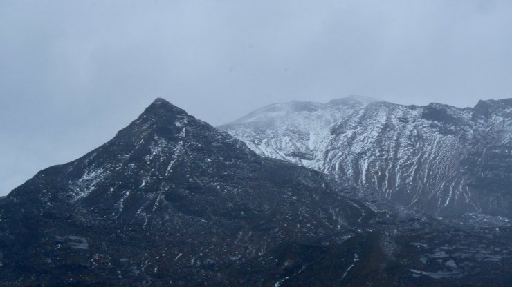
Stuc Coire an Laoigh and Spidean Coire nan Clach 993 metres.
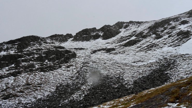
Coire an Laoigh
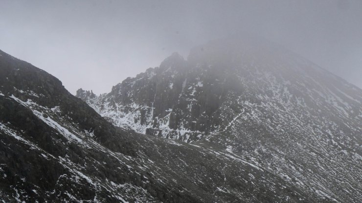
View across to Black Carls on Sugar nan Fair Duibhe 963 metres
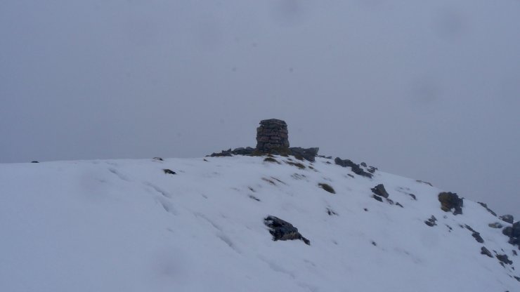
Triangulation point at 972 metres
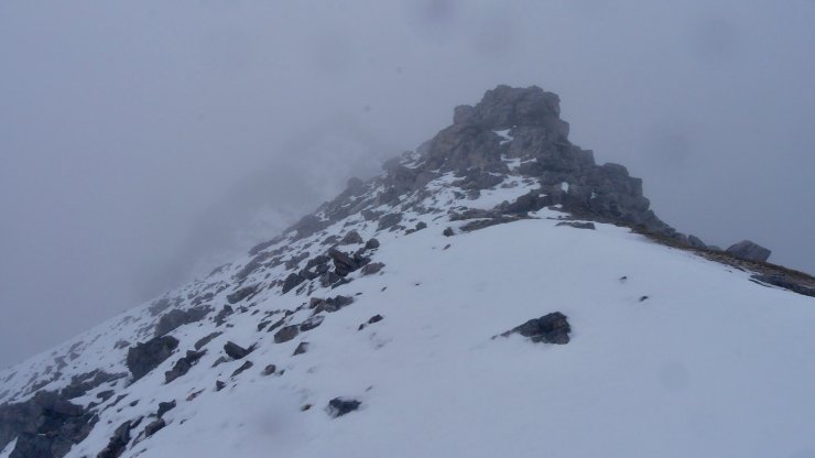
Looking towards the summit of Spider Coire nan Clach 993 metres. Yesterday the rocks where rimed and verglassed.
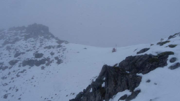
North-West aspects above 900 metres on Spidean Coire nan Clach
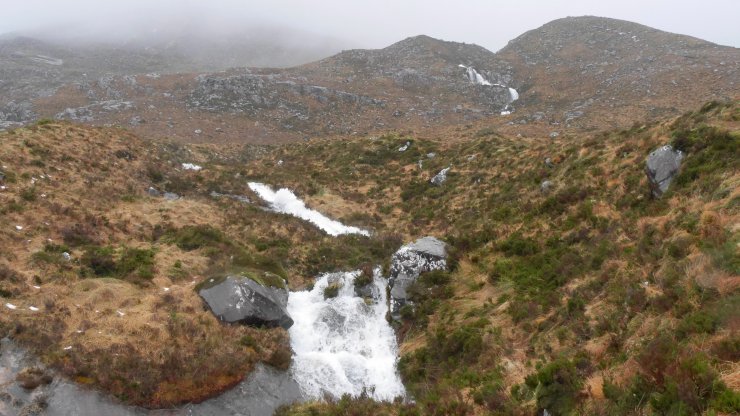
Snowmelt?
Comments on this post
Got something to say? Leave a comment


