Storm Bert
22nd November 2024
Snow showers continued to cross our forecast area throughout the day adding to the snow accumulation totals. The areas of unstable windslab that there are currently, are a bit more widespread than yesterday.
Storm Bert will arrive in the early morning, bringing further snow accumulations and windslab affecting other aspects. Very strong winds, fresh snowfall and rising temperatures will induce a period of high snowpack instability for a time during the day. The deep snow at lower elevations will start to thaw and consolidate.
looks like a day for the cafe or that DIY job you’ve been putting off…!

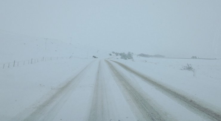
On the Dirrie Mor. The A835, Ullapool to Inverness road this morning, through the Fannaichs.

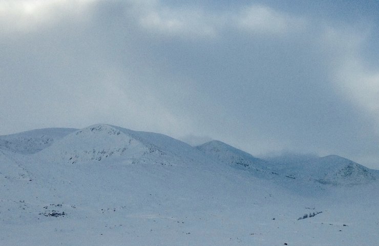
The North and East aspects of Beinn Liath Mhor Fannaich, Sgurr Mor and Carn na Criche. Significant snow cover on most aspects. Snow showers over night and throughout today have added to the overall accumulations.

Beinn Dearg from Ullapool.

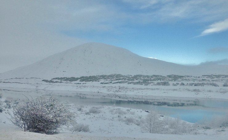
Loch Glascarnoch is freezing over. -3C here early afternoon when this photo was taken.
Comments on this post
Got something to say? Leave a comment


