Fresh snow in the North-West
20th November 2024
There was a more significant snowfall last night and during today in the North West.
Due to the snow amounts, we will be issuing a formal Avalanche Report for Torridon for tomorrow through to the weekend (when it’s likely to thaw). These will be available on the main website, also copied below:
Torridon Avalanche Hazard Report for Tuesday 21st November. Issued 1700hrs 20/11/24
Forecast Weather Influences
Snow showers will persist overnight and throughout the day, some heavy and squally. The wind will remain North-Westerly throughout, fresh to strong at higher elevations. Freezing at all elevations at first, rising to around 200 metres later.
Forecast Snow Stability
Areas of unstable windslab will continue to develop in wind sheltered locations, becoming more widespread throughout the forecast period. Most affected will be steep slopes, East to South aspects, above 600 metres. Windward aspects will have less snow cover. The Avalanche Hazard will be Moderate.
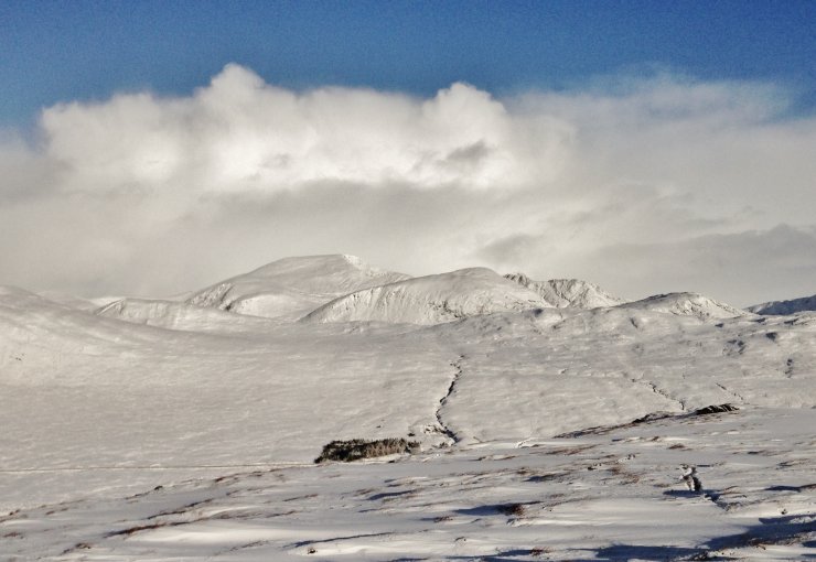
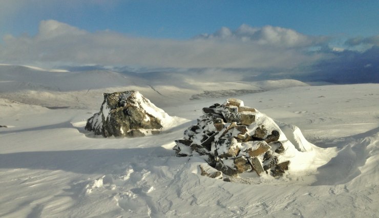
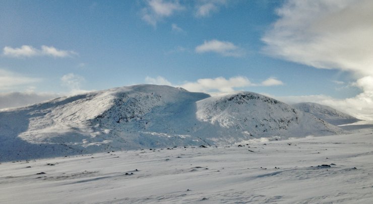
Some images of the Torridon area today including the Fannichs

An Teallach about to be consumed by the next snow shower!

The southerly aspects of Beinn Dearg.

The summit of Beinn Liath Beag (665m.) looking east to Ben Wyvis

Beinn Liath Mhor Fannaich showing snow accumulating on lee aspects as windslab at higher elevations..

Liathach

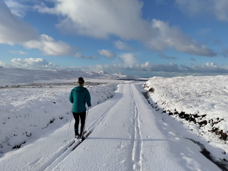
The ski season has begun, even at sea level!
Comments on this post
Got something to say? Leave a comment


