The Fannaichs
15th December 2019
There were significant areas of fresh snow observed today, mainly due to heavier and more prolonged wintry showers across the Torridon area than was expected accompanied by a strong SW airflow. Accumulations of fresh moderately well bonded windslab are building in steep sheltered locations, particularly at higher elevations. Check out the avalanche forecast pages. However, another good day out was had – fully wintry.
Although the mountains around Glen Torridon are our core area for avalanche forecasting, peripheral areas include the Fannaich and the Applecross mountains. Around two thirds to three quarters of our observations are made in the core area, the rest in the Fannaichs and Applecross.
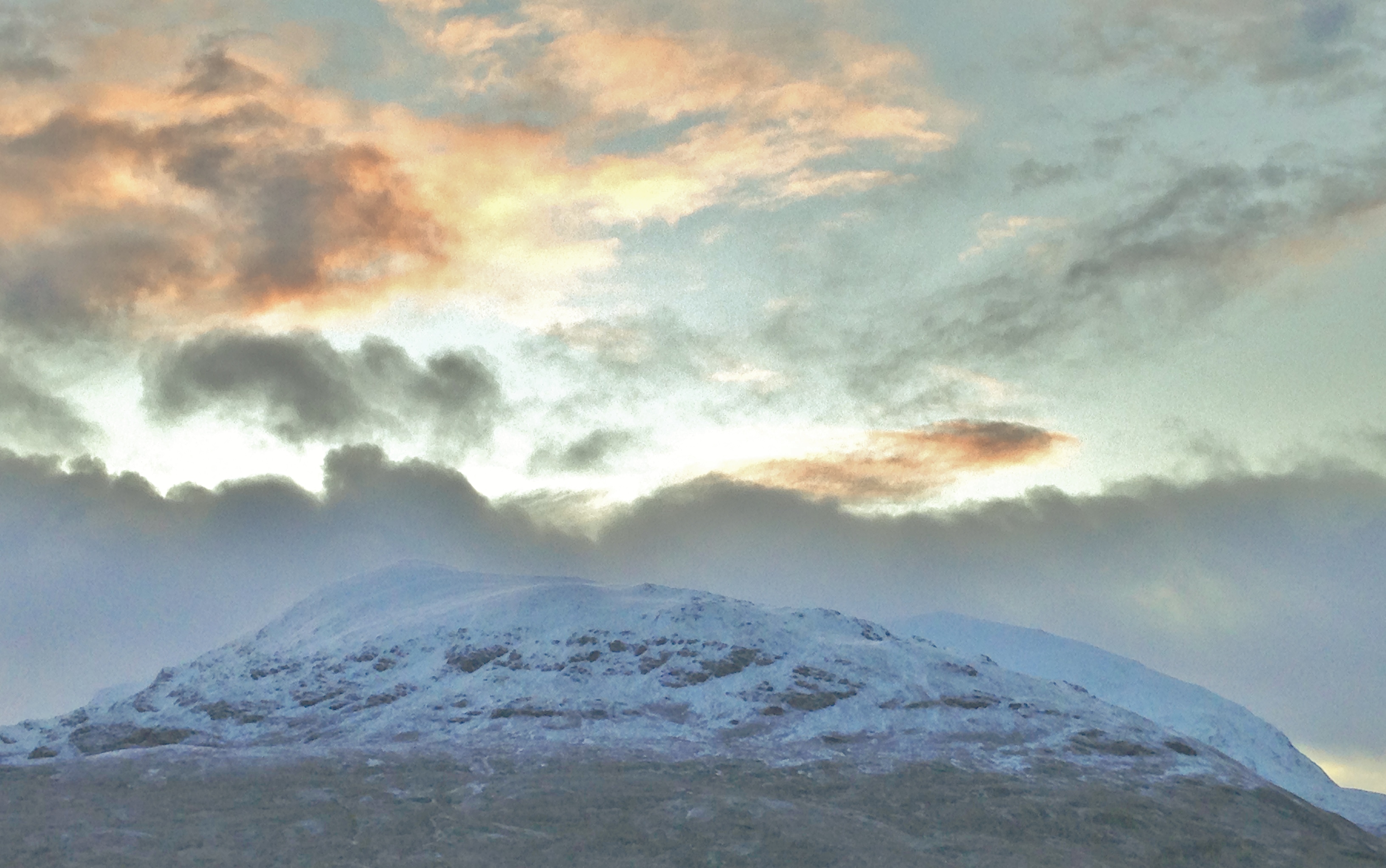
Meall a’ Chrasgaidh and Sgurr nan Clach Geala in the Fannaichs early morning, between wintry showers!
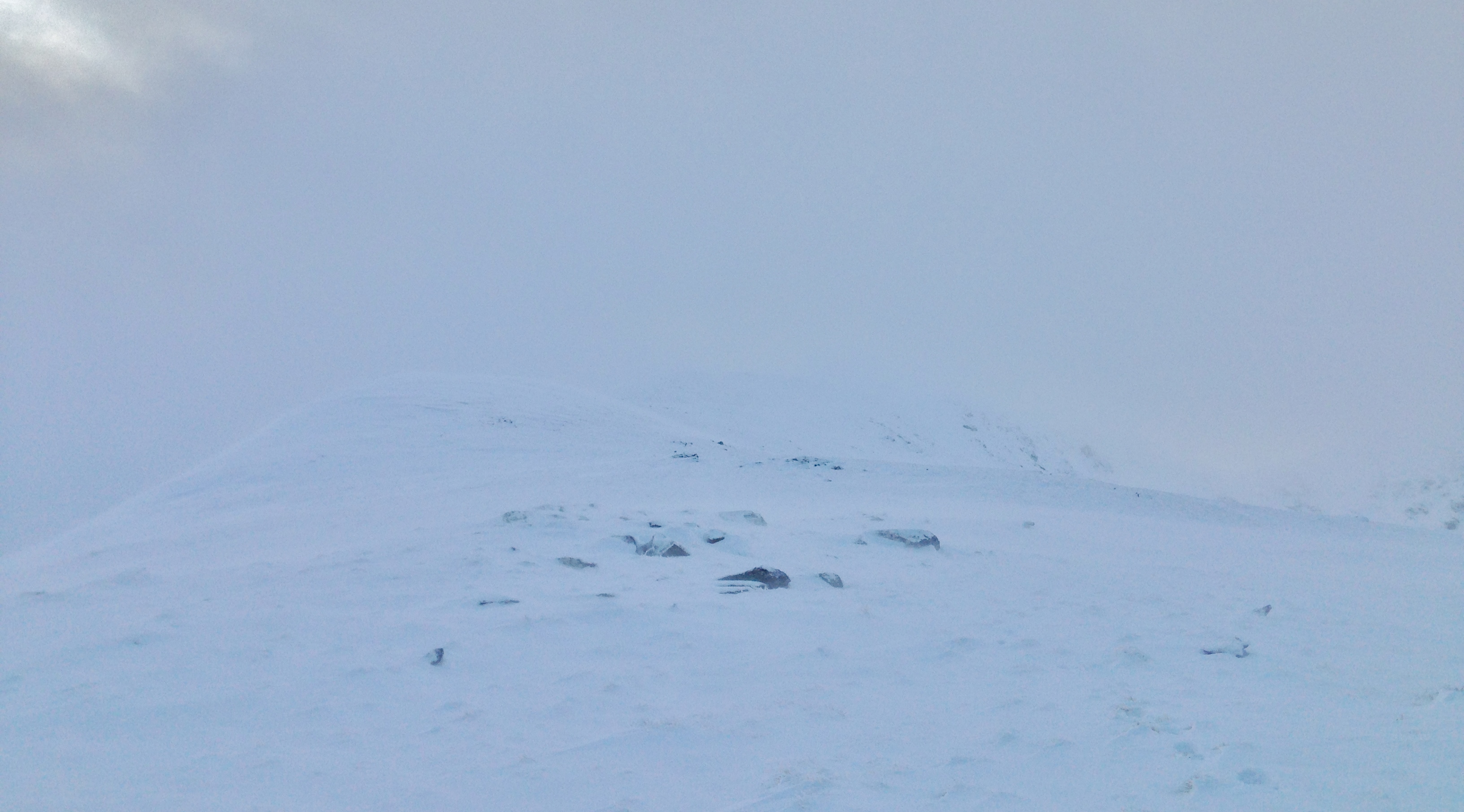
The shoulder that is Druim Reidh of Toman Coinnich in more typical weather for today and the site of today’s snowpack obs.
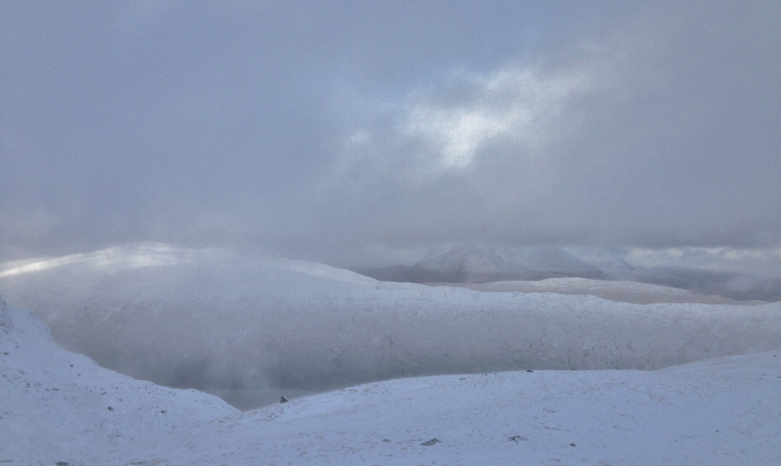
A glimpse of An Teallach somewhere over there before the next shower.
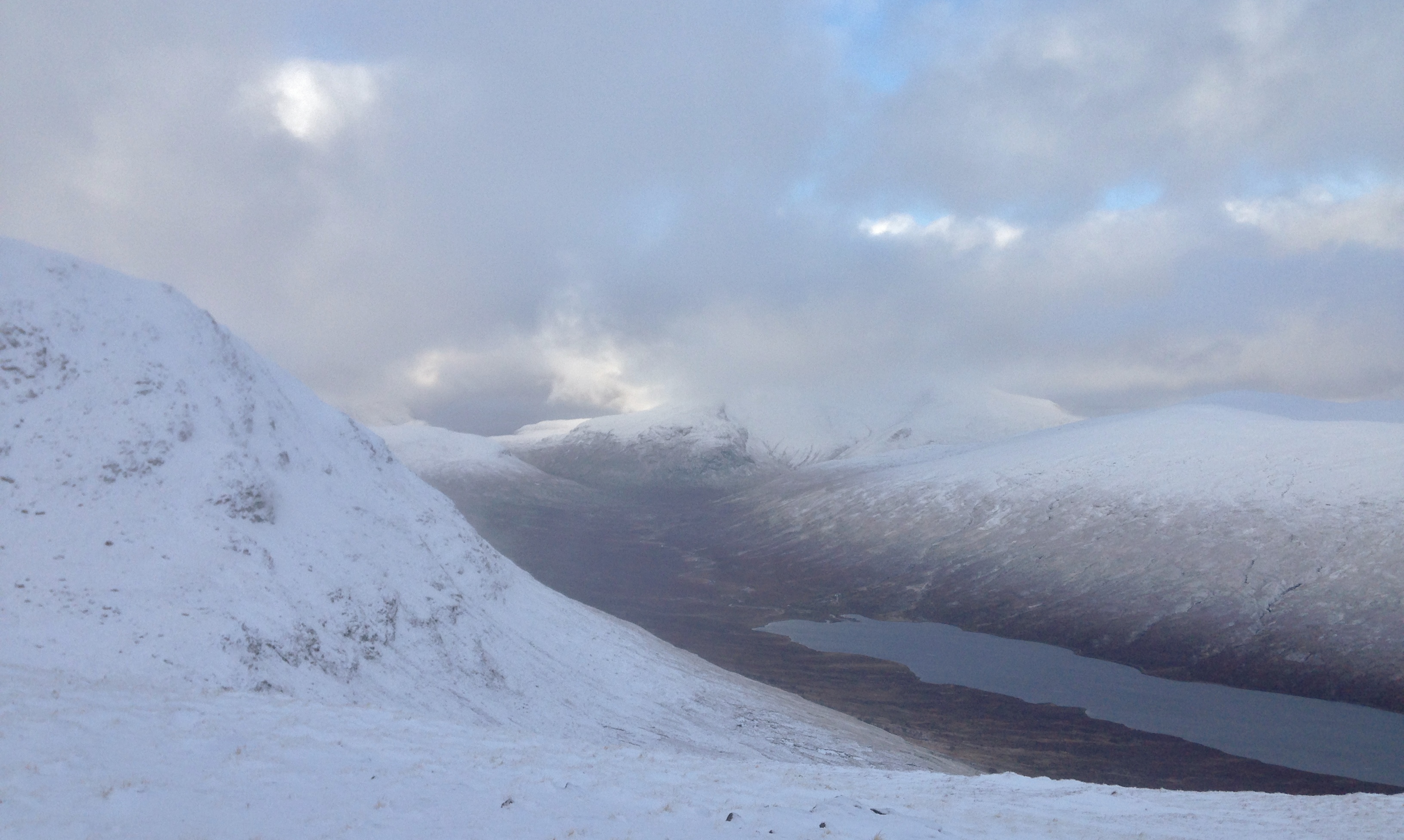
Looking to the head of Loch a’ Bhraoin and into the Great Wilderness mountains of Sgurr Ban and Mullach Coire Mhic Fhearchair – between showers…!
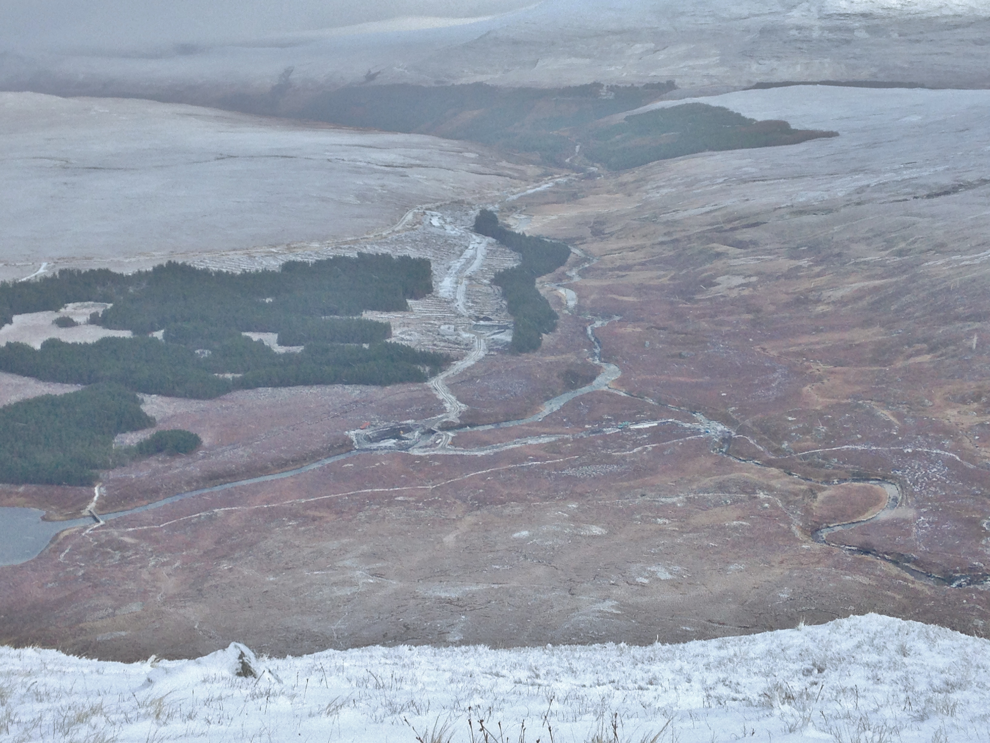
The Fannaich construction site….! Another hydro scheme is being built.
Comments on this post
Got something to say? Leave a comment


