Before Storm Dudley
16th February 2022
It was dry and bright early in the morning allowing a few photo opportunities before the weather deteriorated as Storm Dudley approached. Overnight Easterly winds had deposited snow on West aspects, making the landscape look a little whiter and less wind scoured than of late (compare Creag Dhubh photo below with yesterdays photo of the same location). Any new snow at lower altitudes quickly disappeared at the temperature rose to around 800 metres.
Tomorrow will see the return of colder temperatures, snow fall and Westerly gale force winds. Areas of fresh unstable windslab will build on North-East to South-East aspects above 650 metres. Â Expect significant drifting and blizzards conditions at times.
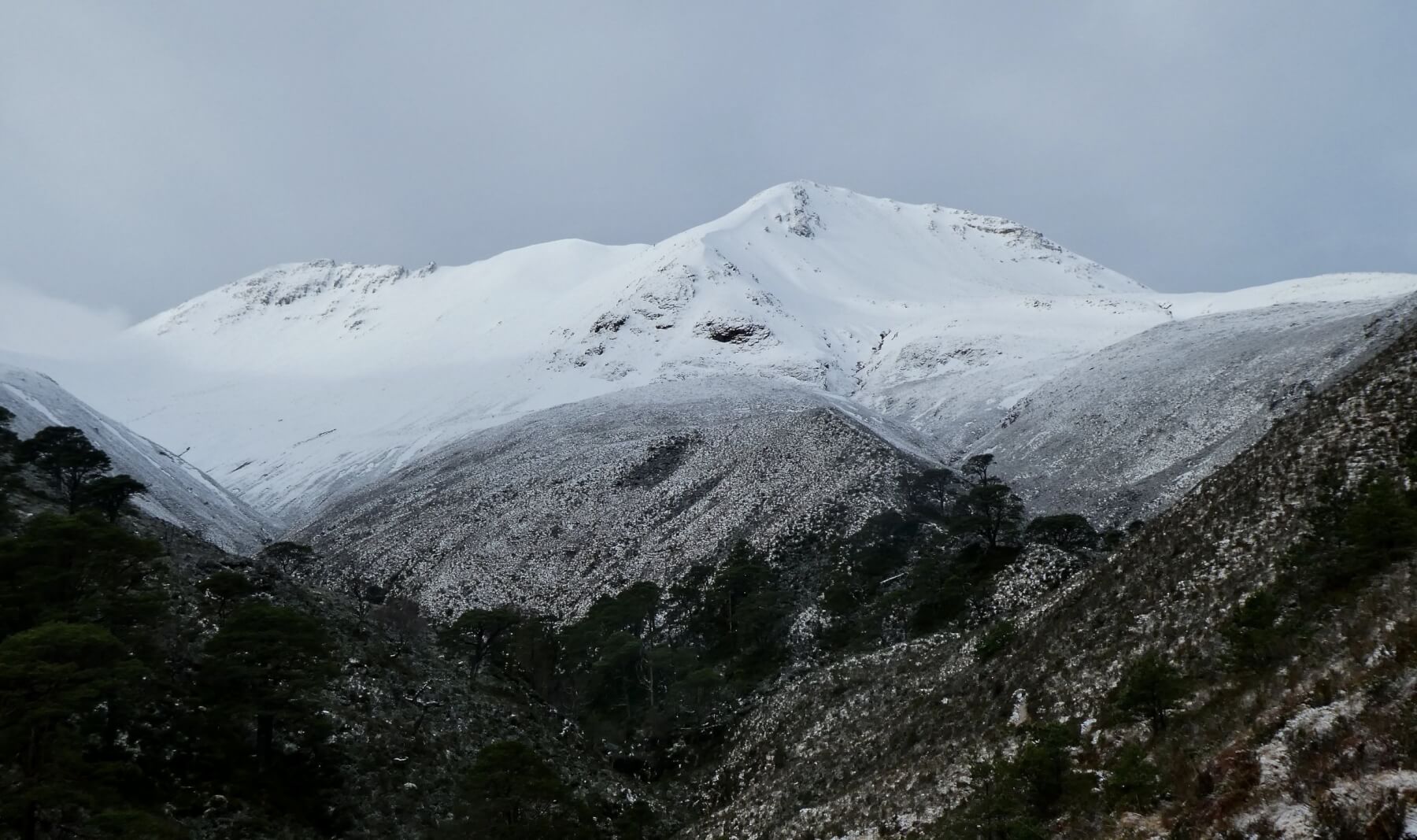
(Above) Creag Dhubh, on the Eastern end of Beinn Eighe. The low lying snow had disappeared by the afternoon.
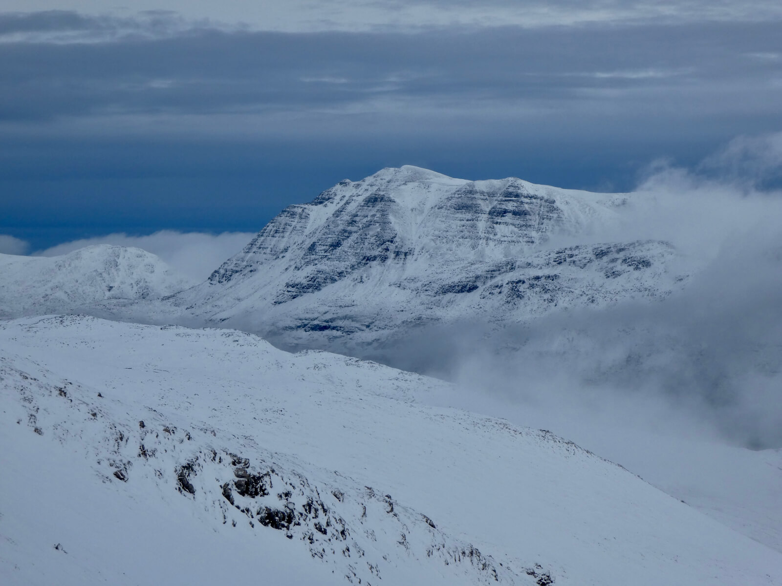
(Above) Slioch 980 metres, shortly before disappearing from view as Storm Dudley approached.
(Above) The Eastern coires of An Teallach, Dark clouds behind of storm Dudley approaching.
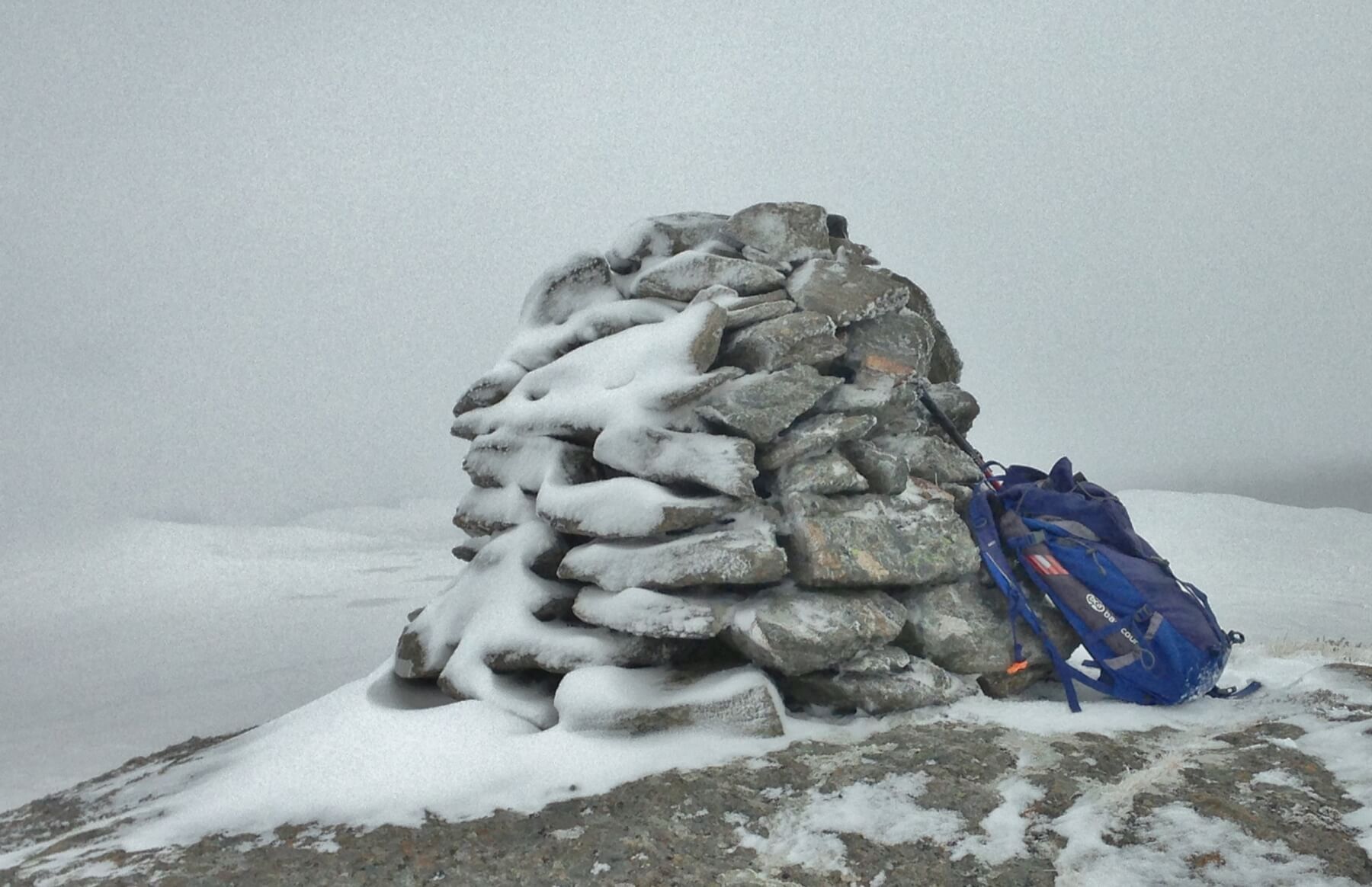
(Above) Summit cairn at 600m. The snow on the left of the cairn, West aspect, has been deposited during snow fall with Easterly winds overnight. The windward right side of the cairn has the beginnings of riming.
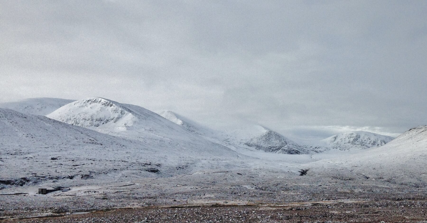
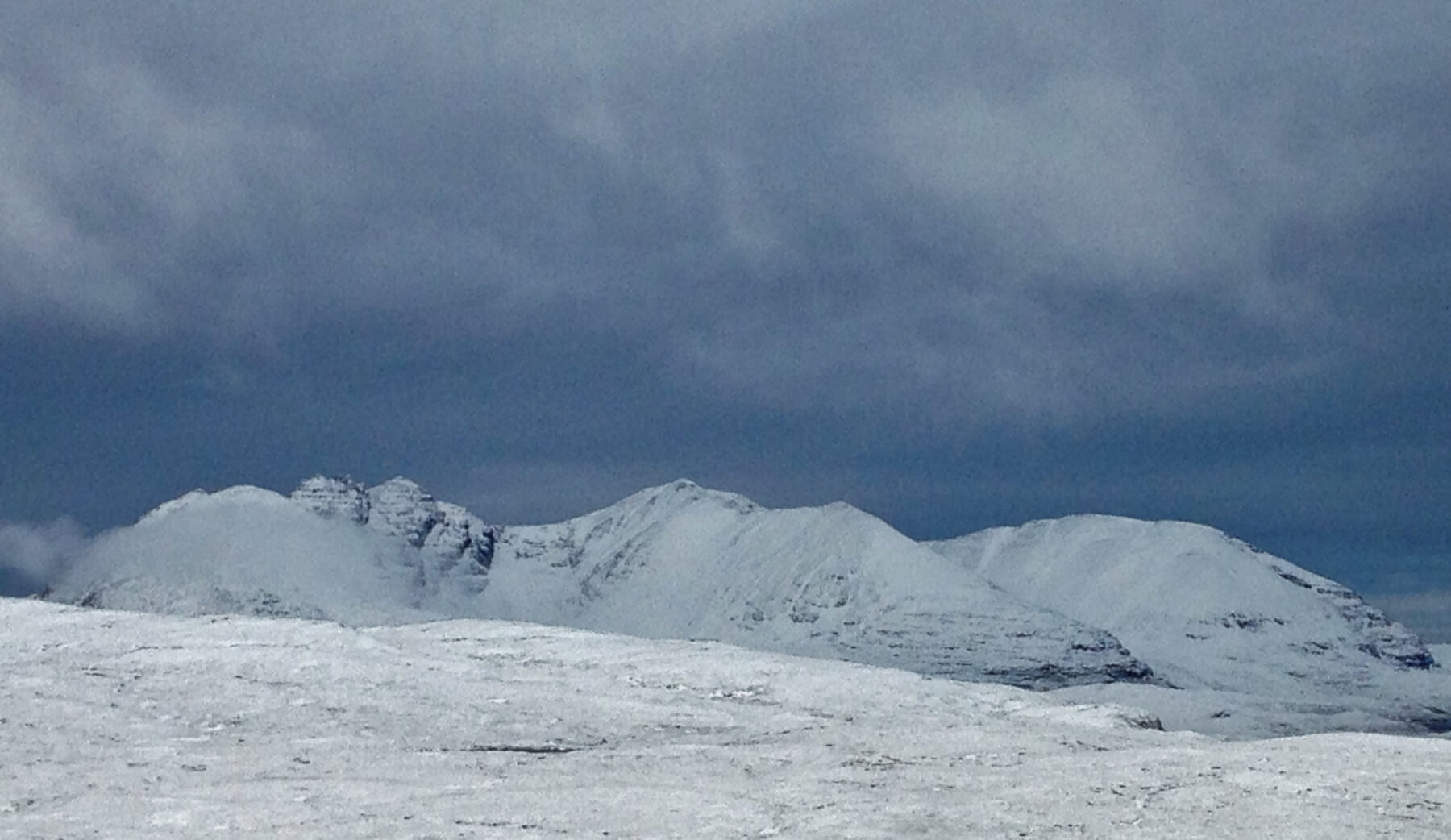
(Above) The Fannaich mountains of Beinn Lith Mhor Fannaich on the left, Sgurr Mor behind, Carn na Criche and Meall a’ Chrasgaidh on the right. There has been a dusting of new snow overnight. Most snow in photo is of the older snowpack.
Comments on this post
Got something to say? Leave a comment


