Snorkel on standby
5th April 2024
Any low lying snow was short lived today as the snow line made a hasty retreat up the hill as the day progressed and the mild airstream become established. Tomorrow is looking warm, wet and windy so expect any cosmetic snow to rapidly disappear. Where any fresh windslab has developed and gained depth, there will be some minor surface instabilities for a short time. These will be confined to the steepest of wind sheltered locations above 800m on South-West to North-West aspects and should be easily avoidable.
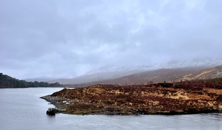
Above: snow lying down to 400 metres first thing in the Torridon glen. It didn’t last long.
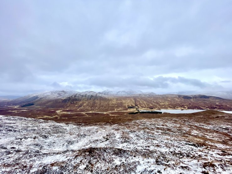
Above: the best view of the day but sadly looking out of the SAIS TO area and towards Beinn Dearg to the North.

Above: summit cairn of Beinn Liath Bheag (662m).
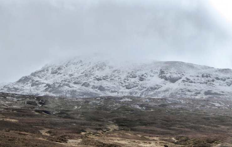
Above: Meall a’Chrasgaidh (934m)
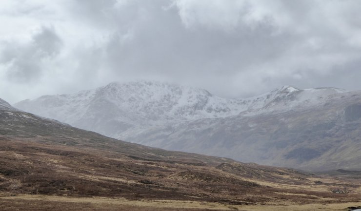
Above: Sugar Bread (999m) – should actually read Sgurr Breac but the spelling auto correct made me smile.
Comments on this post
Got something to say? Leave a comment