Thaw conditions
6th April 2024
Rain at all levels early this morning cleared to give a mainly dry but very windy day. There has been a significant thaw since yesterday. On the more coastal hills only a few patches remain with most slopes bare of snow. Further inland some more snow remains mainly around coire rims, in gullies and on a few summit slopes.
Storm force winds are forecast for the area tomorrow. Precipitation will be rain at most levels with some summit snow. On the highest summits remaining snow will begin to refreeze, at most elevations the thaw will continue.
Photos show what snow remains, starting from the least snowy coastal hills, the most snowy photos saved for the end.
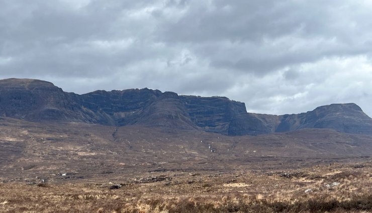
East facing corries of Beinn Bhan with only a small amount of snow around the corrie rim
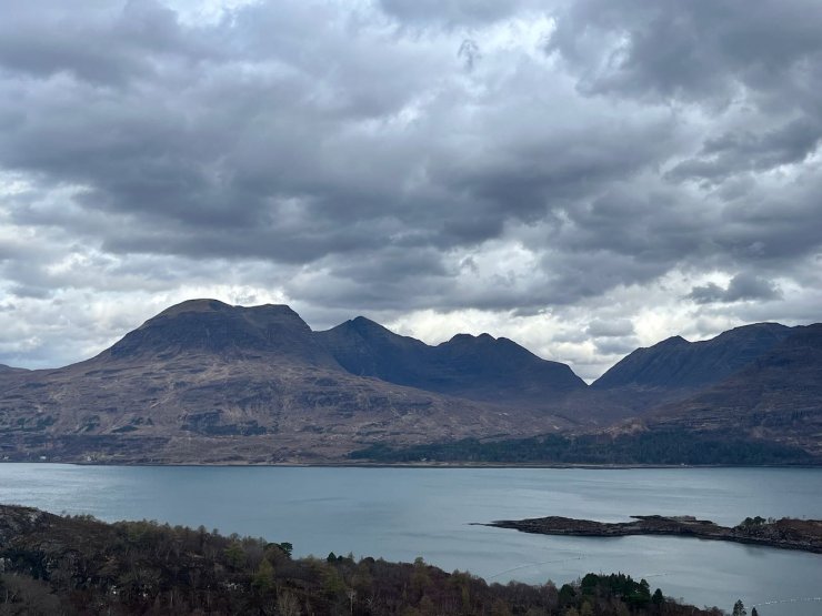
Beinn Alligin, the most coastal hills in the Torridon area are nearly bare of snow.
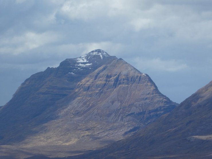
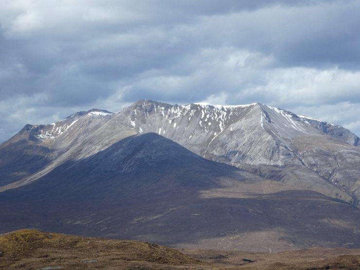
Liathach. Stuc a Choire Dhuibh Bhig in the foreground, the main peak of Spidean Choire Leith behind with some snow remaining on its East facing summit slopes.
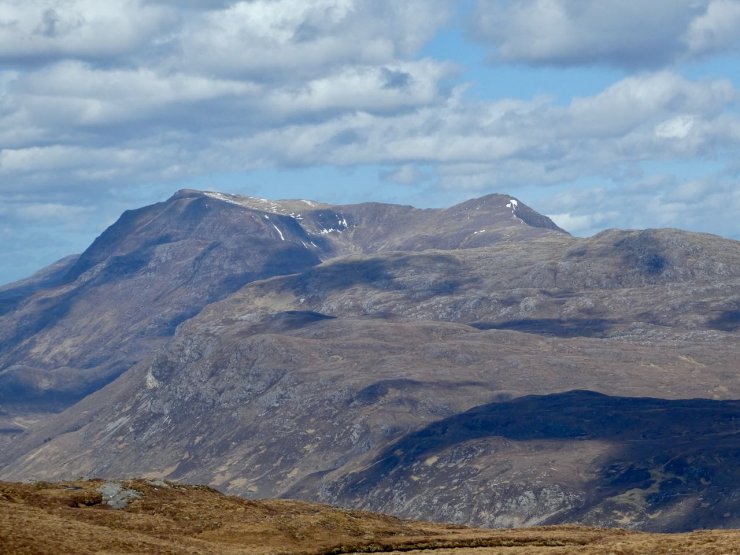
Slioch
Beinn Eighe, Spidean Coire nan Clach on the left, Sgurr nan Fhir Duibhe centre and Creag Dhubh on the right.

Beinn Liath Mhor on the South side of Glen Torridon
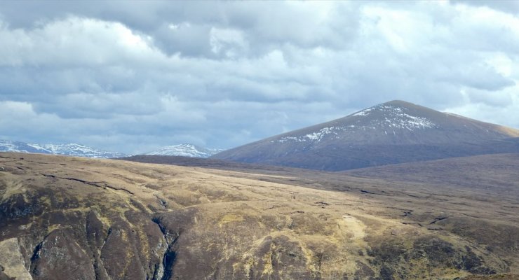
Fionn Bheinn with limited snow in the foreground but more snow visible on West facing summit slopes on the Fannichs behind.
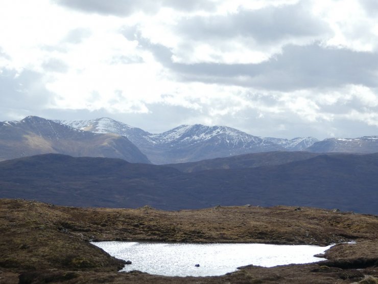
The Morusig hills just to the South our Forecast area.
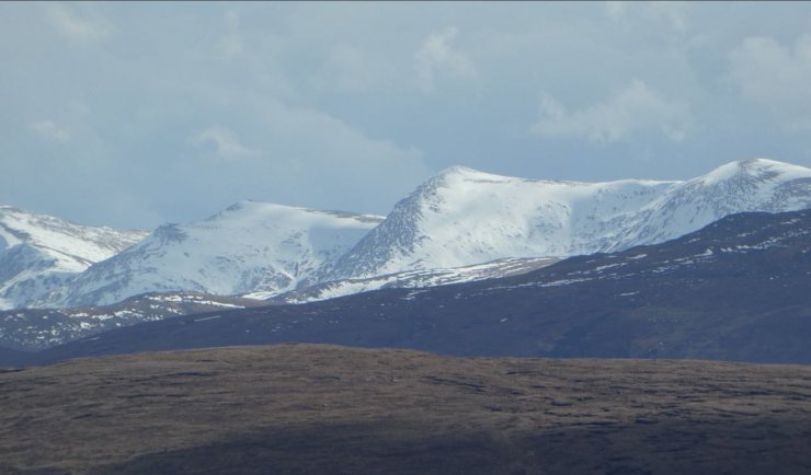
The North side of the Glen Strathfarrar Munros, also outside our forecast area but the snowiest hills I saw today.
Comments on this post
Got something to say? Leave a comment


Rich
6th April 2024 7:20 pm
Great photos!