A Bright (er) Wintery Day
15th February 2022
This was the relatively “calm” day before Storm Dudley and Storm Eunice. However, it is expected that the storms will track to the South of the Torridon area, hence lighter winds and less precipitation are forecast for the North-West Highlands, than in Central Scotland.
With views to the summits and across the surrounding hills, it was possible to see the extent and distribution of the overnight snow. Localised unstable wind slab was developing on North through East to South-East aspects above 700 metres, in strong Westerly winds. Wind exposed areas were scoured and the older snowpack is stable throughout. The views quickly disappeared with the onset of some intense snow showers.
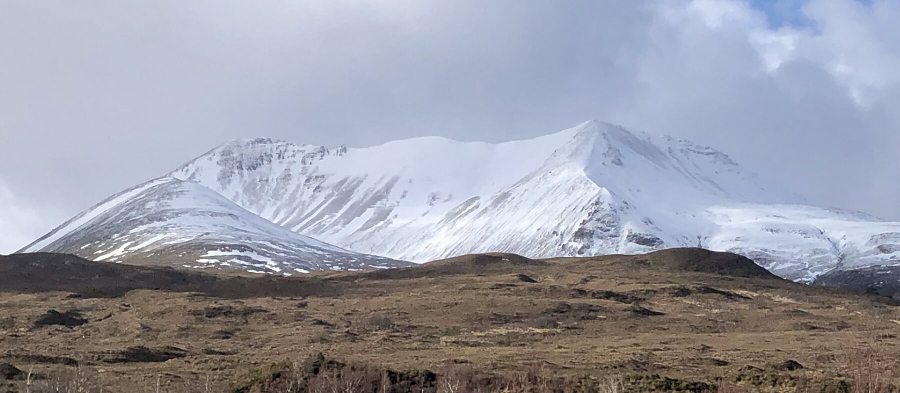
(Above) Creag Dhubh and Coire Domhain
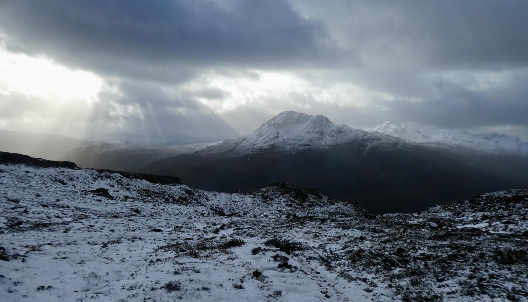
(Above) Looking across to Sgurr Dubh 782 metres
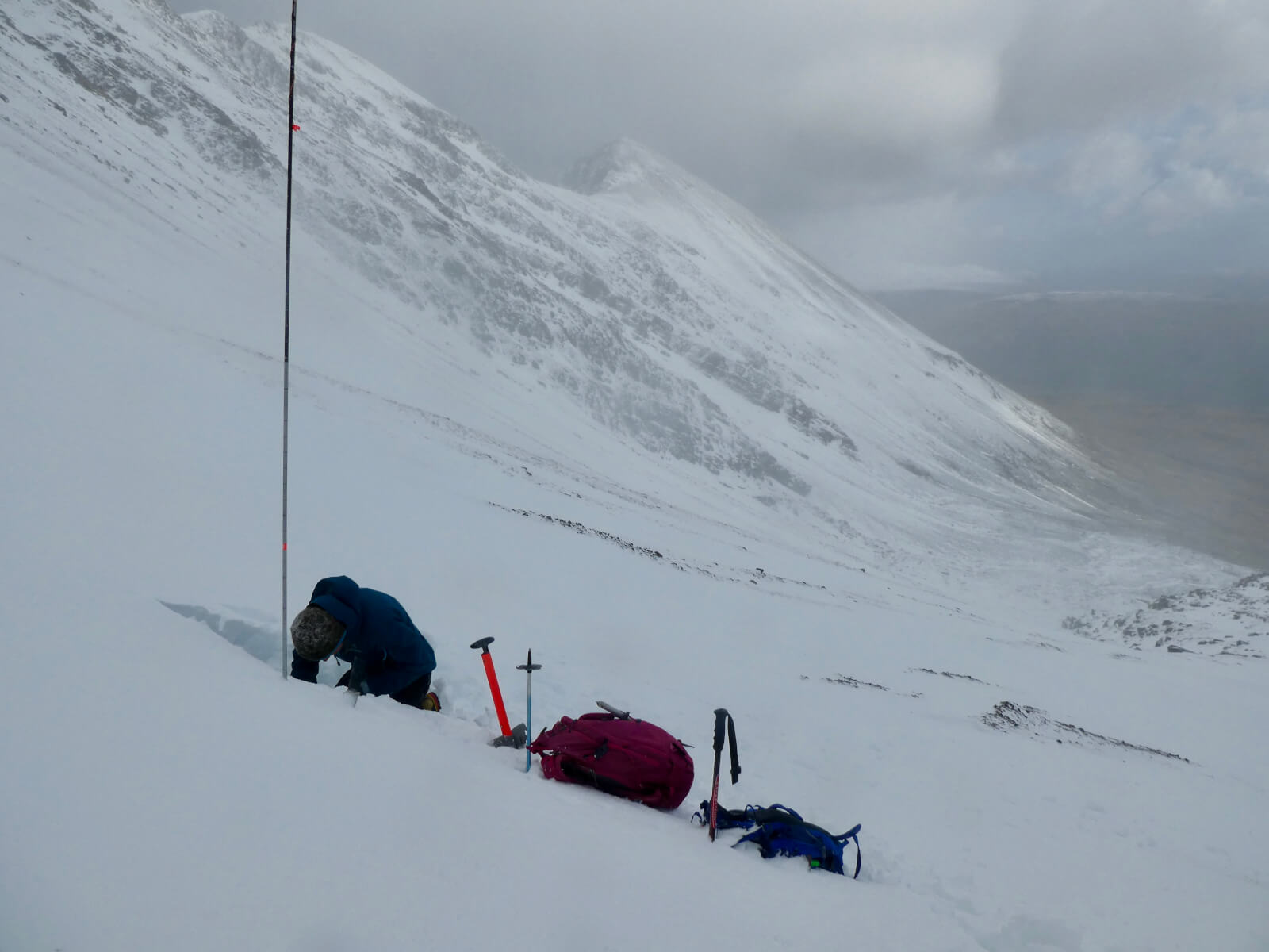
(Above) Snow profile site in Coire an Laoigh, Beinn Eighe, with wind scoured slopes behind.
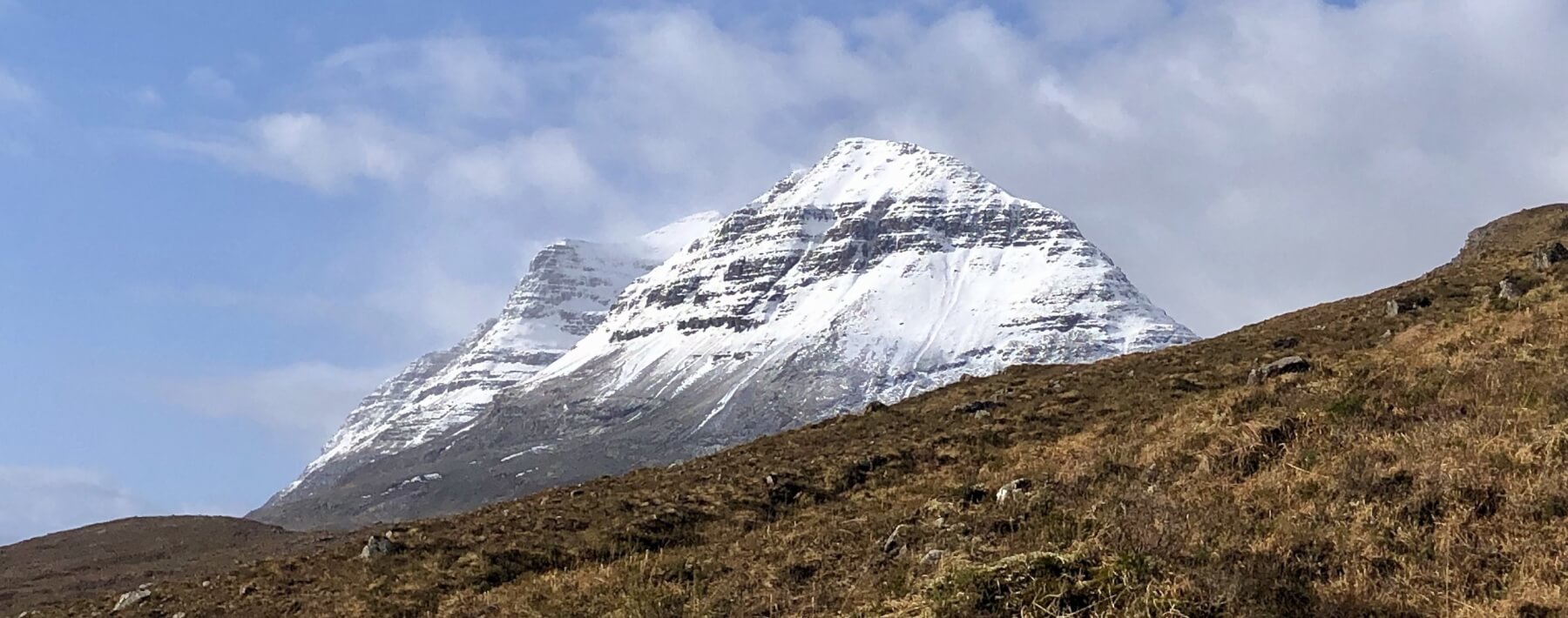
(Above) Liathach
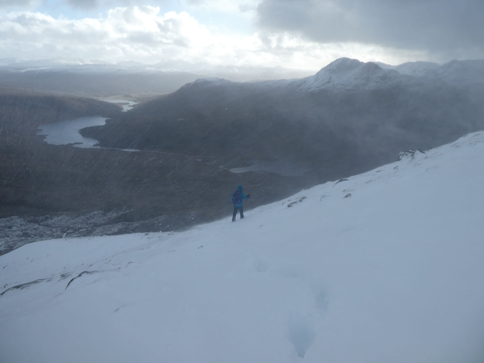
(Above) The onset of an intense squally shower
Comments on this post
Got something to say? Leave a comment


