Temperature Inversion Cloud
1st April 2024
I had to stay positive today and continue through the mizzle (mist and drizzle) to get the views. A cold moist layer of air this morning between 700m and 1,000m, with less cool air above, encouraged inversion cloud to develop. As the general air temperature warmed due to the affect of the sun, the cloud layer broke and dissipated at times around the summits.
The generally soft snowpack is limited in cover, continues to slowly diminish and is stable in all locations. Most snow remains on high N to SE aspects, along coire rims, on ridge flanks and tops of gullies and is firmer on shady Northern aspects.
Highlights of the day – Golden Eagle (at a distance this time), Ptarmigan (closer) and a flock of Snow Buntings. And of course the views!
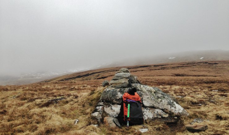 (Above) Disheartening mizzle at 600m on Leitir Fhearna at the end of Druim Reidh ridge which leads to the summit of Toman Coinnich (935m) in the Fannaich mountains.
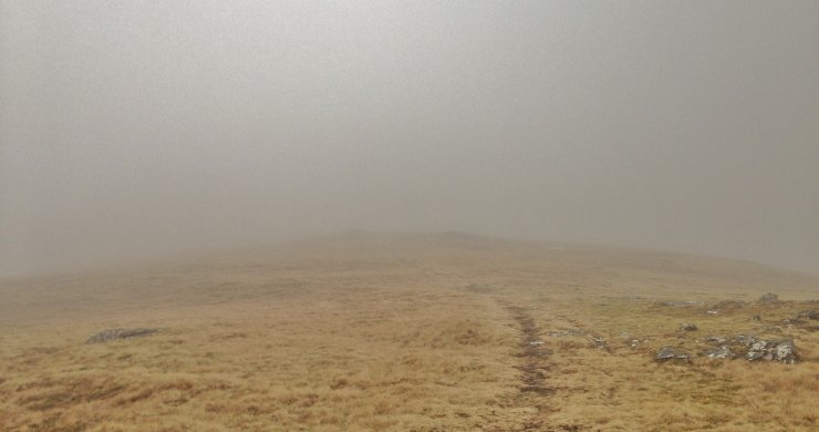 (Above) Disheartening mizzle at 750m. on Druim Reidh.
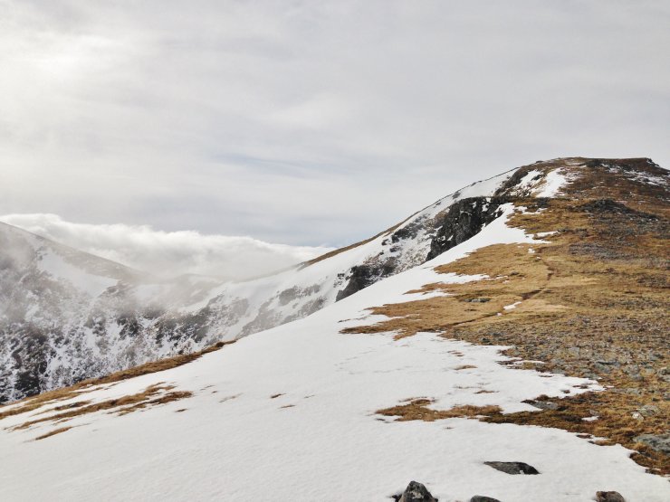 (Above) At 900m. Cloud breaking and spirits rising! Inversion cloud layer in the background behind the bealach between Sgurr Breac on the left and Toman Coinnich.
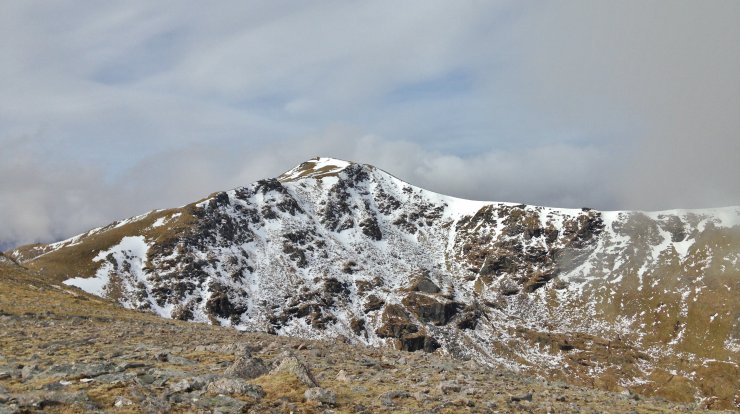
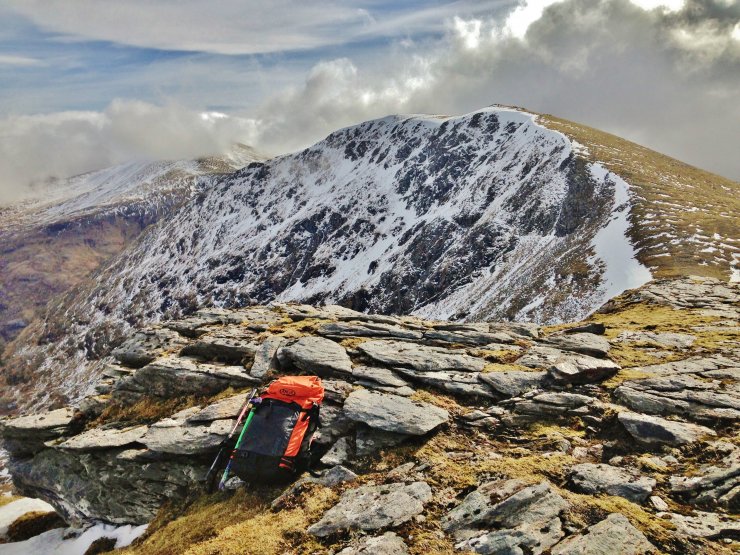 (Above) Looking from the summit of Toman Coinnich to Sgurr Breac and in the background, Sgurr nan Clach Geala (1093m.). Most snow is obvious on the Northerly aspects in Coire Breac and the summit slopes of Sgurr nan Clach Geala.
 (Above) The North to East aspects of Toll an Lochain coire below the summit of A’ Chailleach (997m.).
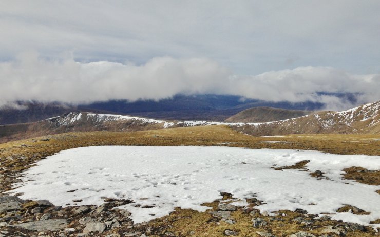 (Above) Looking from Toman Coinnich, SW towards the Torridon mountains still covered by an inversion cloud layer.
Comments on this post
Got something to say? Leave a comment


