Winter returns
22nd March 2024
Today was significantly different to the recent spring like conditions. While the snow cover was largely superficial it looked and felt like winter on the hill today. Showers were snow above around 500 metres and winds were gale force West-South-Westerly across the summits. With gusts of winds even stronger in the squally showers, goggles were very useful today.
A more significant snow event overnight tonight and through the day tomorrow will mean new snow accumulations will begin to gain depth. Some of the recent snow has fallen on such strong winds is has ended up in hollows at lower altitudes. With the wind speeds dropping through the night tonight, greater accumulations are expected to develop. For more details read the avalanche hazard report.
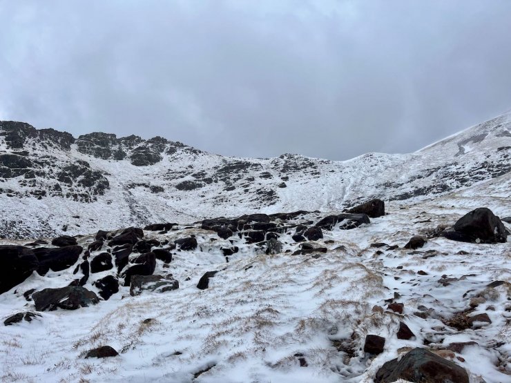
Coire an Laoigh, Spidean Coire nan Clach, Beinn Eighe.
A closer look at the snow at the top of Coire an Laoigh. The darker patches are the old snow, which is hard and icy, the lighter patches the very limited new snow accumulations. Significantly greater accumulations expected by tomorrow.

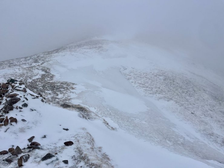
Sgurr nan Fhir Duibhe, Beinn Eighe.
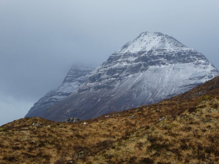
Liatchach
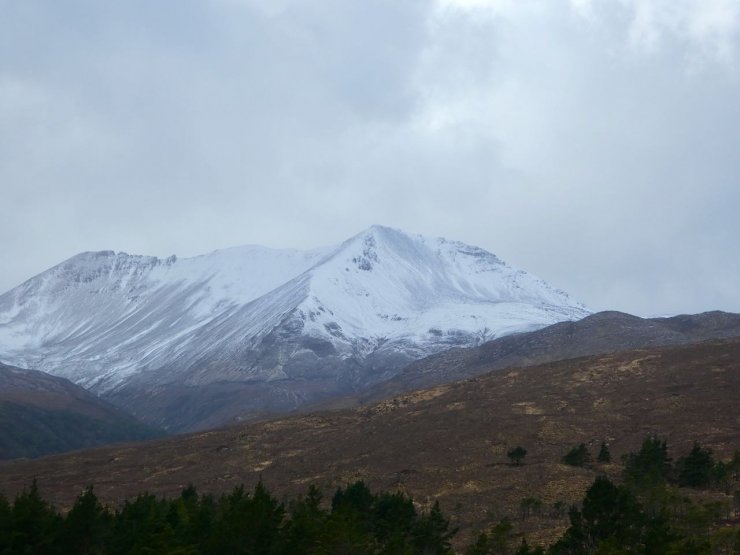
Creag Dhubh, Beinn Eighe looking whiter than yesterdays picture.
Comments on this post
Got something to say? Leave a comment