Summit Cloud in the Fannaichs.
11th March 2024
Persistent SE winds brought cloud to the higher summits on the inland mountains of our forecast area, with brighter conditions towards the coast. Little to no change observed in the snowpack today which remains stable throughout and very firm above 800m. Most snow observed on high N to E aspects, particularly noticeable in the northern coires of the Fannaichs. Very limited snow cover on mountains further west.
Although there will be a slow thaw and a surface softening of the snowpack likely during the day tomorrow, it will generally remain firm, particularly around the higher summits.
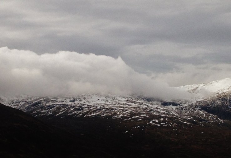 (Above) Cloud billowing over the summit of Sgurr Mor (1110m.) driven on a strong NE wind. The lowest patches of snow in the photo are at around 650-700m. on a northerly aspect.
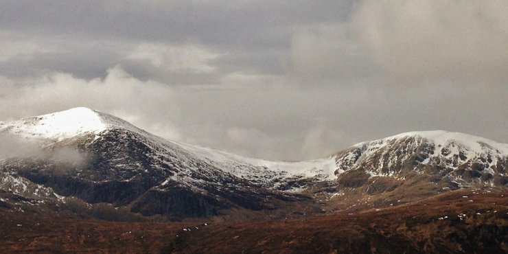 (Above) The cloud was breaking up over the more northerly mountains in the Fannaichs revealing the extent of the snow cover remaining on N to E aspects around coire rims, in gully lines and on selected summit slopes. Carn na Criche on the left (961m.) and Meall a’Chrasgaidh (934m.) on the right.
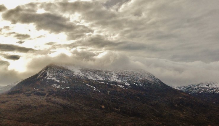 (Above) The northerly aspects of the north top, Beinn Liath Mhor Fannaich at around 850m. There was the slightest hint of fresh snow today, lying above 750m. on north aspects from overnight precipitation.
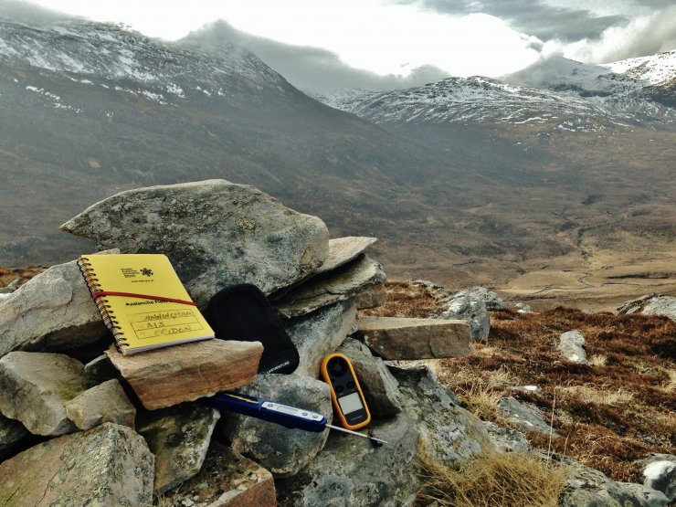 (Above) Tools of the trade. In the absence of snow, we continue to record weather data. In the photo we have an Avalanche Field Book, a thermometer, an anemometer and an i-phone/camera with a map/GPS app. The data are uploaded into the Snow Profile page of our Avalanche Forecasts.
Comments on this post
Got something to say? Leave a comment


