Showers, Wintry Above 650m.
23rd March 2024
Blustery, occasionally heavy and prolonged showers, falling as snow generally above 650m. Although, during the more intense showers, snow fell to 500m at times, but quickly thawed at the lower elevations below the freezing levels. Areas of fresh windslab are building in higher wind sheltered locations, mainly steep E to S aspects and mainly lying on bare ground. Elsewhere, new snow deposits are shallow and windward aspects are scoured at higher elevations. Areas of windslab will continue to build overnight and early morning in same locations.
Poor photos today due to cloudy conditions – and bad timing of the showers….
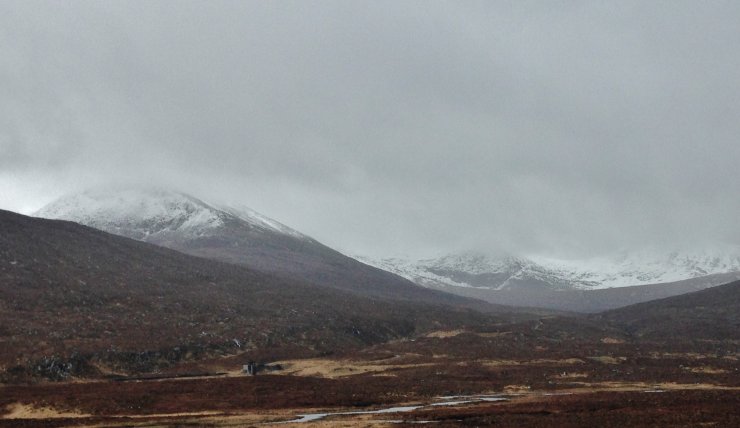 (Above) The Northern Fannaichs – as good as it got! Photo taken on way back to base. The snowline is around 650-700m. and generally a shallow covering of new snow.
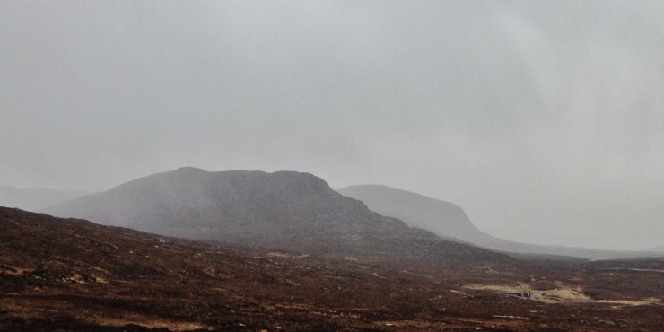 (Above) Bare ground at 550m.
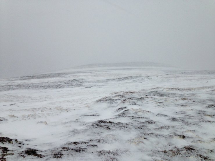 (Above) Slightly deeper deposits of new thawing snow at 650m. on Beinn Liath Bheag in the Fannaichs.
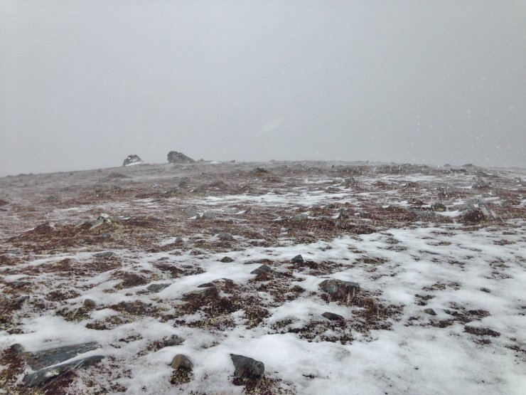 (Above) The generally scoured summit of Beinn Liath Bheag. Drifting of snow noted during the showers, in the very strong NW wind.
Comments on this post
Got something to say? Leave a comment


