Not early enough
28th March 2024
An early start gave good views of the snow on Slioch and Beinn Airigh Charr across loch Maree but wasn’t early enough for views of Beinn Eighe. These tops were stubbornly in the cloud and remained there all day.
The thin cover of new snow from yesterday is rapidly melting as the freezing level rises. The older snow remains firm under foot with reasonable cover above 800 metres and greatest accumulations in gullies, around corrie rims and on ridge flanks on East to South aspects.
Scattered showers tomorrow will be rain at most levels with some summit snow and moderate South-South-Westerly winds. The snowpack will continue to gradually thaw and diminish at most levels. Similar conditions over the weekend although slightly milder and lighter winds.
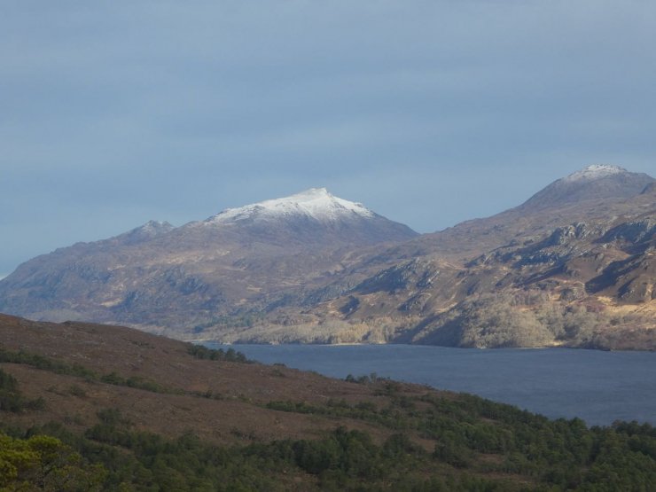
Slioch early this morning
Looking across Loch Maree to Slioch 2 hours later with the snow line retreating back up the hill.
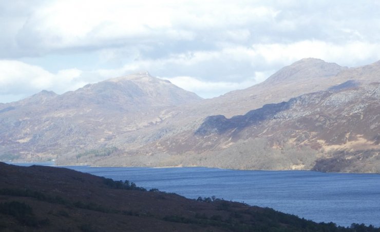
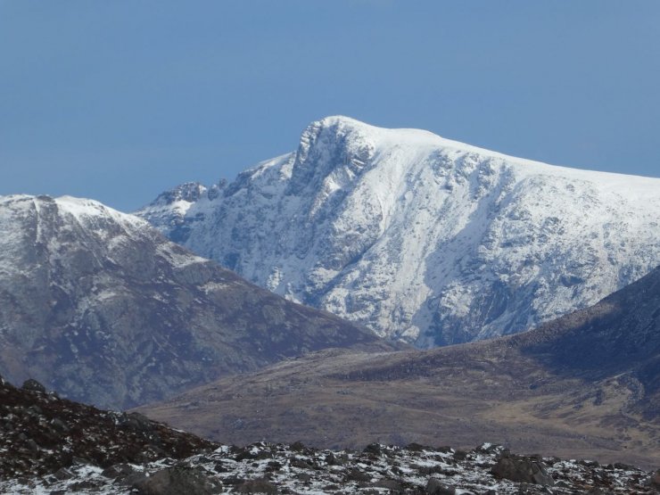
Looking across Loch Maree to Beinn Airigh Charr at 791m, a summit near the coast just outside our area.
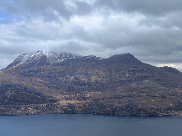
The same view 2 hours later. The fresh snow was rapidly retreating, particularly on the lower more coastal hills.
Looking past Slioch to A’Mhaighdean before the freezing level went up to around summit level.
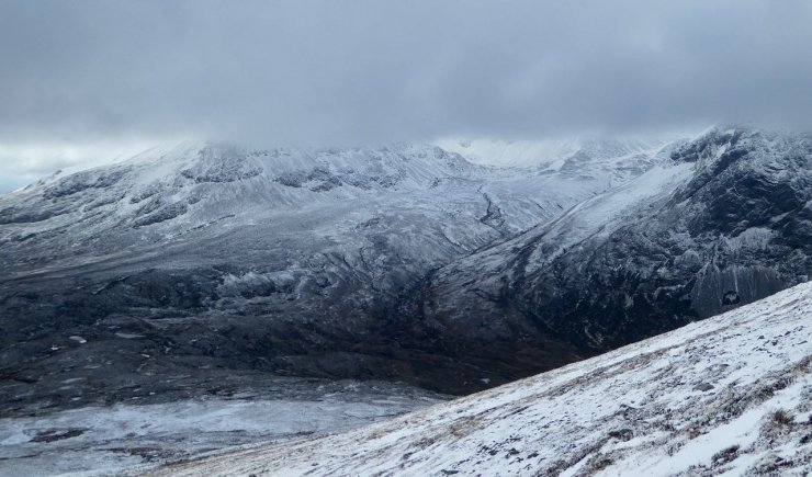
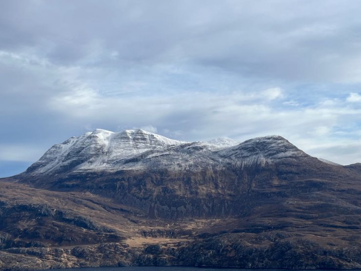
As much of the North side of Beinn Eighe as was visible today. Creag Dhubh on the left and Ruadh-stac Beag on the right.
Comments on this post
Got something to say? Leave a comment