A Cranreuch Cauld!
25th March 2024
A colder day compared to yesterday. A biting East wind (cranreuch cauld) combined with summit cloud delivered pulses of drizzly snowfall to the tops of the Fannaichs, although amounts are very small giving the merest of dustings. Brighter in the coastal ranges as they are in the rainshadow. Otherwise, there is little change in the snowpack which has generally good stability throughout. Little change again expected tomorrow.
Below are a few shots of the current snow distribution in the northern Fannaich mountians. Unfortunately, the high tops largely remained cloud bound.
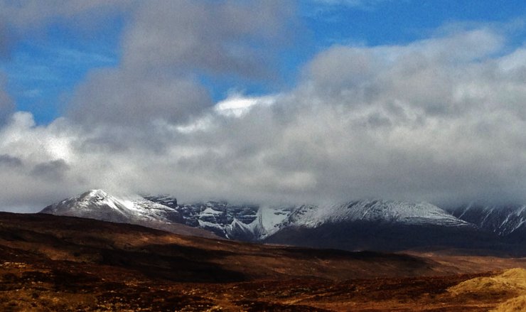
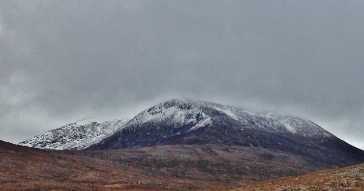 (Above) The North top of Beinn Liath Mhor Fannaich (830m.) showing a dusting of new snow above 650m.
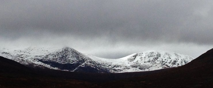 (Above) The E and SE aspects of Carn na Criche (left) and Meall a’ Chrasgaidh. Although it looks very wintry from a distance, the snow cover is generally shallow, with greatest accumulations remaining above 800m., round high coire rims, on ridge flanks and in tops of gullies. Exposed patches of old snow are very firm and icy in places.
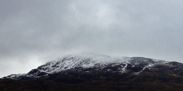 (Above) The NE aspect of Meall a’ Chrasgaidh.
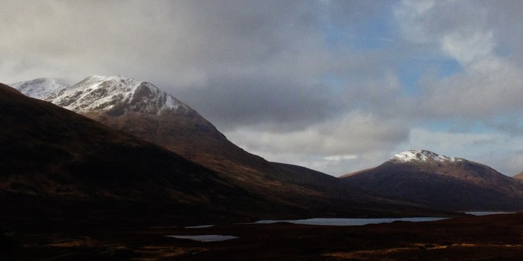 (Above) Sron na Goibhre (870m. the N ridge of A’ Chailleach) on the left and Groban (749m.) on the right above Loch a’ Bhraoin. Looking brighter towards the west behind Groban.
 (Above) A bit of sun on An Teallach
Comments on this post
Got something to say? Leave a comment


