Wintry Showers
13th February 2024
Wintry showers in the morning, some heavy, eased a bit in the afternoon with sunny spells. There has been a significant amount of snowfall in the last 24hrs, most of which has drifted into wind sheltered locations by the strong SW wind and deep localised accumulations of moderately bonded windslab have developed mainly on N to E aspects above 700m. Lighter winds and largely dry tomorrow ahead of the next weather front.

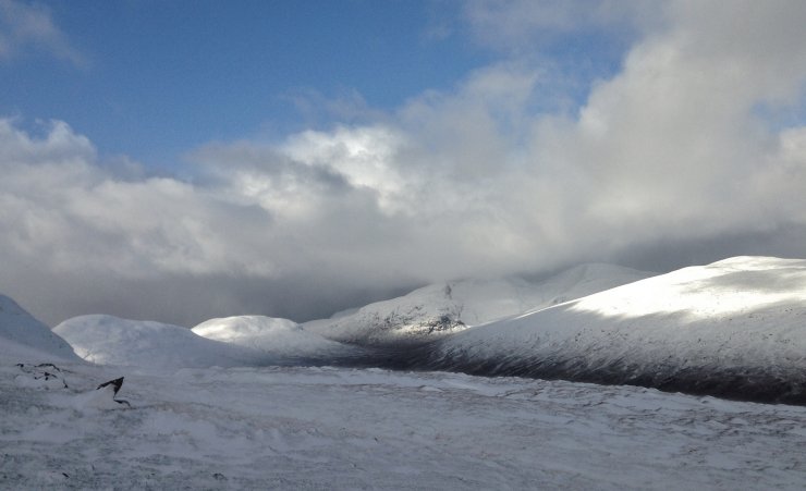
(Above) A wintry landscape in the Fannaich mountains. Meall a’ Chrasgaidh on the left and Sgurr nan Clach Geala on the right. The snowline in the photo is around 450-500m.
(Above) Looking into the mountains of the Great Wilderness with the next snow shower queuing up behind. The showers today were pretty blustery with gale force gusts.
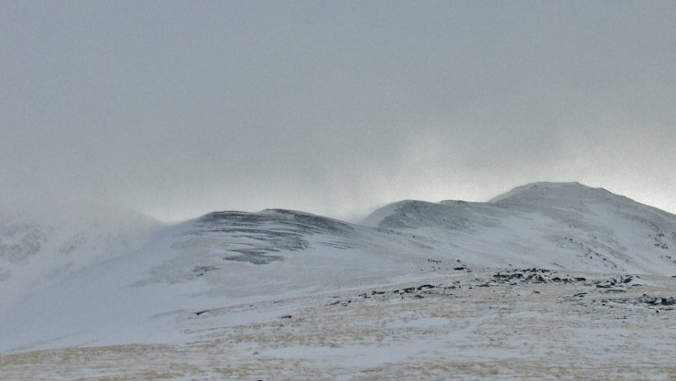
(Above) The exposed ridge of Druim Reidh leading up to the summit of Toman Coinnich (935m). Windward terrain features above 600m were scoured by the strong winds. In this photo, snow is drifting from right to left. On the far left, Sgurr Breac is obscured by spindrift.

(Above) Drifting snow settling onto wind sheltered lee slopes as windslab. However, much of the spindrift was blown to lower elevations in the strong gusty winds. Fragile cornices are developing above lee slopes.
Comments on this post
Got something to say? Leave a comment


