Sunshine, Showers and Gales
29th February 2024
Word for today is sublimation – the process of a solid morphing direct to a gas, bypassing the liquid phase.
The showers today were pretty localised and scattered, wintry at higher elevations above around 750m. with occasional blizzard conditions. Any snow that fell during the brief showers was mostly blown to lower elevations in the gale force SW wind and as the snow crystals drifted well below the 0 degrees C isotherm, some would have sublimated into water vapour. For most snow crystals, there would likely have been a period of melt water in the air beforehand.
So, only pockets of windslab accumulated today in wind sheltered locations, generally N to E aspects above 800m. where they would be shallow and largely avoidable. Elsewhere, there is a dusting of fresh snow and wind exposed terrain is scoured. The older snow cover is refreezing and will be firm at summit levels.
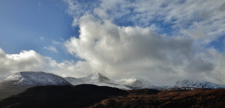 (Above) A distant panorama of the northern Fannaich mountains. Most snow in the photo is older snow with a dusting of new snow visible above 750m. There is obvious scoured terrain on the windward (SW/righthand) aspects.
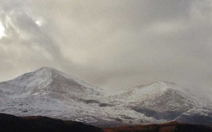 (Above) A closer view of Sgurr Mor on the right and Carn na Criche. After the previous days thaw, there is very little snow left below 700m. It was milder this morning than forecast – note the ‘black’ crags on Carn na Criche. New snow at lower elevations is soft and moist.
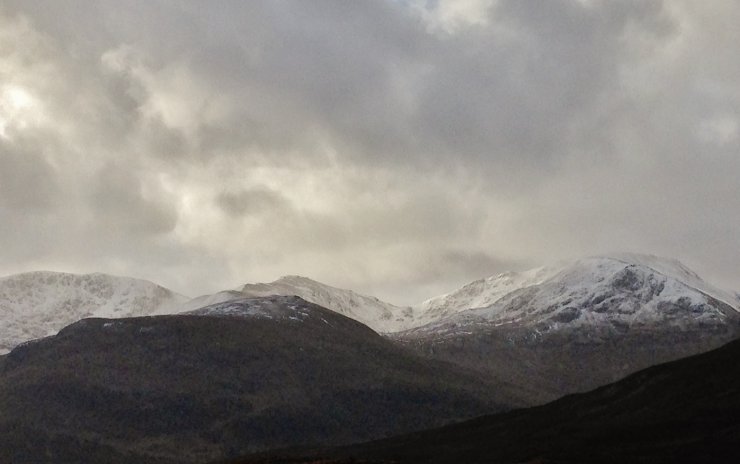 (Above) Similar snow cover on the southern Fannaichs. Note the ‘haze’ of spindrift around the summits following the passing of a wintry shower.
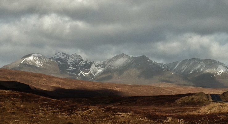 (Above) Spring-like snow cover on An Teallach.
Comments on this post
Got something to say? Leave a comment