Rain – Sun – Showers
20th February 2024
As forecast, heavy overnight rain at all levels cleared by 9.00am, followed by a sunny interlude before rain showers arrived by 1.00pm. The freezing level is due to fall later this afternoon with wintry showers over the higher summits, but at time of writing, the air temperature remains +9 degrees C at sea level.
The very patchy and moist snow cover has diminished further over the last 24hrs. Yet another freeze-thaw-freeze cycle expected over the following 24hr period, with further overnight rain at all levels, followed by a dusting of fresh snow tomorrow afternoon over the summits.

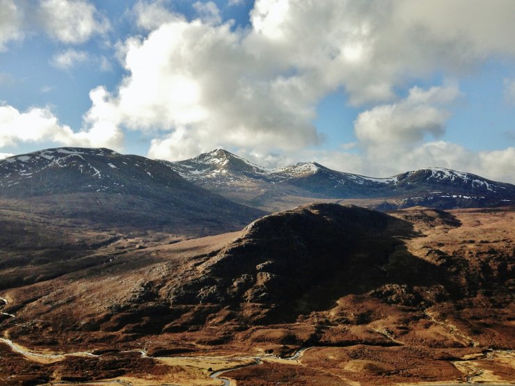
(Above) The last of the rain clearing the southern Fannaich mountains this morning. Spot the snow….
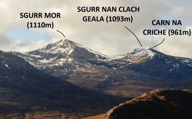
(Above) As the rain cleared, good visibility and sunny periods allowed fine views across the Dirrie Mor into the northern Fannaichs. Most of the patchy snow lies on N through E to SE aspects, generally above 700m.
(Above) The most snow that remains in the Torridon forecast area. Whereas the coastal mountains in the SW of our forecast area, such as Beinn Alligin, Beinn Bhan and Liathach, has virtually no snow remaining (check out yesterday’s blog photos), the big hills in the more inland NE sector of the Torridon forecast area (see above) still look a bit wintry on their Eastern coires.
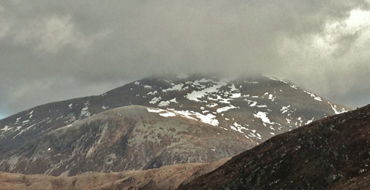
 (Above) The East aspects of Meall a’ Chrasgaidh and Carn na Criche.
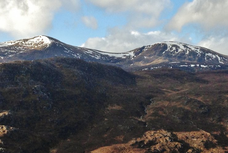
 (Above) Looking into the Eastern coires of An Teallach.
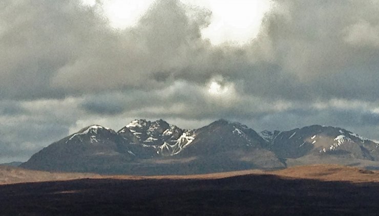
 (Above) Although to the north of the Torridon forecast area, it is interesting to see how much/little snow remains on the South aspects of Beinn Dearg.
Comments on this post
Got something to say? Leave a comment


