Big Thaw!
27th February 2024
The overnight rain, high winds and mild temperatures have had a massive impact on the snow cover in the Torridonian Mountains. Remaining snow is mainly confined to steep North through East to South-East aspects above 800m. This snow is consolidating and generally stable. Elsewhere any snow is shallow and inconsequential. The Avalanche Hazard is Low for tomorrow. The forecast for today had suggested we might get up to 10cm of fresh snow, this did not materialise. More like 10mm of snow on the highest tops. Temperature in the Glen was around 8 degrees Celsius.
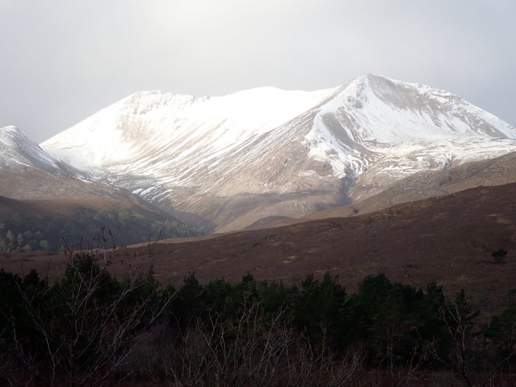
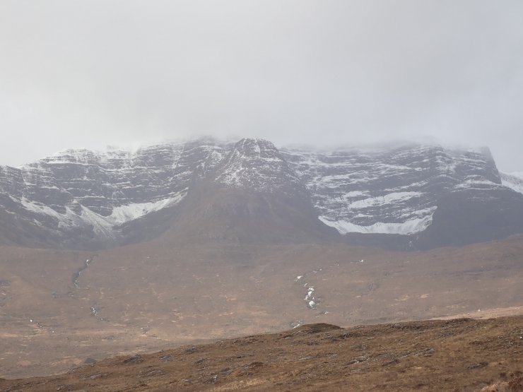
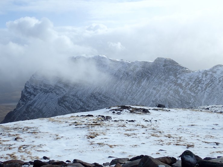
Looking towards the Eastern end of the Beinn Eighe ridge.
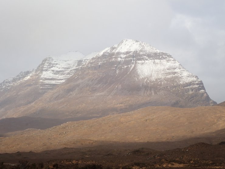
The South side of Liathach.
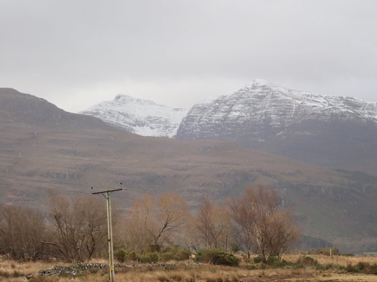
Looking across to Ben Damph, the North aspects holding the greatest amount of snow.
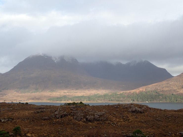
Beinn Alligin looking across Upper Loch Torridon. The South aspect pretty devoid of snow.
More like ‘Watery Tears’ rather than ‘Silver Tear’ in the Eastern corries of Beinn Bhan.
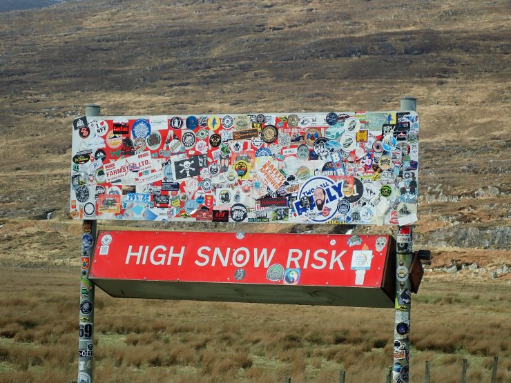
REALLY? The road sign at the bottom of Bealach na Ba.
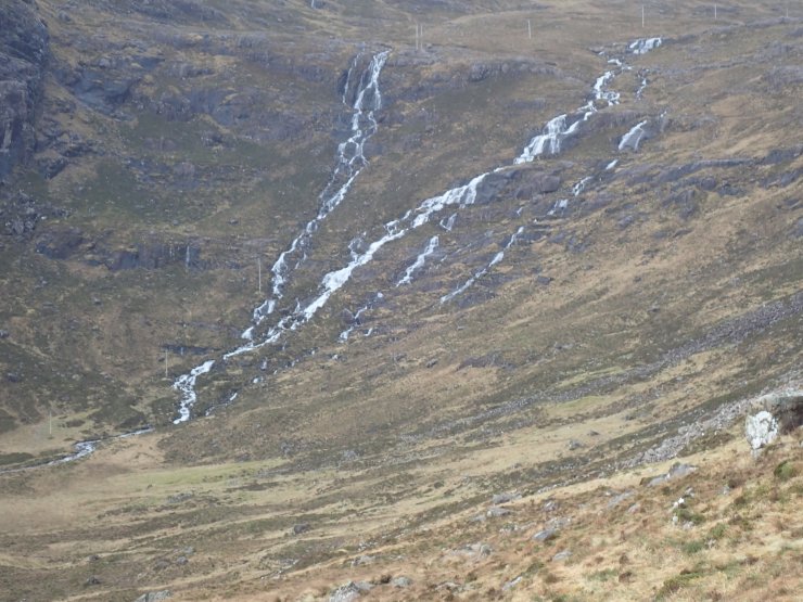
So this is where all the snow has gone…….
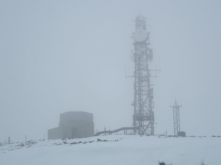
The comms mast and Met Office weather station on the summit above Bealach na Ba. This is the weather station we will often reference as the closest one to the Torridon forecast area giving historical actual weather data. It is located at an altitude of 776m. Bealach Na Ba (Highland) weather – Met Office
Between the showers looking across to the Northern aspect of Sgurr Ghaoiacha from the weather station.
Comments on this post
Got something to say? Leave a comment