Between the Storms?
23rd January 2024
Rising temps, heavy rain and very strong winds by late morning continued into the afternoon – and this is supposed to be the calm before storm Joycelyn! I thought I’d beat the weather today by an early start, but no such luck. There was a noticeable sudden change in the weather. Rain at summit levels by the afternoon was preceded by snow during the morning. Unfortunately, I was unable to see the tops due to a lowering cloud base as the rain arrived. And any number of wild horses could not drag me up high today!
Below are of few landscapes showing the current patchy snow cover up to around 750m. in the Fannaich mountains.
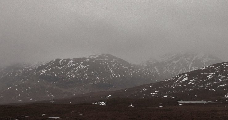
(Above) Looking onto Toman Coinneach centre and A’ Chailleach on the right. Cloud base is around 700m. in this photo. with pretty patchy and thawing snow cover below this level.
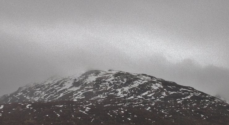
(Above) The North and North-East aspects of Meall a’ Chrasgaidh, with the cloud base again around 700m.
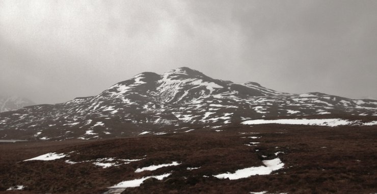
(Above) Most snow remains on North-East to South-East aspects, mainly at higher elevations. Meall an t-Sithe at 600m. height.
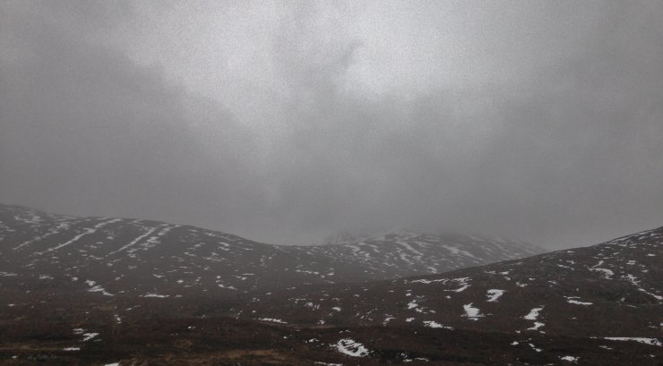
(Above) Heavy rain and lowering cloud (cloud base 600m.) on Beinn Liath Mhor Fannaich by late morning.
Comments on this post
Got something to say? Leave a comment