Another storm cycle
22nd January 2024
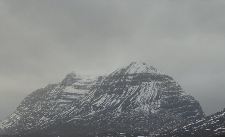
After another thaw last night the snow cover is further depleted. Colder temperatures have continued to consolidate the snowpack today. While there is significantly less snow, plenty remains particularly in coires and gullies and summit areas with North-East to South aspects holding most snow. Winds were very strong today with little fresh snow sticking to the mountain as can be seen in the photo below. This is often the case with very strong winds in Torridon.
A little more snow is forecast overnight then another thaw cycle begins tomorrow. The theme continues with colder temperatures on Wednesday and a further thaw cycle forecast for Thursday afternoon.

Limited snow remaining around the rim of Coire a Chaorachain, more remains further inland. Also note the lack of new snow accumulations in the strong winds.

Looking across Loch Maree to Slioch

Creag Dhubh, Beinn Eighe

Coire an Laoigh, Spidean Coire nan Clach, Beinn Eighe
Liathach

Looking across Loch Torridon to Beinn Alligin

Beinn Bhan
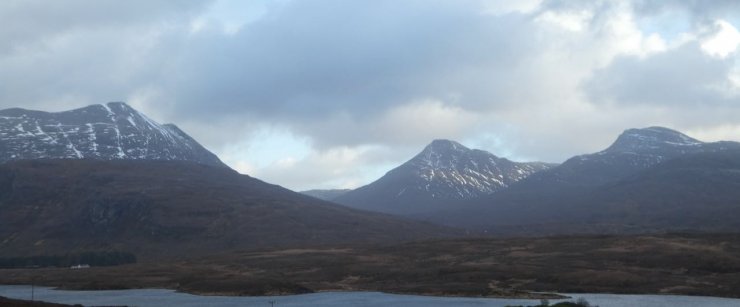
Beinn Damh (left), Maol Chean-dearg (centre) and An Ruadh Stac (right) Western aspects have had less snow most of the winter, after the thaw there is now a lot less snow than Eastern aspects..
Comments on this post
Got something to say? Leave a comment