An Arctic Blast
15th January 2024
A bitterly cold day on the hill, but great views between snow showers. There is a shallow covering of new snow at all levels and on most aspects, except those exposed to the cold and fresh NW to N wind. Some drifting of snow noted today, especially during and immediately following a snow shower. This has led to the development of unstable windslab in steep wind sheltered locations, particularly at height on E to S aspects. Check the report pages for more details. More of the same for tomorrow.
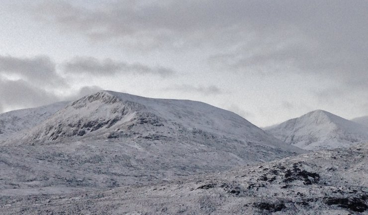
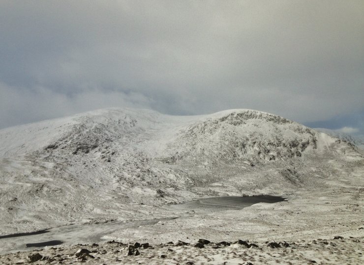
(Above) Beinn Liath Mhor Fannaich and Sgurr Mor early morning between snow showers. The snowpack is generally shallow, but with deeper drifts in wind sheltered locations.
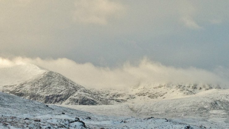
(Above) Approaching snow shower over Carn na Criche and Meall a’ Chrasgaidh.
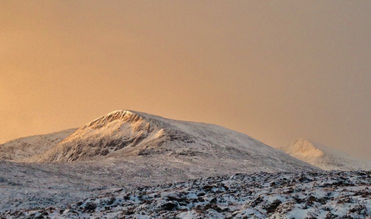
(Above) Brightening up following a snow shower. The showers were relatively light, but occasionally frequent with the odd one a bit more intense.
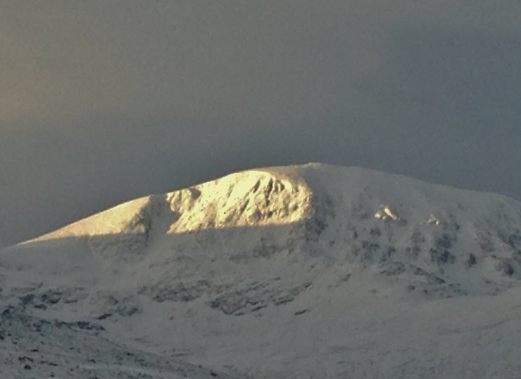
(Above) Cornices developing around the coire rim of the sunlit eastern coire on Meall a’ Chrasgaidh.

(Above) Shallow snow cover on the NE face of the north top of Beinn Liath Mhor Fannaich (830m.)
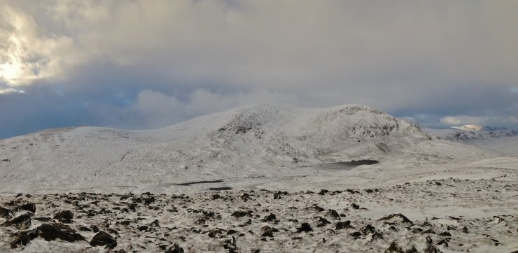
(Above 2 photos) Beinn Liath Mhor Fannaich. Greater snow cover on E to SE aspects and exposed summits are scoured.
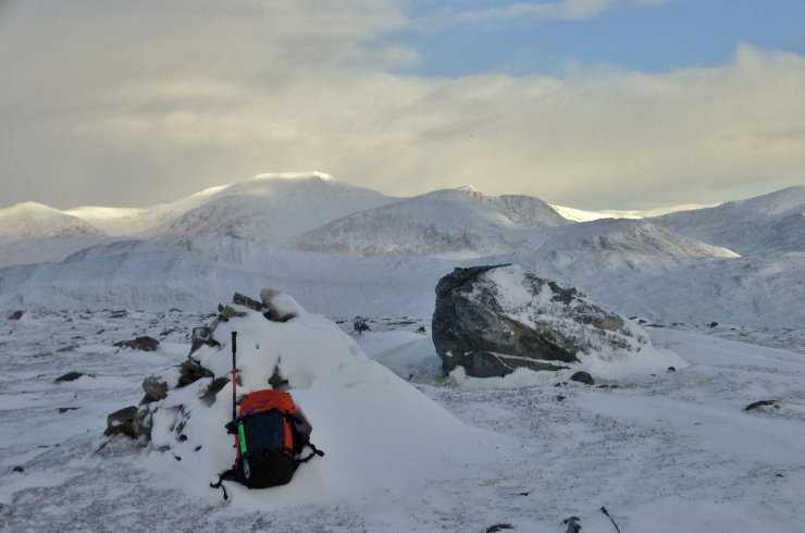
(Above) The exposed summit of Beinn Liath Bheag (665m) with the Beinn Dearg mountains in the background. Note the fresh snow drift in the lee of the summit cairn. Weather obs here recorded -5.2C and a NNW average wind speed of 16mph. High windchill!
Comments on this post
Got something to say? Leave a comment


