All change
20th January 2024
After the last few days winter wonderland, today was very different. Overnight snow had turned to rain at all levels and a significant thaw is taking place. Still plenty of snow high up particularly on East aspects but a significant decrease in cover lower down. I did manage to travel by ski today and link snow patches from about 360 metres but a carry was required and the carry was a bit bigger on my return than on the way up. Avalanche debris was observed at the bottom of a North-East aspect on Creag Dubh, Beinn Eighe today. Most likely triggered when precipitation turned to rain early this morning.
Temperatures will fluctuate tomorrow and for the next few days. The thaw will continue with rain into this evening, followed by a colder spell tonight and tomorrow morning before another warm spell with rain from mid afternoon tomorrow.
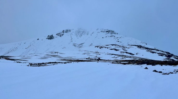
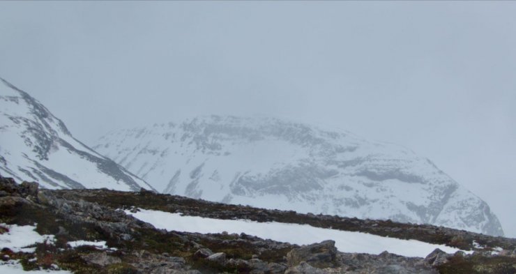
Creag Dubh, Beinn Eighe, avalanche debris shown in the next picture is on the right hand side of the face.
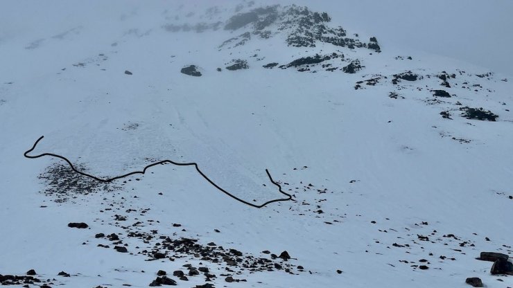
Avalanche debris observed on a North-East aspect at 700 metres today. Most likely triggered at around 800 metres, when precipitation turned to rain this morning.
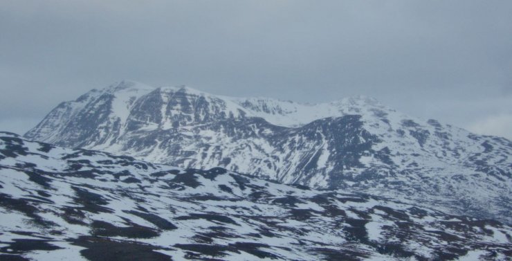
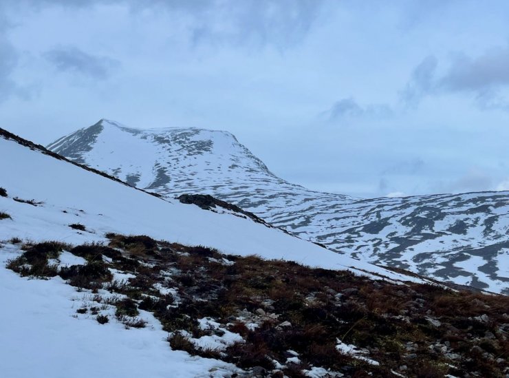
Slioch
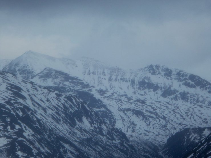
Mullach Coire Mhic Fhearchair
Meall Ghiuthais
Ruadh-Stac Beag
Comments on this post
Got something to say? Leave a comment


