After the thaw, before storm Isha
21st January 2024
A calmer window this morning gave a chance to look a the snow cover after yesterdays thaw and before the arrival of storm Isha this evening. While there has been a significant thaw and depletion of snow particularly at lower levels, plenty cover still remains. Good cover remains in coires and gullies and summit areas as shown by todays photos of both the Torridon hills and the Fannichs. There has been a refreeze above about 700 metres. Initially just a breakable crust but much firmer higher up and crampons were required above about 850 metres today.
The stormy weather and fluctuating temperatures continues for the next few days. Another significant thaw this evening followed by colder weather tomorrow, another wet mild day to come on Tuesday.
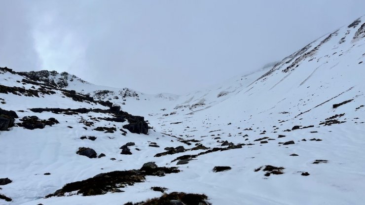
Coire an Laoigh, Spidean Coire nan Clach, Beinn Eighe.

Sgurr nan Fhir Duibhe, Beinn Eighe.

Liathach

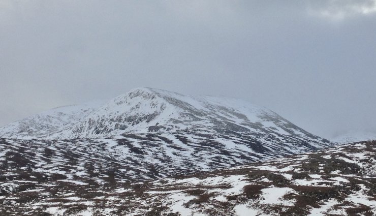
Fionn Bheinn
The Eastern coires of An Teallach.
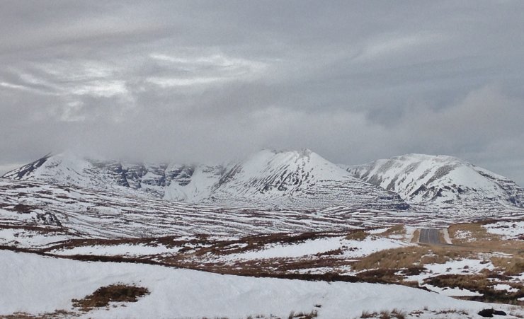
Sgurr Breac (999m) on the left and Toman Coinneach (935m) in the Fannaichs.
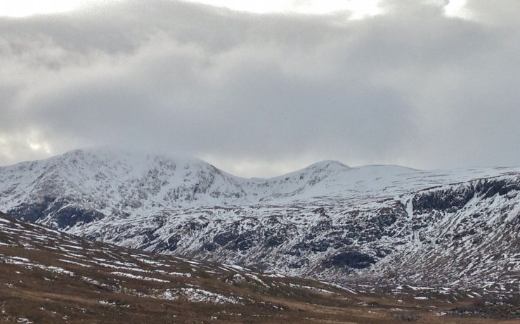
Snow cover on the NE face of the North top of Beinn Liath Mhor Fannaich (820m)
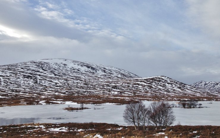
Patchy snow cover at 600m in the Fannaich mountains.
Comments on this post
Got something to say? Leave a comment


