Very Mild, Very Wet and Very Windy!
16th December 2023
Currently there is insufficient snow cover to present any avalanche hazard. Plus 11C at sea level today (observed 9C at 350m) combined with heavy rain and South Westerly gales made for a very unpleasant day! There is a Met Office amber weather warning for heavy persistent rain over the Torridon forecast area for tomorrow. Over 75mm of rain on the Torridon tops and over 80mm for the Fannaichs is forecast for the next 24hr period! At least the gales are slightly moderating through the day tomorrow. Hmm.
Highlights of the Day:
Getting home largely dry. Pretty impressive rising water levels in the burns.
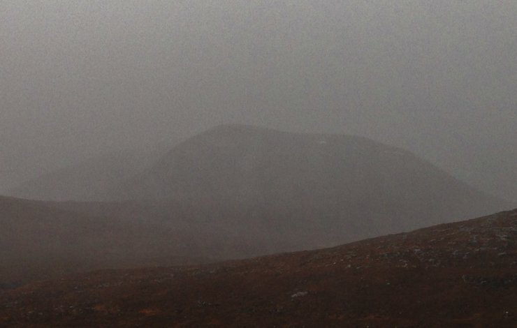
(Above) North top of Beinn Liath Mhor Fannaich as seen through sheeting rain.
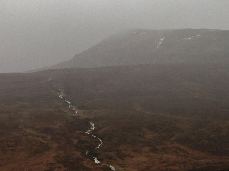
(Above) NE aspect of Meall a’ Chrasgaidh (934m) where lingering wet snow patches are hanging in there. The burns were visibly rising as the effects of the persistent rain came to bear.
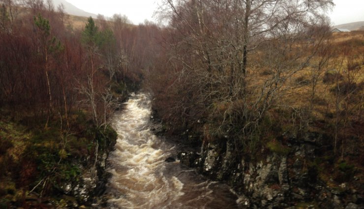
(Above) The Abhainn Cuileig. The burn on Meall a’ Chrasgaidh feeds into the Abhainn Cuileig, which in turn feeds into the River Broom just below the Coirrieshallach gorge. We’ll see how much this rises by tomorrow afternoon.
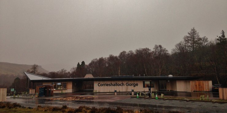
(Above) The new National Trust for Scotland visitor centre. Best activity for today is to stay on low level walks, or do the tourist thing….
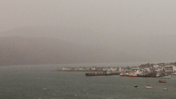
(Above) ….or, visit the cafes, restaurants and bars in Ullapool!
Comments on this post
Got something to say? Leave a comment