Floods!
17th December 2023
Currently there is insufficient snow cover to present any avalanche hazard,
As expected, intense rainfall overnight and through this morning led to floods on the roads and most burns and rivers in spate – and that’s without the added water from snow melt! Warm air temps again today with over 12C observed at sea level this morning. Wind and rain eased slightly this afternoon but summit Westerly gales continue to persist.
Although Westerly gales will continue, it looks like it will become a touch colder tomorrow afternoon and through Tuesday as rain turns to showers with sleet and snow probable on the highest tops but snow amounts are not expected to be significant. Unfortunately, it is forecast to be warm, wet and windy again on Wednesday as the freezing level rises above the summits.
Highlights of the Day: Again today, there was an impressive amount of water running off the hill. There were burns running where I haven’t seen burns before! Stepping out the house this morning was like stepping out a plane onto the tarmac at Malaga airport in June. You know what I mean, with that blast of hot air….?
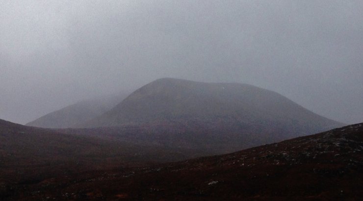
For those, like me, that are getting withdrawal symptoms from lack of snow, the first photo will give you a minor hit…

(Above) Liathach from Glen Torridon. Hopefully we will see the hills like this again soon! However…..


(Above 3 photos) ….this was as good as it got around the Fannaichs today.


(Above 2 photos) Burns and rivers in spate. River crossings will prove to be ‘challenging’… OK, impossible in most cases.
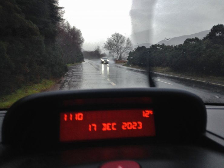
(Above) Says it all.
Comments on this post
Got something to say? Leave a comment


