First Blog Season 2023/24
4th December 2023
Welcome to the Torridon Blog for this season. We have been on standby since beginning of November. Snow amounts in the Torridon forecast area since then have largely been small. It has been very cold over the last few days with ground frosts in the glens and at sea level. Recent showery snow falls have been driven on generally light to moderate North to East winds.
Currently, there is an overall shallow snow cover lying above 600m in the Torridon mountains and the snowline is a touch lower in the Fannaich mountains. Pockets of deeper snow exists in high wind sheltered areas mainly on steep South to West aspects. The Avalanche Hazard is Low.
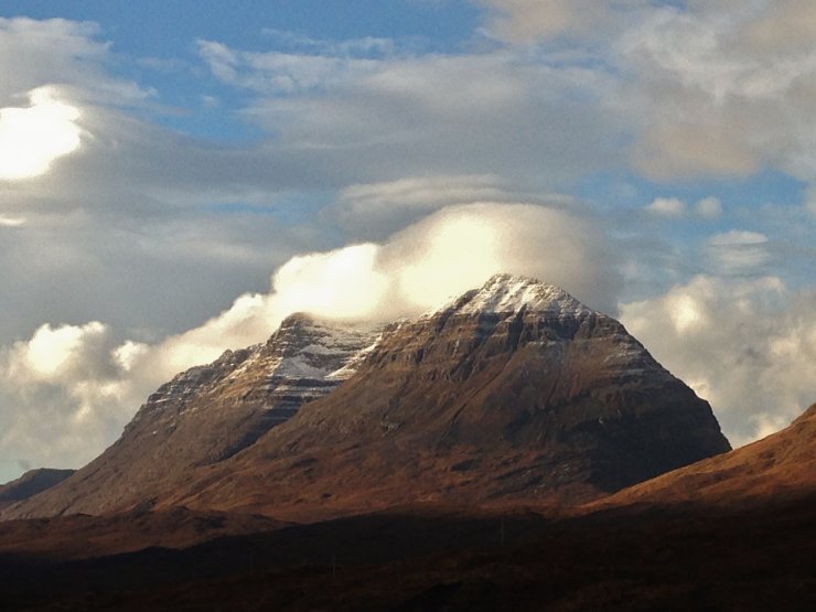
(Above) The classic view of Liathach from Glen Torridon this morning. There is less snow on the more coastal mountains than further inland which is typical with an Easterly airflow.
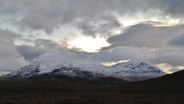
(Above) North-West aspects of Sgurr Breac and A’ Chailleach of the Fannaich mountains this afternoon.
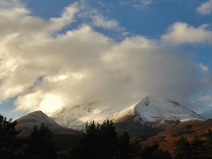
(Above) Creag Dubh at the East end of Beinn Eighe. Shallow snow cover above 600m.

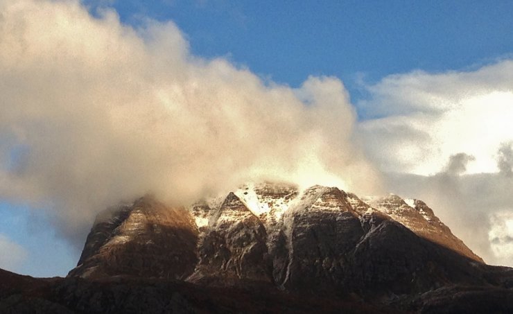
(Above) Coire an Laoigh, Beinn Eighe, with Stuc Coire an Laoigh (840m) on the left and the summit of Spidean Coire nan Clach in the clouds.
(Above) The South-West aspect of Slioch.
Comments on this post
Got something to say? Leave a comment


Philip Marsh
8th December 2023 6:56 pm
Welcome back, your posts (and colleagues) are brilliant!
torridonadmin
14th December 2023 3:12 pm
Thanks Philip. A mild start unfortunately, but we are all looking forward to a good winter season.