Another Storm
30th December 2023
A return to stormy conditions again today. A dry start gave some views and a chance to look at the more coastal hills. The dry conditions soon gave way to Gale force East-South-Easterly winds and heavy precipitation which was snow above around 450 metres. Snow distribution is quite varied across the Torridon area with less snow on the more coastal mountains. Today I looked at Beinn Damh above Loch Torridon before the worst of the weather arrived, less snow here than on Beinn Eighe yesterday, the Fannichs further inland will have more snow. Spin drift was seen on many of the hills a good indication that windslab is forming, more details in the avalanche hazard report.
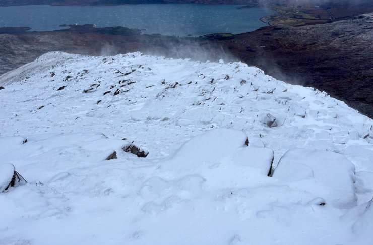
Snow starting to drift at 700m as the winds picked up before the worst of the weather arrived this morning.

The walk in towards Beinn Damh (903m). less snow on the coastal hills than further inland.
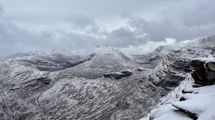
Maol Chean-dearg (933m) in the centre

Looking across Loch Torridon to Beinn Alligin
Comments on this post
Got something to say? Leave a comment