After the Storm
28th December 2023
It was relatively calm on the hill today in the wake of storm Gerrit. Most snow has accumulated on localised areas South West through West to North aspects and largely above 700m. Exposed summits and windward slopes have mostly been blown clear of snow. It was thawing up to the higher tops this morning, but turned a bit colder later as it brightened from the South-West. Some residual instabilities persist in the snowpack above 800m in locations where the snowpack has gained depth and extent.
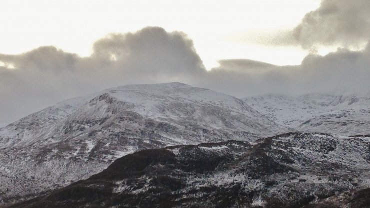
(Above) The snow distribution on the North to East aspects of Beinn Liath Mhor Fannaich (954m) this morning.
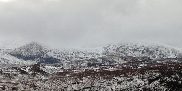
(Above) Similarly, snow distribution on the NE aspects of Carn na Criche (961m) on the left and Meall a’ Chrasgaidh (934m) on the right. ‘Blackening’ rock outcrops is indicative of thawing conditions.

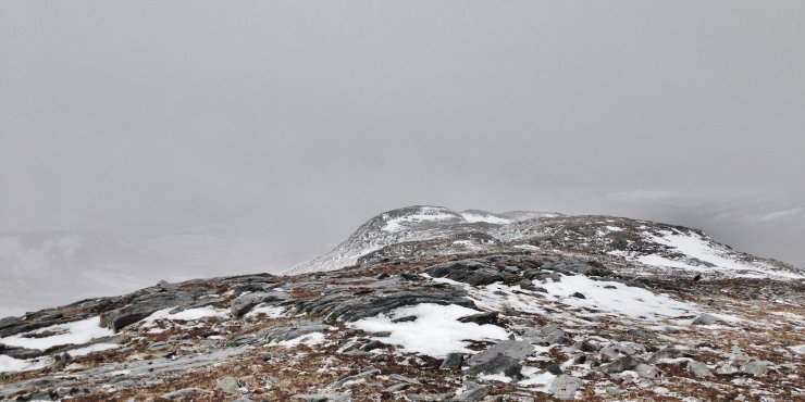
(Above) Snow drifts at 500 to 600m on NW aspect in the Fannaichs.

(Above 2 photos) Snow distribution at 700m in the Fannaichs ie the more northern mountains in the Torridon forecast area. The air temperature at this site at around midday was +1.9C and at a similar time at 800m in the south of the Torridon area (Sgurr a’ Choarachain nr Bealach na Ba) was +0.2. Slightly colder air was moving across our area from the South-West through the day.
Comments on this post
Got something to say? Leave a comment


Craig
28th December 2023 10:10 pm
Lovely day on Ben whyvis. Bitterly cold in the exposed wind but generally fine winter walk.