Winter has Returned – Briefly!
9th February 2023
Windy and cold today – a shock to the system after the recent mild weather. New snow cover lying above 450m initially but thawing as the freezing level rose to around 800m by the afternoon. Localised areas of windslab have formed in wind sheltered terrain from as low as 600m and upwards. Mild, windy and wet again tomorrow I’m afraid and wet snow instabilities will develop in the recently deposited windslab.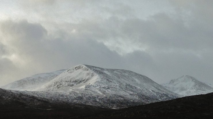
(Above) Beinn Liath Mhor Fannaich and Sgurr Mor first thing this morning. Spindift is visible blowing off the summits in the gale force Westerlies. The new snow cover is generally pretty shallow, but deep drifts exist in wind sheltered locations.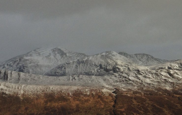
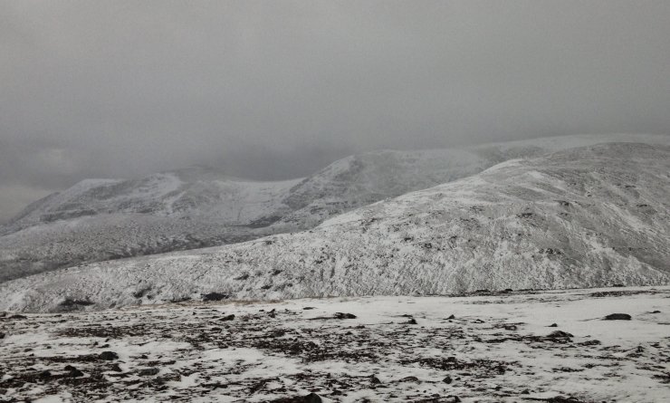
(Above) Looking across to the Beinn Dearg hills. Most wind exposed terrain is scoured. The snowline in the photo is around 450m. but rose significantly during the day, in line with the rising freezing level.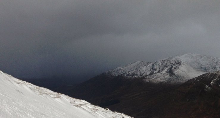
(Above) Some of the showers today were pretty heavy and intense.
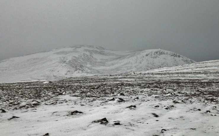
(Above 2 Photos) Looking from the summit of Beinn Liath Bheag onto the North to East aspects of Beinn Liath Mhor Fannaich and along the ridge to An Coileachan. Most of the recent windslab is on these aspects as is the patchy firm old snow.
Comments on this post
Got something to say? Leave a comment


