Wet, Wet, Wet
3rd February 2023
A reference to the ongoing thaw in Torridon, not Marti Pellow!
The diminishing snow patches are mostly concentrated on North to East aspects above 800 metres. Snowmelt with overnight rainfall combined with further showers during the day increased the level of mountain burns significantly.
An overcast day with the cloud level around 700 metres gave a dreich and gloomy day in Torridon.
The freezing level is expected to remain above the summits overnight and during the following morning before starting to lower to around 600 metres. The very ‘moist’ snowpack should begin to re-freeze and become a little firmer. Rainfall from mid-morning tomorrow will progressively turn to snow during the afternoon, bringing a welcome return to Torridon’s winter.
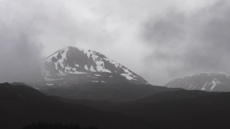
Creag Dubh on Being Eighe’s Eastern end, between the clouds.
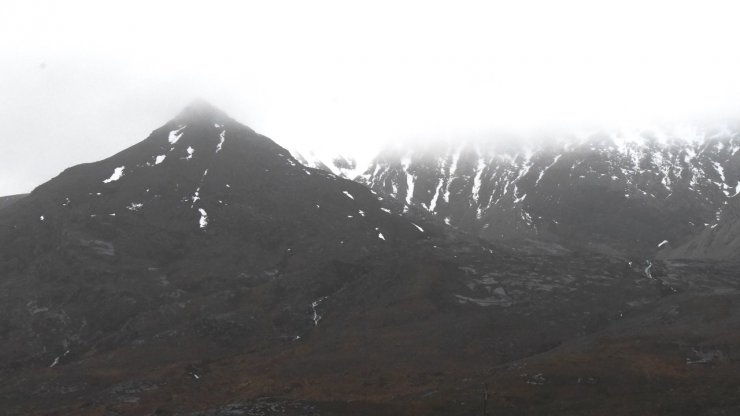
Coire an Laoigh on Beinn Eighe.

The burn line from Coire an Laoigh became more visible during the day as rainfall and snowfall combined.
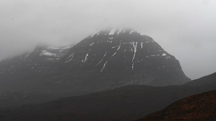
Eastern end of Llathach

A view of Loch Torridon in to the glen, a little bit of colour on a dreich day.
Comments on this post
Got something to say? Leave a comment


