Wet and Windy
23rd February 2023
The forecasted rain arrived a tad earlier than expected, so despite an early start, I was caught out when it started to properly rain mid/late morning. A cloudy day with strengthening winds and little change in the snow cover from yesterday.
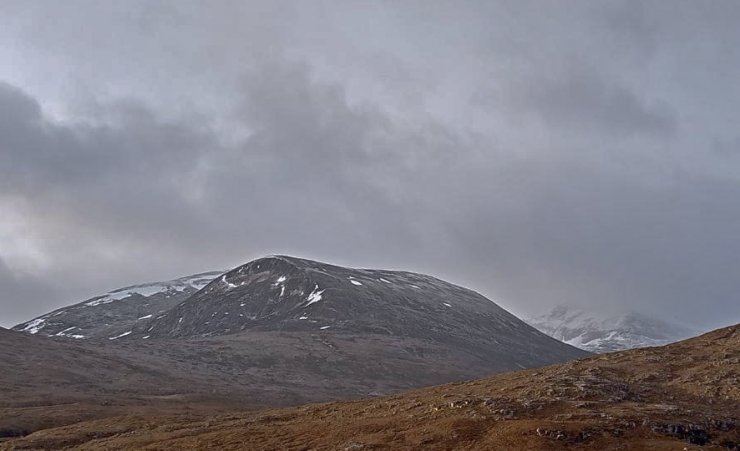
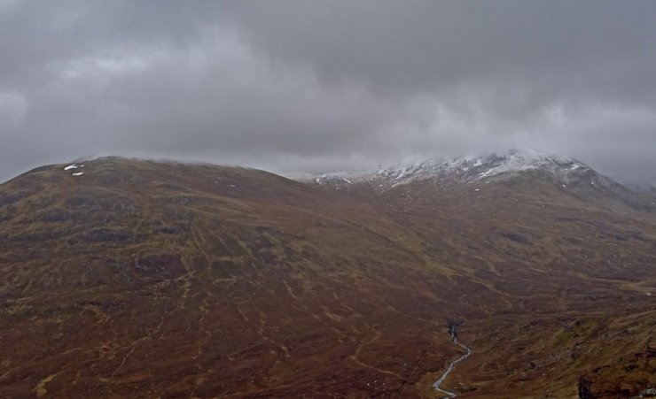
(Above) A hint of yesterday’s dusting of new snow on Beinn Liath Mhor Fannaich and a little bit more on Sgurr Mor in the background. The old snow patches will be firm at all levels after an overnight freezing.
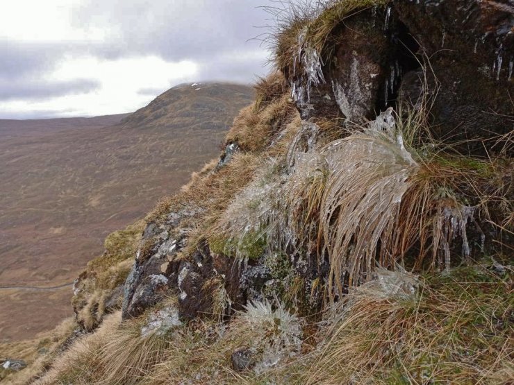
(Above 2 photos) Frozen puddles and ice covered vegetation is evidence of a refreeze at 600m. However, the ice was thawing at the time of taking the photos.
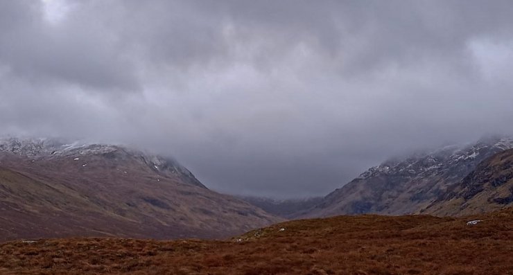
(Above 2 photos) As good as it got looking onto Meall a’ Chrasgaidh, Sgurr nan Clach Geala and Sgurr Breac. The remnant ‘fresh snowline’ is around 800m. A significant thaw is expected at all levels this afternoon and overnight as the freezing level rises to well above the highest summits, accompanied by persistent rain.
Comments on this post
Got something to say? Leave a comment


