Wave Bars and Lenticulars
14th February 2023
The early bird gets the photos. I was up on the tops before thickening cloud and spots of light rain arrived later in the day as a weak warm front travelled NE across our forecast area. Ahead of this, wave clouds caused by strong winds at height ‘bouncing’ off the mountains to the south, formed overhead. Little change in the snow cover; a slow thaw at all levels affecting the remaining patches of well consolidated old snow.
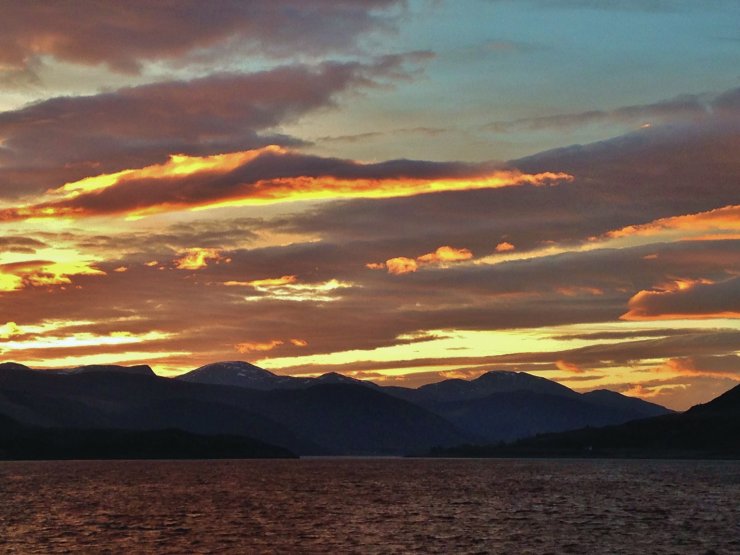
(Above) Sunrise over the Beinn Dearg mountains – from Ullapool looking up Loch Broom.
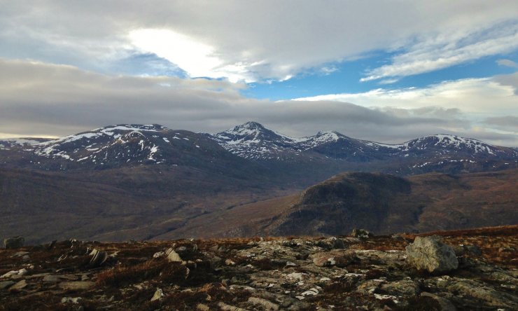
(Above) Remnant areas of snow lingering around the summits of the high Fannaich mountains. The lowest slivers of snow are around the 550m. level.
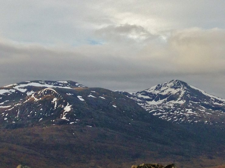
(Above) Snow patches on the southerly aspects of Beinn Dearg (1084m.).
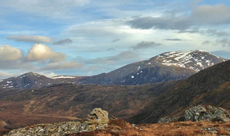
(Above) Most snow in the Torridon area remains on high North through East to South aspects. Looking onto Beinn Liath Mhor Fannaich (954m.) and Sgurr Mor (1110m.).
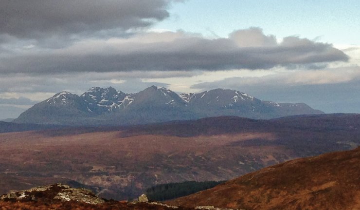
(Above) Looking into the eastern coires of An Teallach.
Comments on this post
Got something to say? Leave a comment


