Warm Earth…
4th February 2023
Another wet day in Torridon.
Rain at all levels was accompanied by gale force winds. The remaining wet snow cover is greatest on North-East to South-East aspects above 800 metres. The water levels in the burns noticeably rose a little during the day but did not reach the levels of spate we were expecting. Rain showers began to to turn to sleet on the highest summits as the freezing dropped during the afternoon.
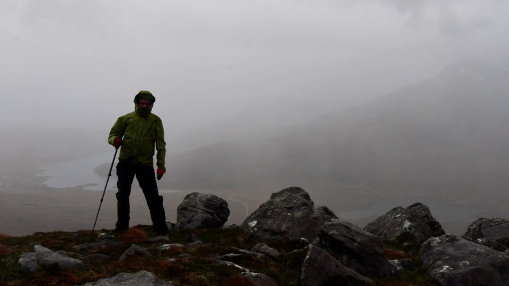
Wet and windy on Beinn Eighe
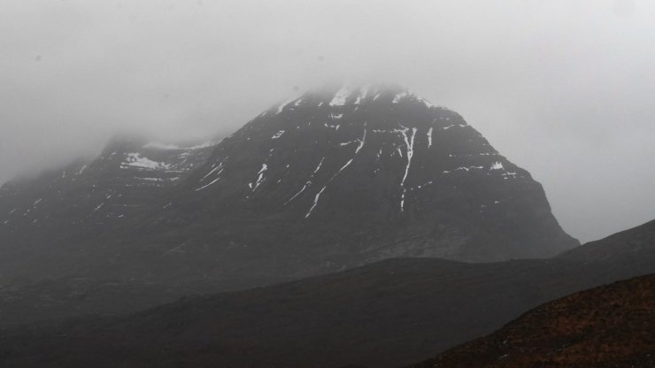
Easter end of Llathach
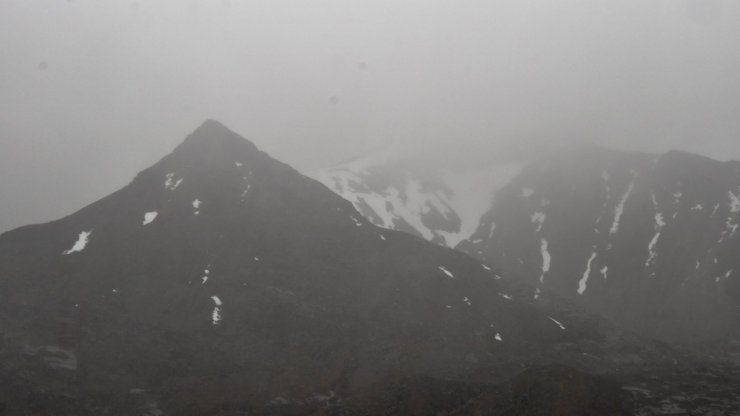
Looking into Coire an Laoigh
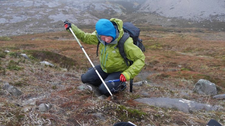
As you would expect on such a wet and snow less day our discussions on the walk down began to meander away from discussing snow. At around 500 metres we stopped to investigate the burning issue of the day: How cold is the ground and how much snow has to fall on bare earth before it settles and creates a defined layer?
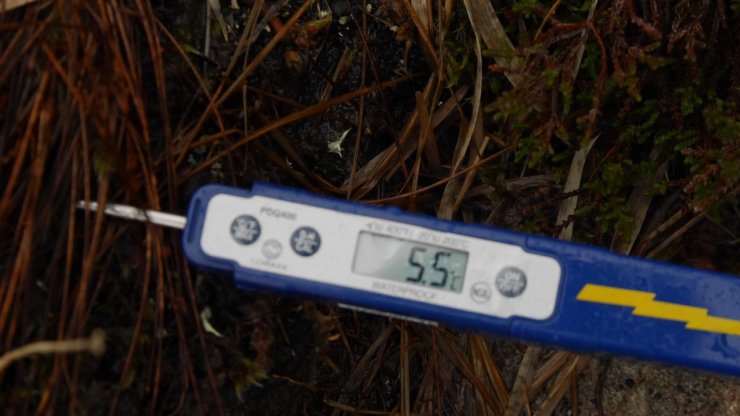
Thermometers were deployed into the peaty earth to gather some data to inform our ongoing discussion. A surface reading of +5.5°C and a 10cm below the surface reading of +4.9°C. This came as a bit of surprise to both of us, who were expecting a much lower temperature. Clearly at these temperatures significant quantities of snow will need to fall and gather, in order to counter the effect of the warm ground.
Clearly this is an area that will require further research – stay tuned blog fans!
Comments on this post
Got something to say? Leave a comment


Matt Dalby
4th February 2023 7:43 pm
If warm ground becomes covered in snow this insulates it and maintains warm temperatures. The ideal scenario is to have a lot of frosts but very little snow early in the season to really cool the ground before the first big snowfalls.