Further Depletion!
24th February 2023
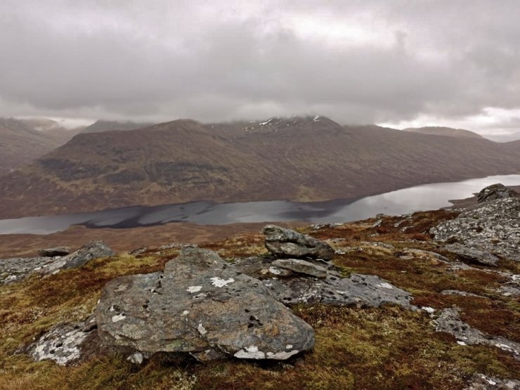
It looks like late Spring! As the cloud lifted today, it was obvious that the snow patches had continued to thaw overnight and reduced in size yet again. Currently, there is little to no snow below 650 and most patches and slivers remain above 800m on the highest summits, mainly N through E to SE aspects. With high pressure becoming established and no precipitation forecast, little change is expected.
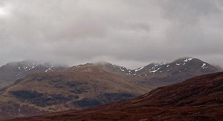
(Above) Cloud base around 700m. on Sgurr Breac, Toman Coinnich and A’ Chailleach of the western Fannaich mountains. Spot the snow!
(Above) Similar picture on Meall a’ Chrasgaidh and Sgurr nan Clach Geala.
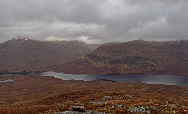
(Above) Of course the cloud lifted on the way out… Cloud base around 850m.
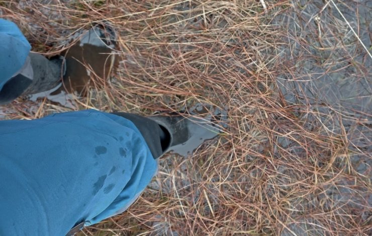
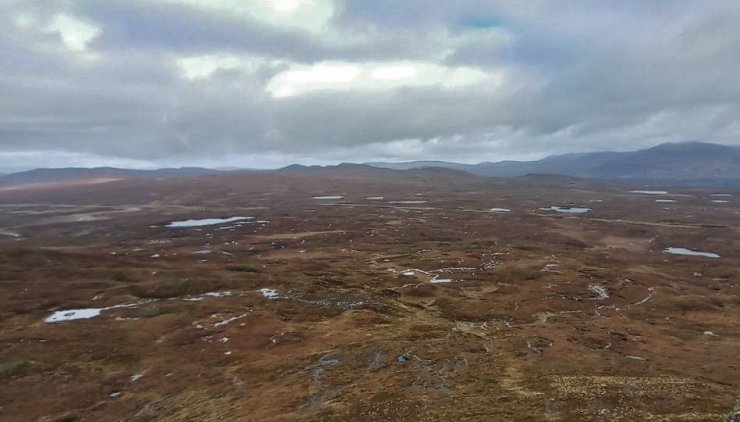
(Above 2 photos) Boglands around the Fain. It has been unseasonably wet and generally frost free in the North West Highlands this winter (and that’s saying something), so the ground is soft, ‘warm’ and saturated. Is this the new norm?
Comments on this post
Got something to say? Leave a comment


