Snow Showers
13th January 2023
There is a covering of new snow on all aspects generally above 650m. No snow below 500m so there is a well defined snowline. A miserable morning brightened up by midday and the snow showers became more isolated. With fluctuating freezing levels, changeable wind directions and varying amounts of new snow fall, windslab is forming in a variety of aspects and terrain features, but generally at higher elevations.
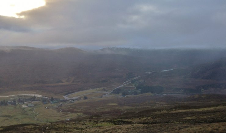
(Above) Sheets of rain drifting over Achnasheen this morning. Photo taken just below cloud base.
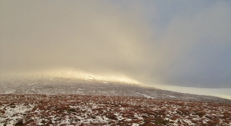
(Above) Thawing and very wet fresh snow at 550m. on the way up Fionn Beinn.
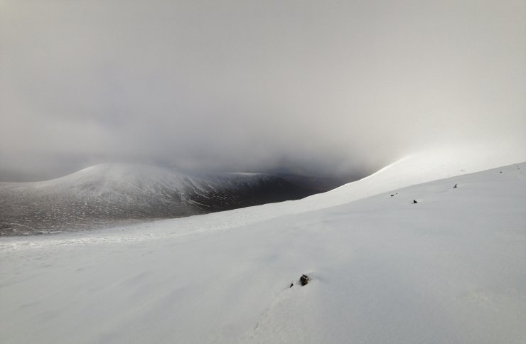
(Above) Good snow cover at 700m. south aspects on Creagan nan Laogh on the northern flank of Fionn Bheinn.
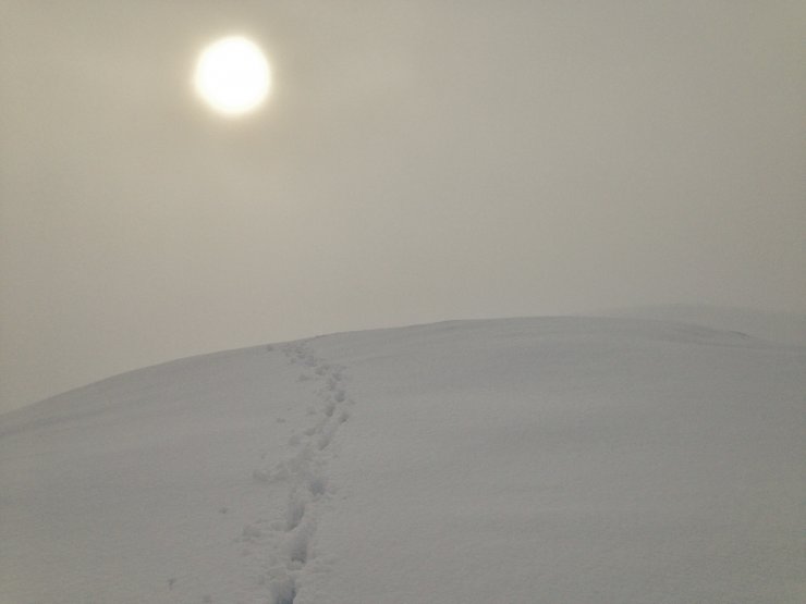
(Above) Brighter spells and a higher cloud base developed through the afternoon.
Comments on this post
Got something to say? Leave a comment


