Red Sky in the Morning…..
5th January 2023
After a bright start, the first band of rain, preceded by snow on the higher summits, arrived by mid to late morning and accompanied by strengthening SE winds. There is a surface crust to the snowpack, which is firm enough to be weight bearing in most locations above around 500m.
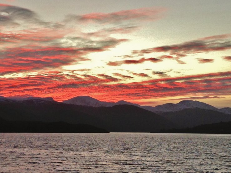
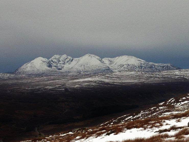
(Above) …. Shepherd’s warning! Looking up Loch Broom to (L – R); Meall nan Ceapraichean (977m), Beinn Dearg (1084m), Iorguill (872m) and Beinn Enaiglair.
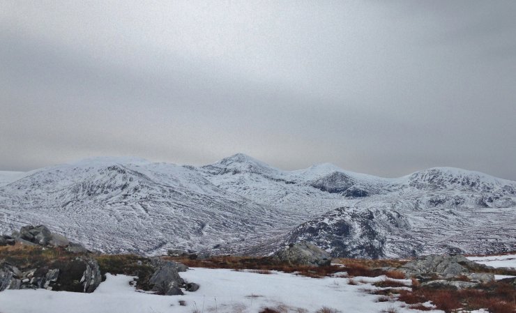
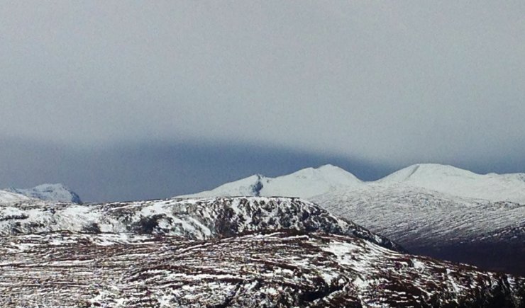
(Above) The SE to SW aspects of (R – L); Beinn Dearg, Iorguill and Beinn Enaiglair.
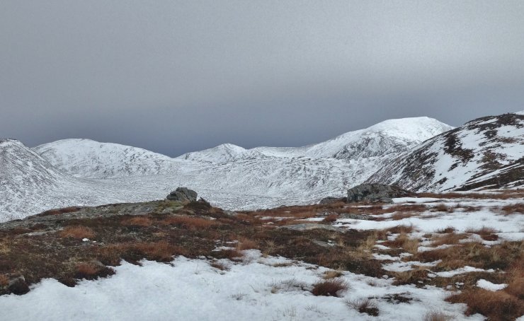
(Above) Thickening cloud from the SW behind the Fannaich mountains of (L-R); Beinn Liath Mhor Fannaich (954m), Sgurr Mor (1110m), Carn na Criche (961m) and Meall a’ Chrasgaidh (934m). Although the general snow cover is relatively shallow, good snow cover remains above 800m.
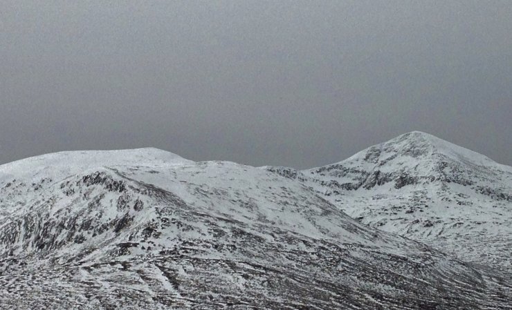
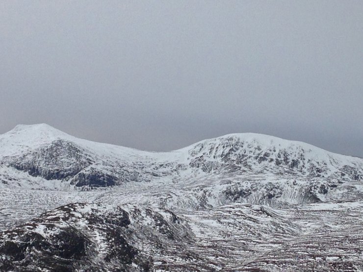
(Above 2 photos) Close-ups of the Fannaichs. Streaks of ice are visible on Creag Carn na Criche (above photo top left), although a bit thin looking!
(Above) An Teallach.
(Above) Left to right; Slioch (980m), Mullach Coire Mhic Fhearchair (1019m) and Sgurr Ban (989m) of the ‘Great Wilderness’ mountains. All these mountains are part of our wider forecast area.
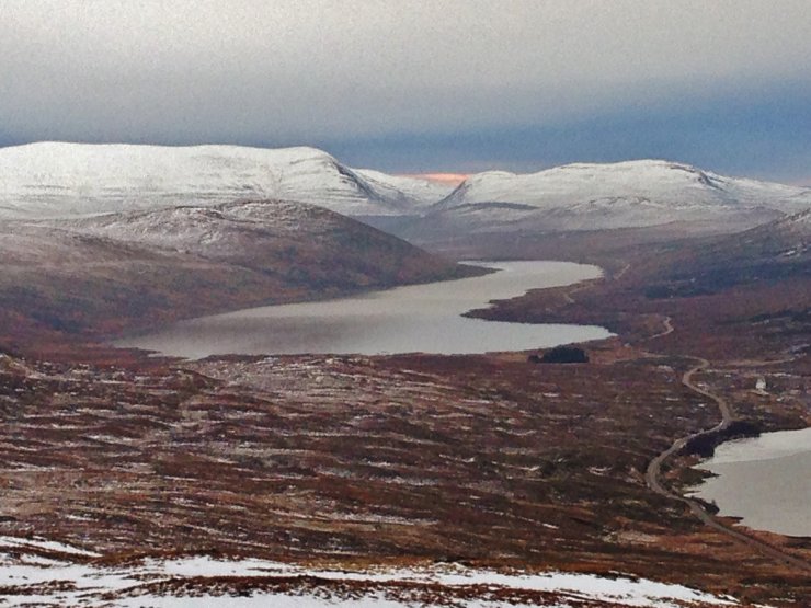
(Above) The last of the brightness behind Ben Wyvis (1046m) to the east.
Comments on this post
Got something to say? Leave a comment


