Fresh snow high up
11th January 2023
Showers were rain at glen level today but turned to snow above about 700 metres. Higher up there was significant drifting with the strong South-Westerly winds. Windslab was beginning to form in sheltered areas such as around coire rims and gullies. Windslab will continue to develop tomorrow with moderate South-Easterly winds and further snow showers. Visibility was poor for taking pictures today.

Fionn Bheinn during a brief clearing. Spindrift visible in the strong South-West winds.
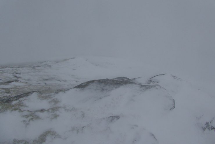
The view from my high point to day and more representative of conditions. Snow being blown from the left of the picture and being deposited in sheltered locations on the right.
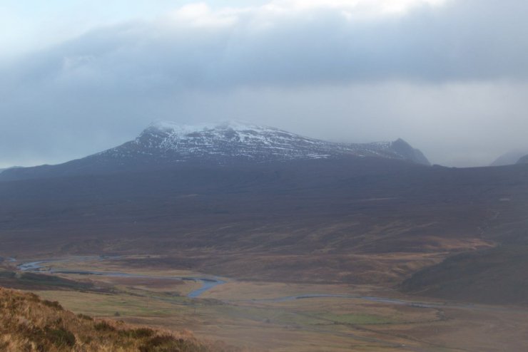
Looking across to corbetts Sgurr a Mhuilinn (879m) and Meallan nan Uan (838m).
Comments on this post
Got something to say? Leave a comment


