Warmer Southerly winds
19th December 2022
Since yesterday we have had a dramatic thaw. The snow has been melting and is now very wet. There is still good snow cover and hard trail breaking from around 350 metres upwards. This will lead to some consolidation in the snow pack. Later tonight the freezing level is forecast to lower to around 800 meters so there should be some firming up of the snow pack at higher elevations. There is snow forecast, around 1.9 inches for the Torridon hills and up to 2.75 inches further inland. It is very difficult to estimate the amount of new snow likely to fall so the above figures are estimates only. But if we get a freeze and as the new snow will be transported around in the strong winds, then unstable wind slab will develop. If this wind slab settles onto newly frozen, hard and slippy surfaces the new areas of windslab could be poorly bonded to the older snow surface. The written areas of our avalanche report cover such detail although we try not to be to nerdy about it, but we cannot stress enough, it is important to read those sections of our area reports even although our blogs (Especially the Torridon one!!!!) and compass rose are also worth focusing on.
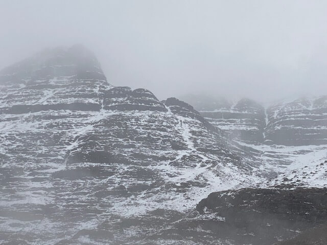
High on Liathach – it has been wind blasted and the thaw has been quite dramatic.
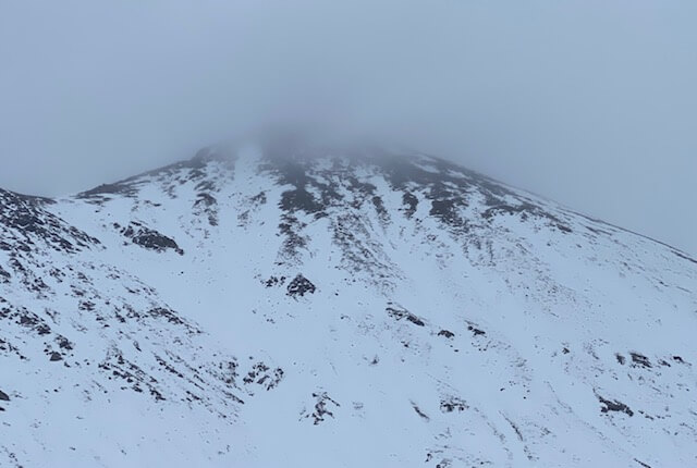
Sgour nan Fhir Duibhe.
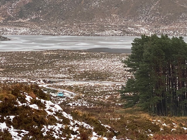
I took this photo as I returned to my car in the early afternoon… it has been quite a thaw, the streams and burns are running full!
Comments on this post
Got something to say? Leave a comment


