The Fannaichs
25th March 2022
Another fine day in the hills. Little change in the stable and generally well consolidated spring snowpack. There continues to be a slow thaw at all levels and it is becoming more patchy as the snow diminishes. Very little snow remains below 650m.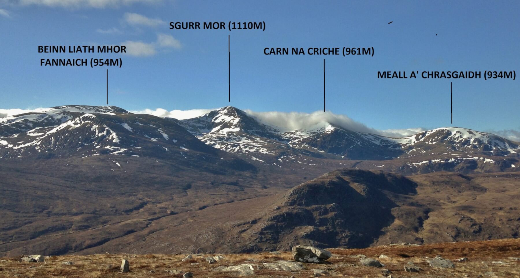 (Above) A panorama of the northerly Fannaich mountains. Summit cloud rolling in from the South-West burned off during the morning to give some great views.
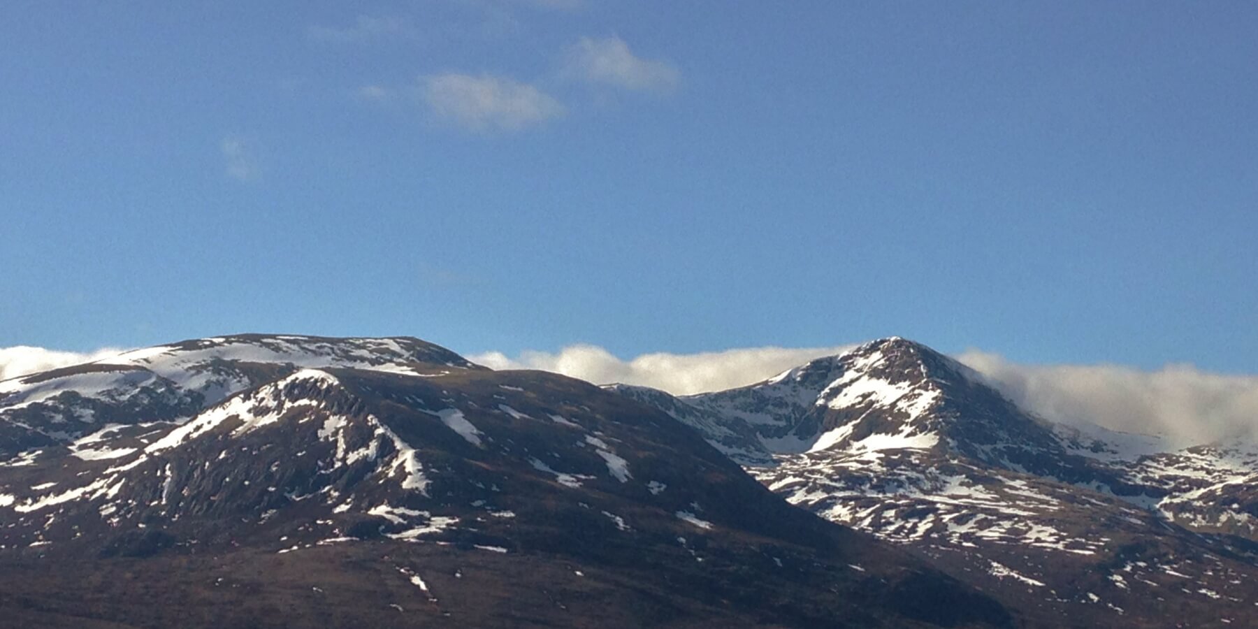 (Above) Most snow remains on North through East to South-East aspects above 800m. Although the snow surface softens through the day, it remains more firm on steep shaded North and North-West aspects, particularly around summit levels.
Comments on this post
Got something to say? Leave a comment


James
25th March 2022 6:42 pm
Brilliant posting- is colder weather inbound?
A casual Southerner fascinated by these posts here
torridonadmin
26th March 2022 1:32 pm
Hi James. Thanks for that. Yes, colder next week from midweek with a dusting of new snow on the high tops likely in the North West.