The Rear End of Franklin
21st February 2022
Storm Franklin passed un-noticed really in the North-West Highlands. It was just another cloudy, showery, windy day in the Fannaichs. However, it brightened up later in the day as the wind and showers eased. The snowpack is largely stable except for localised areas of moderately bonded windslab persisting on steep terrain, mainly above 800m on NE to SE aspects.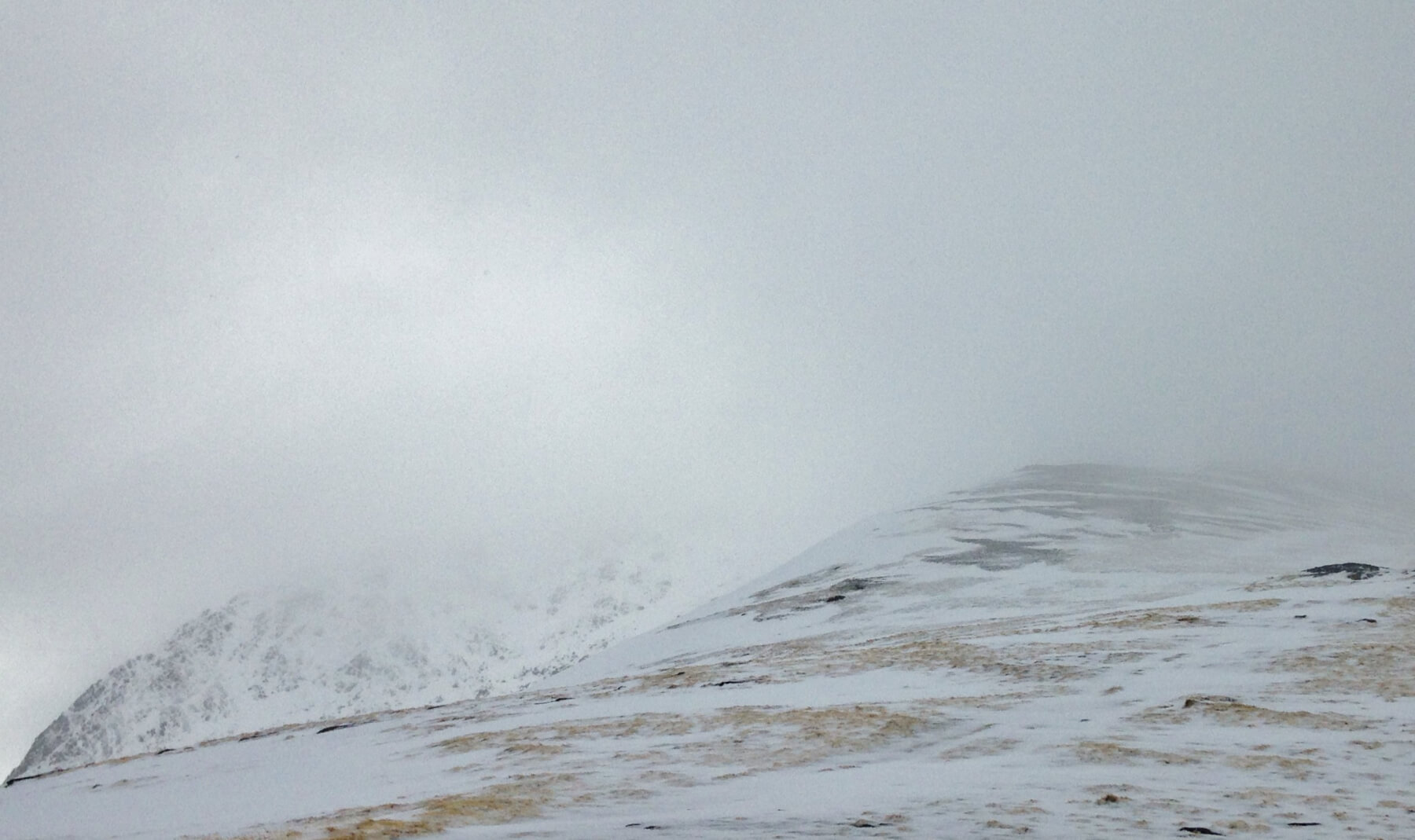 (Above) Looking up the shoulder of Druim Reidh that leads to the summit of Toman Coinnich in the Fannaichs. The summit of  Sgurr Breac is in the cloud on the left. The right side of Druim Reidh is scoured and most snow lies on the wind sheltered left side.
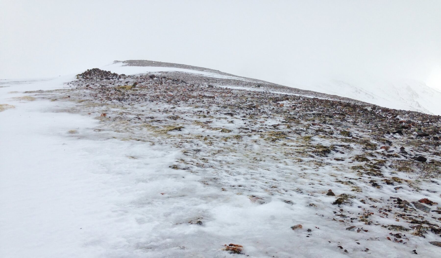 (Above) Refrozen wet snow and slush has made the scoured terrain very icy.
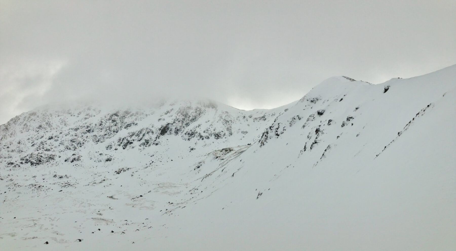 (Above) The snowy left side (East aspect) of Druim Reidh and the NW face of Sgurr Breac. This photo taken from the snow pit site at 800m. elevation where there are localised instabilities in existing windslab, affecting the steepest terrain.
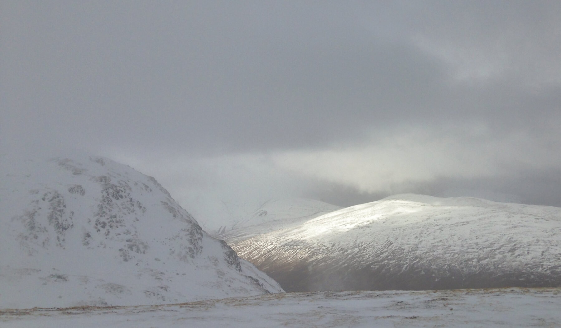 (Above) Some brightness looking past A’ Chailleach to Slioch and the mountains of the Great Wilderness. Summit cloud lingered for much of the day.
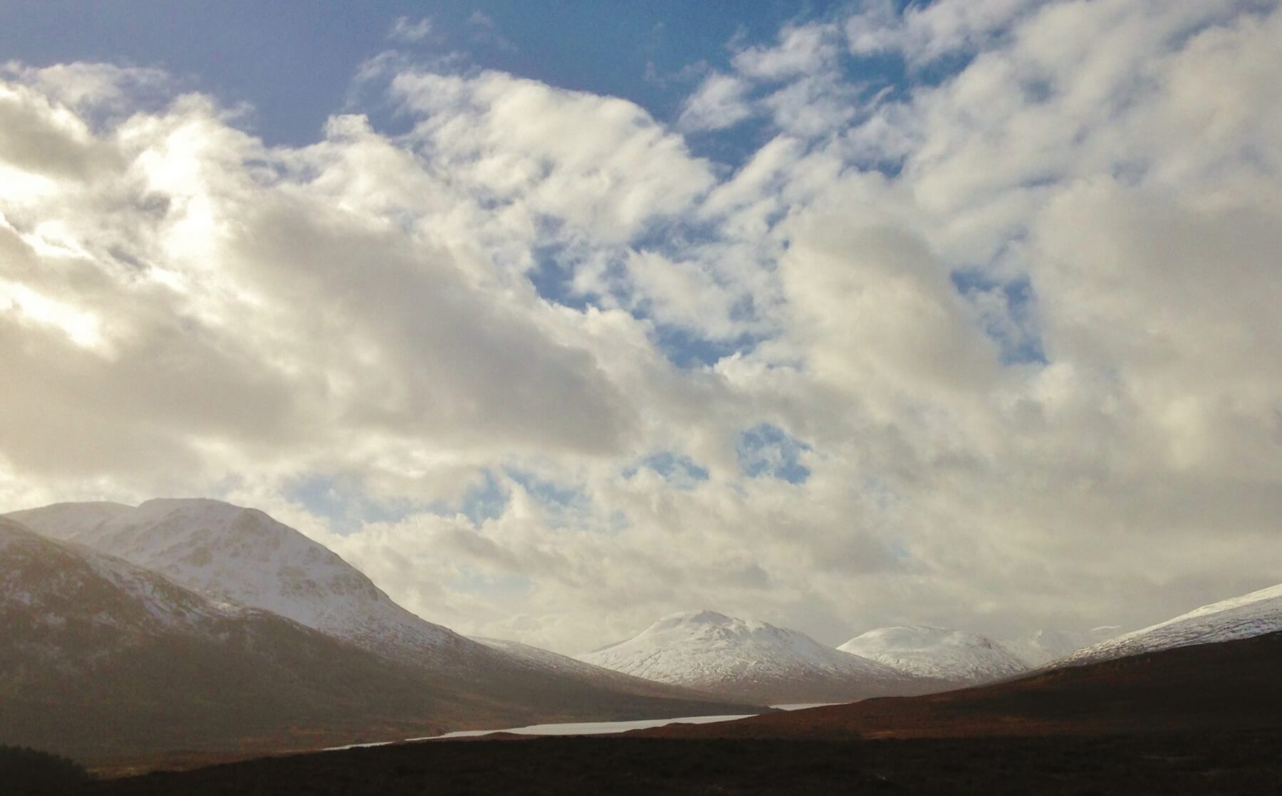 (Above) Of course it cleared early afternoon just as I got back to the car….!
Comments on this post
Got something to say? Leave a comment


