Milder Today
9th December 2021
A slowly thawing snowpack at lower elevations, but there remains good snow cover above 800 metres, albeit, shallow in most locations. Pockets of residual windslab remain at higher elevations, mainly on previously sheltered steep terrain, North to South-East aspects. Tomorrow, areas of fresh moderately well bonded windslab will accumulate in same locations as snow is expected overnight and throughout the day, mainly above 600 metres, with fresh, generally West winds.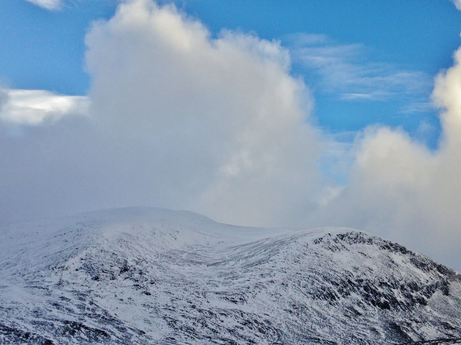 Above. By late morning, cloud breaks appeared between drizzly showers, revealing the extent of the snow cover on Beinn Liath Mhor Fannaich (954m) and on the right, its north top (830m).
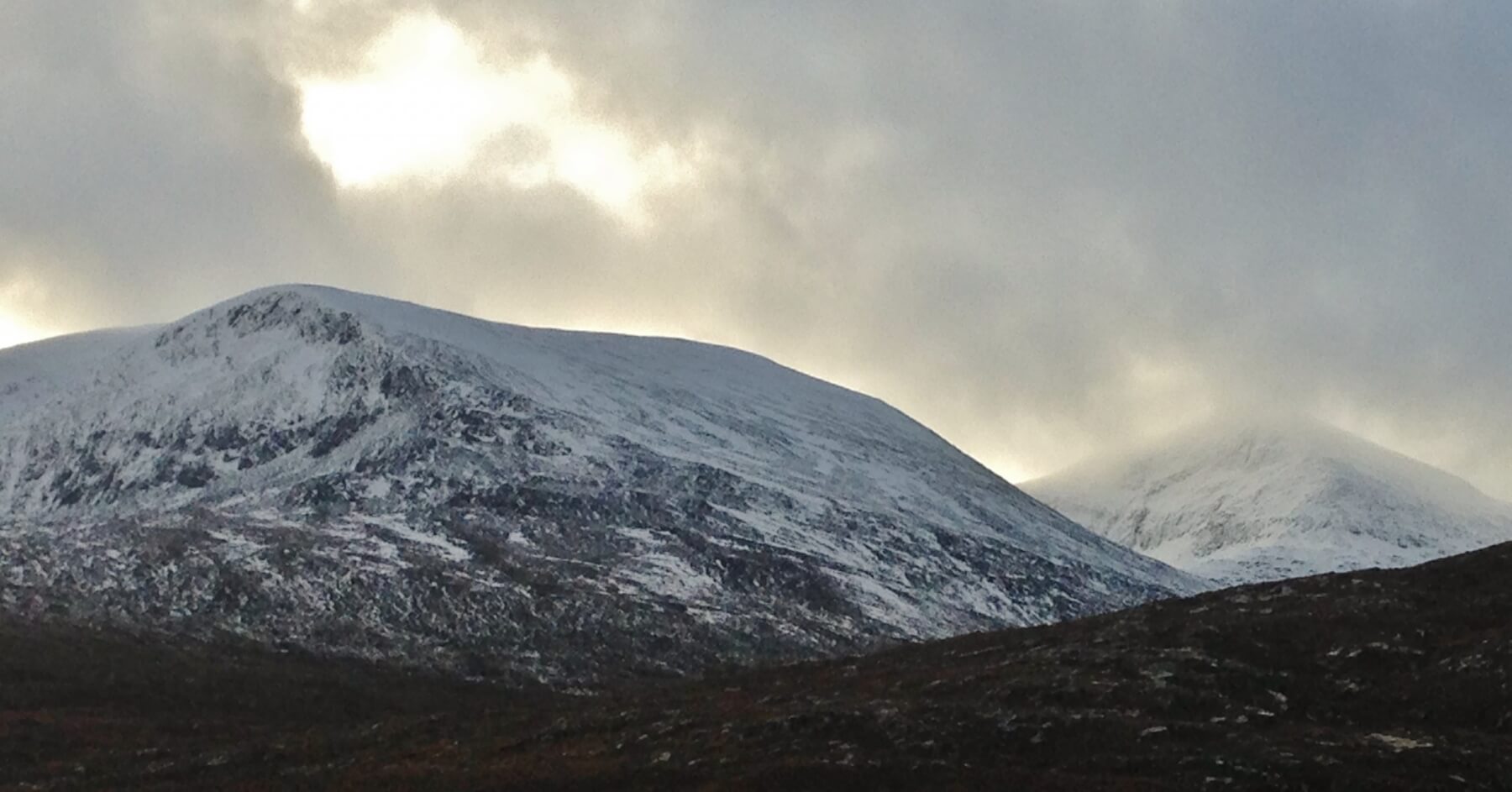 Above. Beinn Liath Mhor Fannaich on the left and the NE face of Sgurr Mor (1110m). Although the general snowpack is quite shallow with deeper drifts in places, the NE face is typical of steep locations where pockets of windslab persist and mainly above 800m.
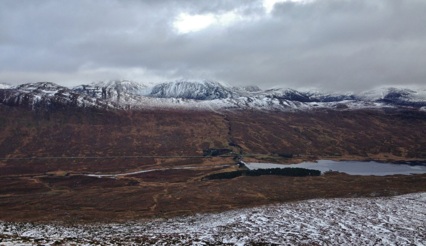 Above. There is less snow overall on Southerly aspects. Cloud base around 750m looking north onto the Beinn Dearg range.
Comments on this post
Got something to say? Leave a comment


