Slow Thaw and Consolidation
14th April 2021
Covid -19
The Scottish Avalanche Information Service issues information to support permitted activity under current Scottish Government guidance.
Please be aware of current mandatory travel restrictions in Local Authority areas within Scotland and respect local communities by referring to Scottish Government guidance and safe route choices for exercise. For further guidance please refer to the following information for hillwalkers and climbers and snowsports on ski and board.
This blog is intended to provide hazard and mountain condition information to help plan safer mountain trips.
Little change in the snowpack from yesterday. Slowly thawing at all levels today (as evidenced by the ‘black’ looking buttresses) and generally stable throughout. Minor localised instabilities continue to persist where the recent snow cover gains depth on very steep terrain at higher elevations, mostly NE to SE aspects.
 (Above) A panorama of the main Fannaich mountains – from left to right; north top of Beinn Liath Mhor Fannaich (820m.), Sgurr Mor (1110m.) in the cloud, Carn na Criche (961m.) above the dark triangular buttress, and Meall a’ Chrasgaidh (934m.).
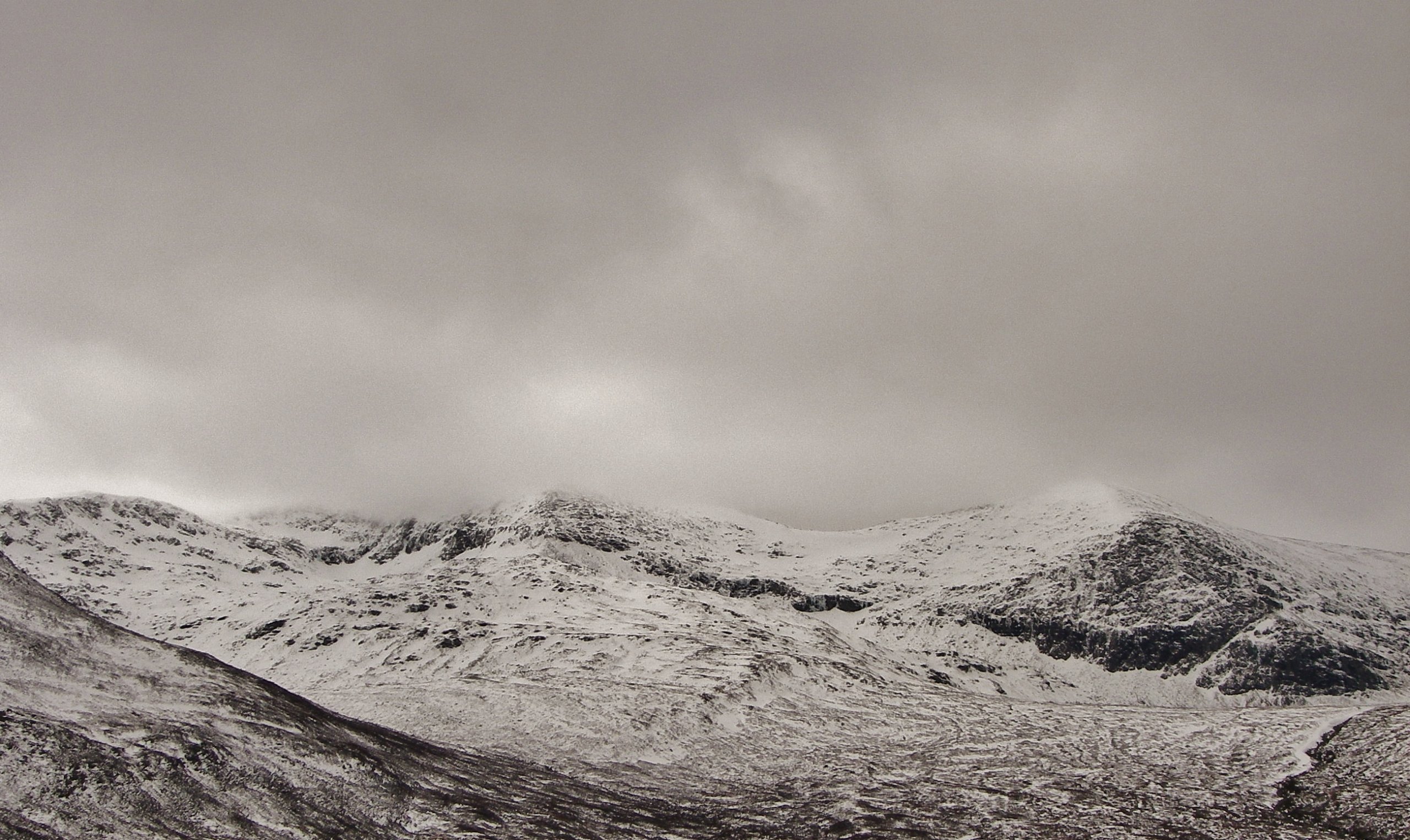 (Above) Summit cloud lingered through the morning at around 900m., but it brightened up by midday. The snow cover is shallow with most snow round coire rims, on ridge flanks and in gullies.
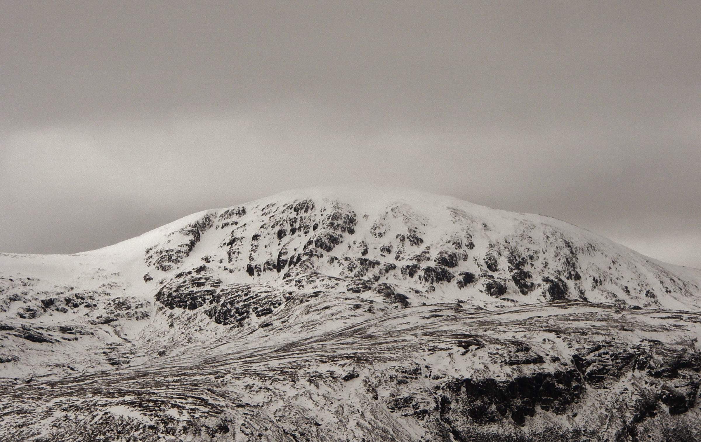 (Above) The east side of Meall a’ Chrasgaidh which was the sheltered lee aspect during the most recent snow falls.
Comments on this post
Got something to say? Leave a comment


