Frequent Wintry Showers
22nd January 2021
Covid -19
The Scottish Avalanche Information Service issues information to support permitted activity under current Scottish Government guidance.
Please be aware of current mandatory travel restrictions in Local Authority areas within Scotland and respect local communities by referring to Scottish Government guidance and safe route choices for exercise. For further guidance please refer to the following information for hillwalkers and climbers and snowsports on ski and board.
This blog is intended to provide hazard and mountain condition information to help plan safer mountain trips.
A cold day today with blustery wintry showers, generally from the North-West and mainly falling as graupel. There are significant areas of fresh windslab that have formed and continues to form on NE through SE to SW aspects in wind sheltered locations as low as 500m altitude.
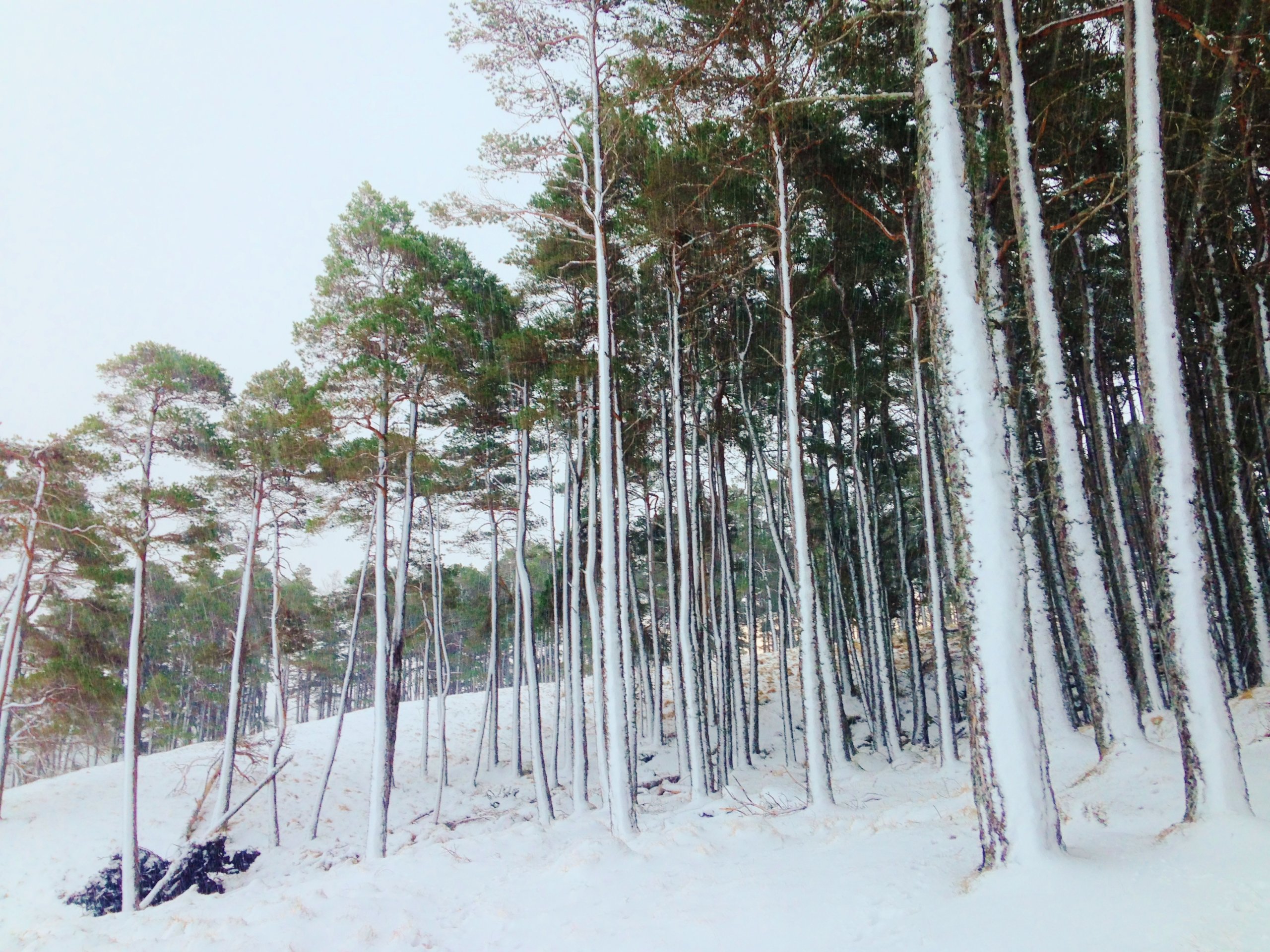
(Above) Snow blasted onto the windward facing (North-West) of a Scots pine wood at around 300m elevation. In this case the snow would have been damp enough to adhere to the trees.
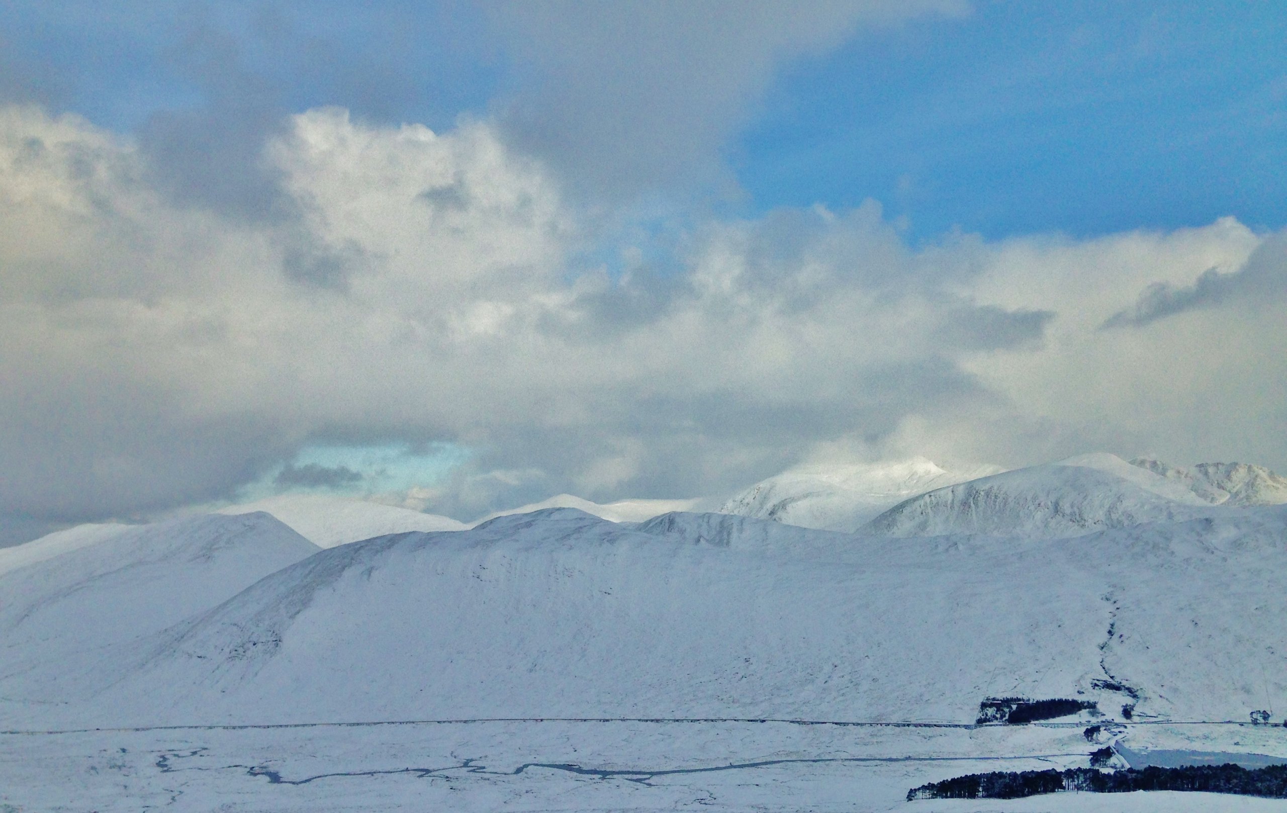
(Above) A windblown winter mountain landscape. There are obvious exposed windward areas that have been scoured and lee areas of snow deposition where windslab is accumulating. Fresh snow is lying above 200m today.

(Above) Most wintry showers were of Graupel; rounded snow pellets up to 4mm in size.
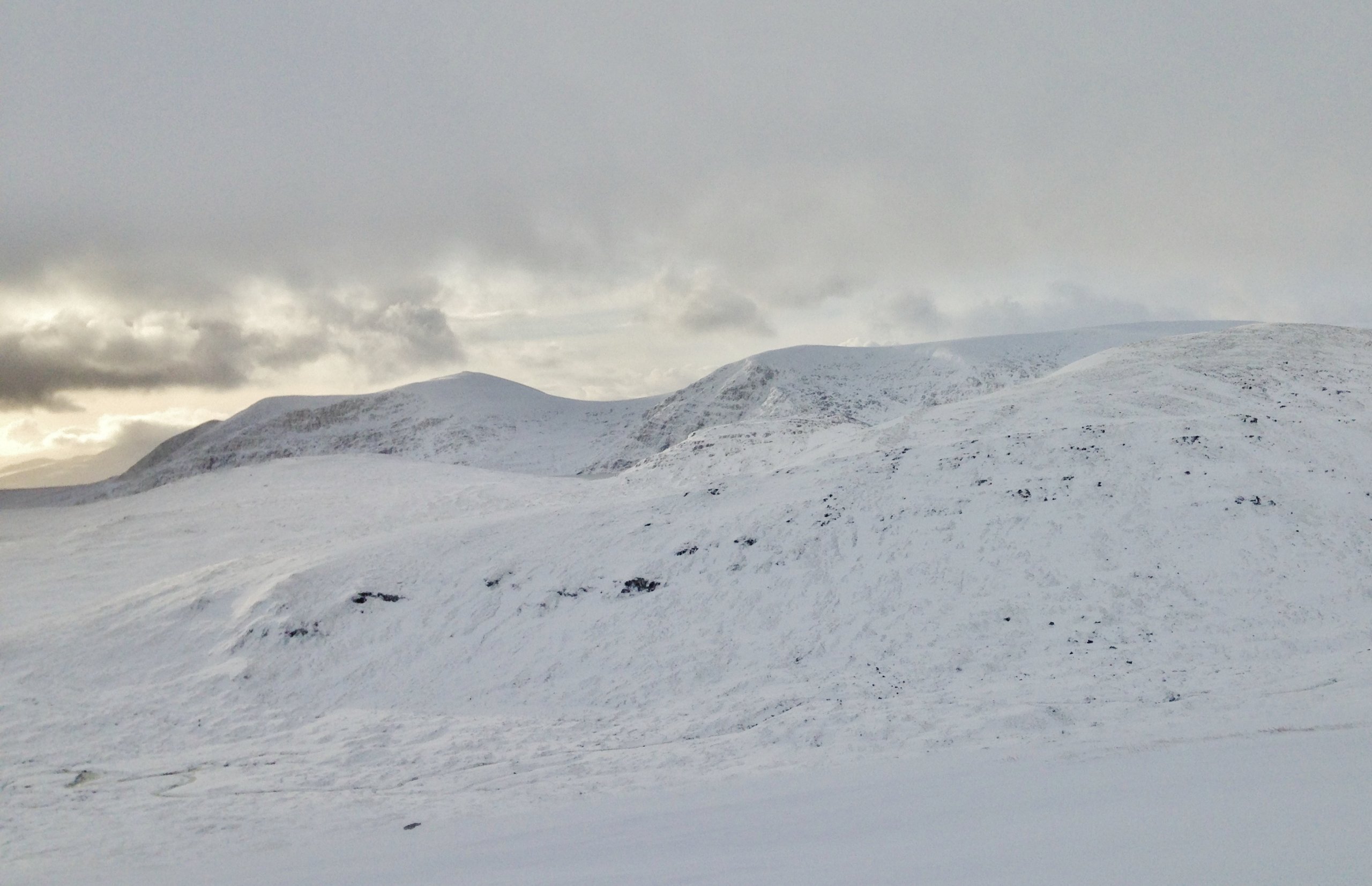
(Above) Looking across to the Munro of An Coileachan located at the most northern and eastern edge of the Torridon forecast area.
Comments on this post
Got something to say? Leave a comment


