Approaching Weather Front
13th January 2021
Covid -19
The Scottish Avalanche Information Service issues information to support permitted activity under current Scottish Government guidance.
Please be aware of current mandatory travel restrictions in Local Authority areas within Scotland and respect local communities by referring to Scottish Government guidance and safe route choices for exercise. For further guidance please refer to the following information for hillwalkers and climbers and snowsports on ski and board.
This blog is intended to provide hazard and mountain condition information to help plan safer mountain trips.
After a red sky sunrise, high cloud thickened and lowered ahead of an occluded weather front slowly moving in from the South-West. Summit snow arrived in Torridon around early afternoon and later in the north of our area. The general snowpack is refrozen and stable throughout. Some shallow areas of windslab exists mainly at higher elevations with an East to South aspect.
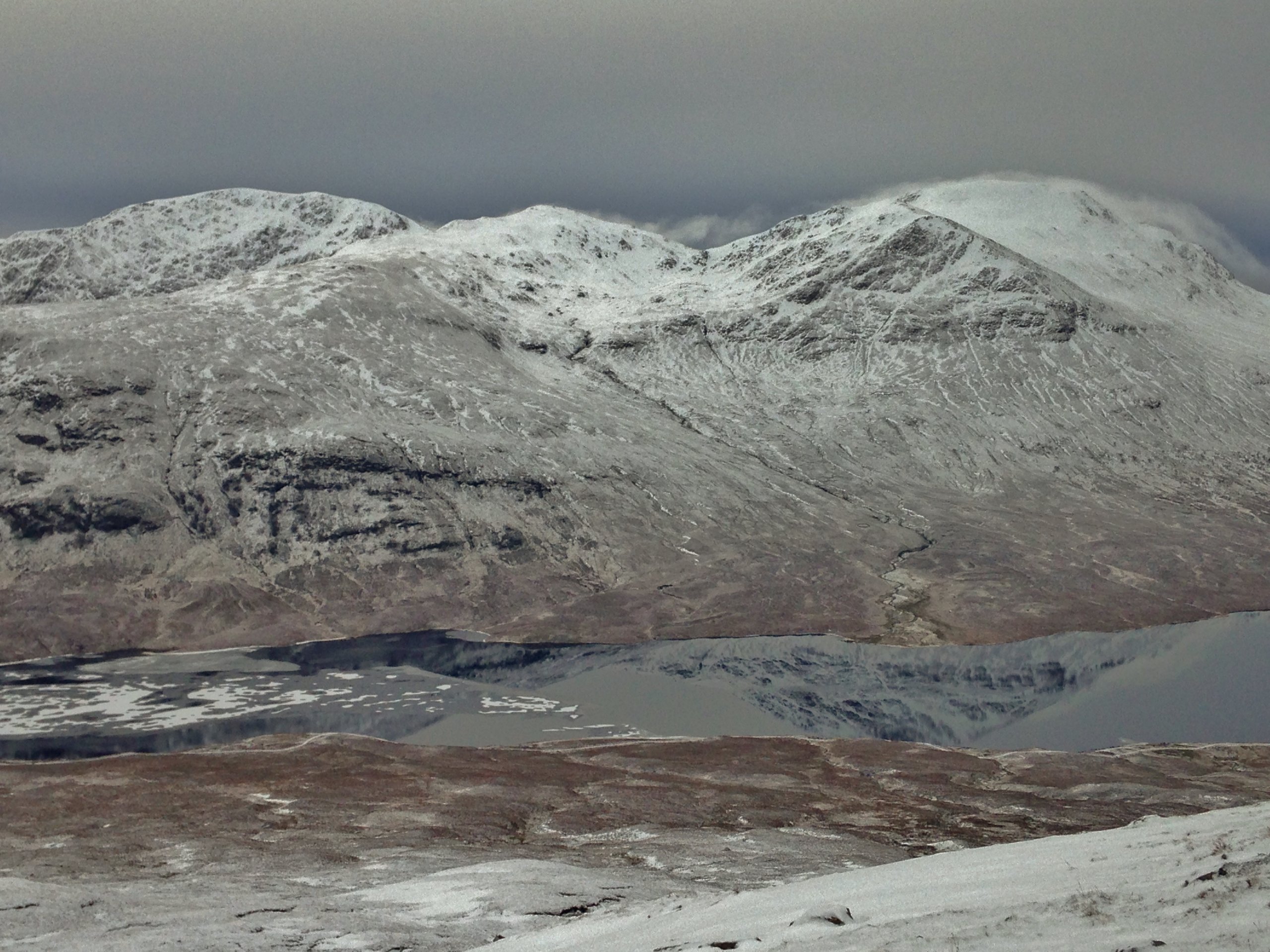
(Above) Fannaich mountains. A typical landscape of a refrozen snowpack following a significant thaw. Most snow exists above 600m. There is a thin covering of fresh snow.
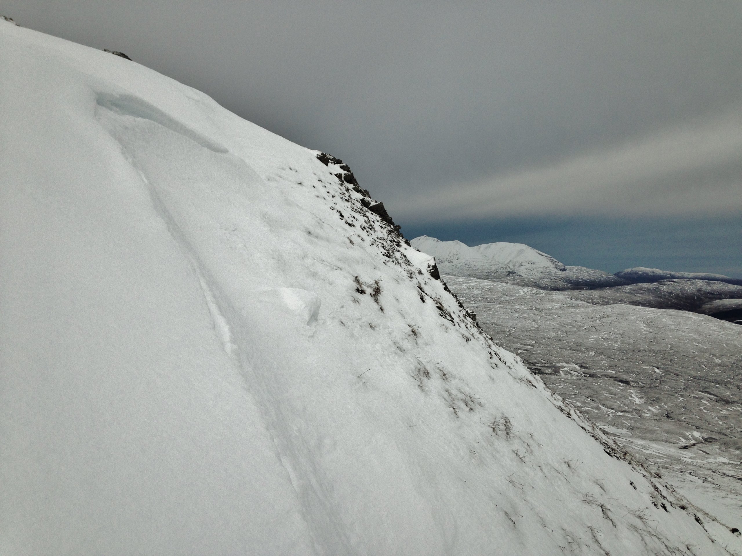
(Above) Large or unstable cornices collapsed during the recent thaw and heavy rain. Most remaining cornices are rounded off and refrozen.

(Above) Dark and thickening cloud approaching the Torridon hills from the South-West along with strengthening South-East winds.

(Above) Red sky in the morning……! Looking up Loch Broom from Ullapool onto the Beinn Dearg hills.
Comments on this post
Got something to say? Leave a comment


Allan Crawford
13th January 2021 10:05 pm
Two great photos !
torridonadmin
14th January 2021 1:30 pm
Thanks Allan. We do our best..!