Snow Showers
24th December 2020
Covid -19
The Scottish Avalanche Information Service issues information to support permitted activity under current Scottish Government guidance. Please be aware of travel restrictions within Scotland and respect local communities by referring to Scottish Government guidance and how to participate safely by referring to Mountaineering Scotland guidance.
A very cold day with wintry showers drifting down the coast from the North-West. Severe windchill on the summits! New snow level was on the beach this morning in Ullapool, but freezing level rising to around 300m later. Weaknesses are present in very localised areas of windslab that have formed on steep sheltered slopes around the summits. There will be a period of heightened snowpack instability tomorrow as the freezing level rises above the tops accompanied by light rain.
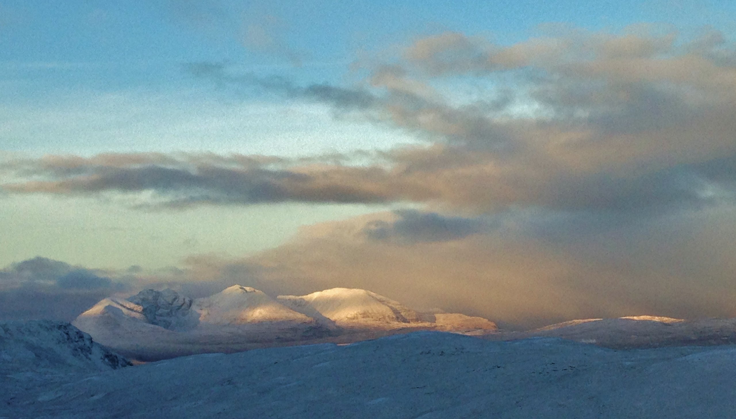
(Above) The north top of Beinn Liath Mhor Fannaich (820m) – the site for today’s observations. Thin snow cover generally.
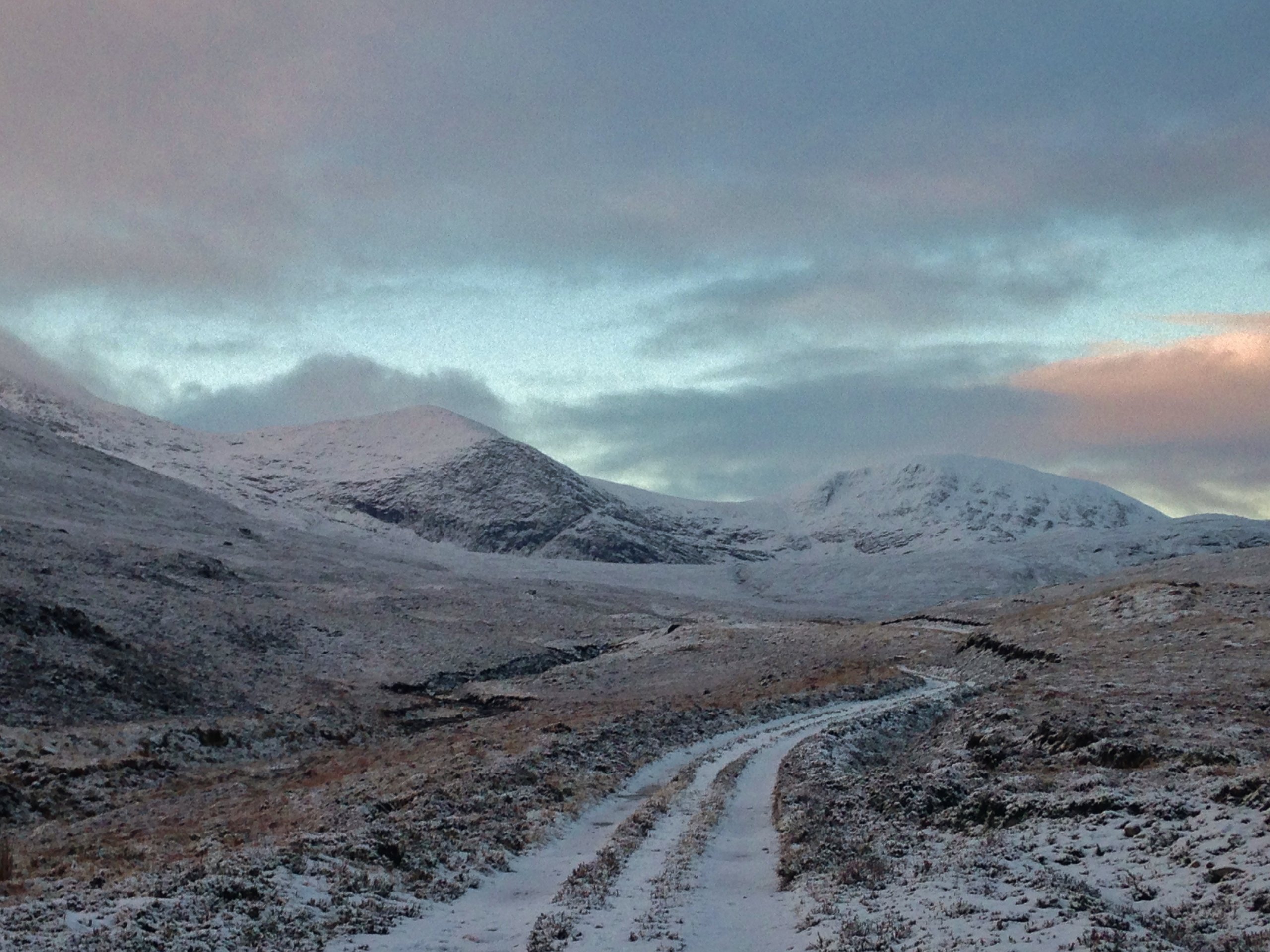
(Above) The track into the northern Fannaich mountains, with the flank of Sgurr Mor on the left, Carn na Criche (middle) and Meall a’ Chrasgaidh on the right. Some ice observed forming on the crags of Carn na Criche.
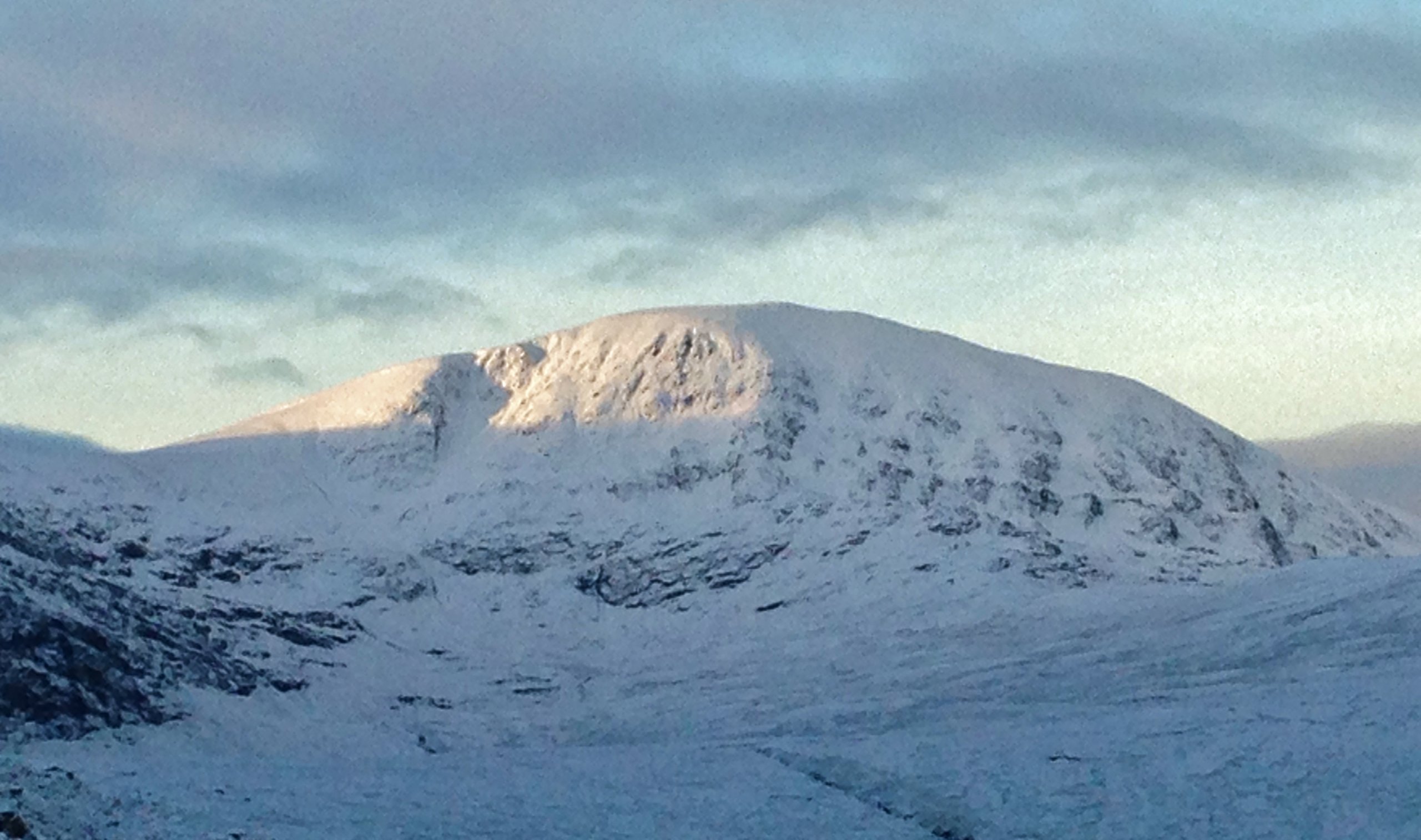
(Above) Localised areas of windslab have accumulated below the summit of Meall a’ Chrasgaidh on NE aspect. Otherwise a generally shallow snow cover. The ground below the snow remains unfrozen.
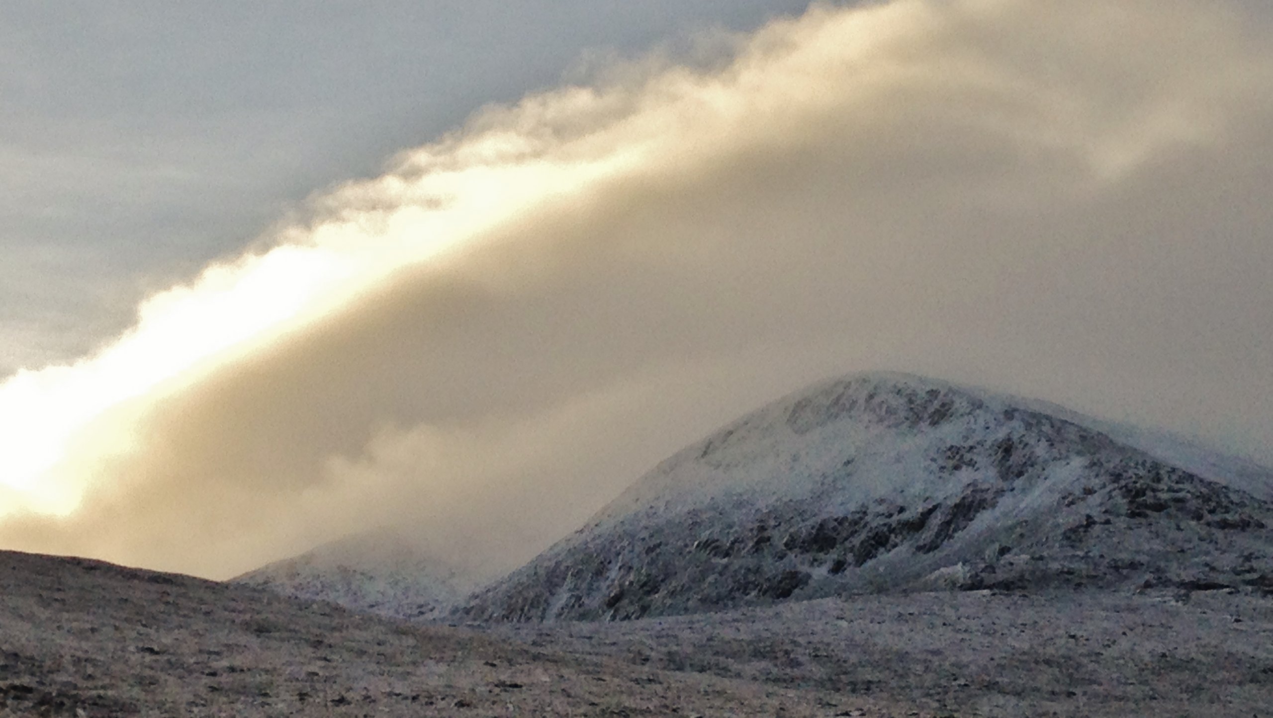
(Above) A snow shower about to drift over An Teallach. Unfortunately, it headed more inland and the Fannaichs clouded over, therefore no more pics..!
Comments on this post
Got something to say? Leave a comment


