Colder Westerly airstream
21st December 2020
Covid -19
Â
The Scottish Avalanche Information Service issues information to support permitted activity under current Scottish Government guidance. Please be aware of travel restrictions within Scotland and respect local communities by referring to Scottish Government guidance and how to participate safely by referring to Mountaineering Scotland guidance.
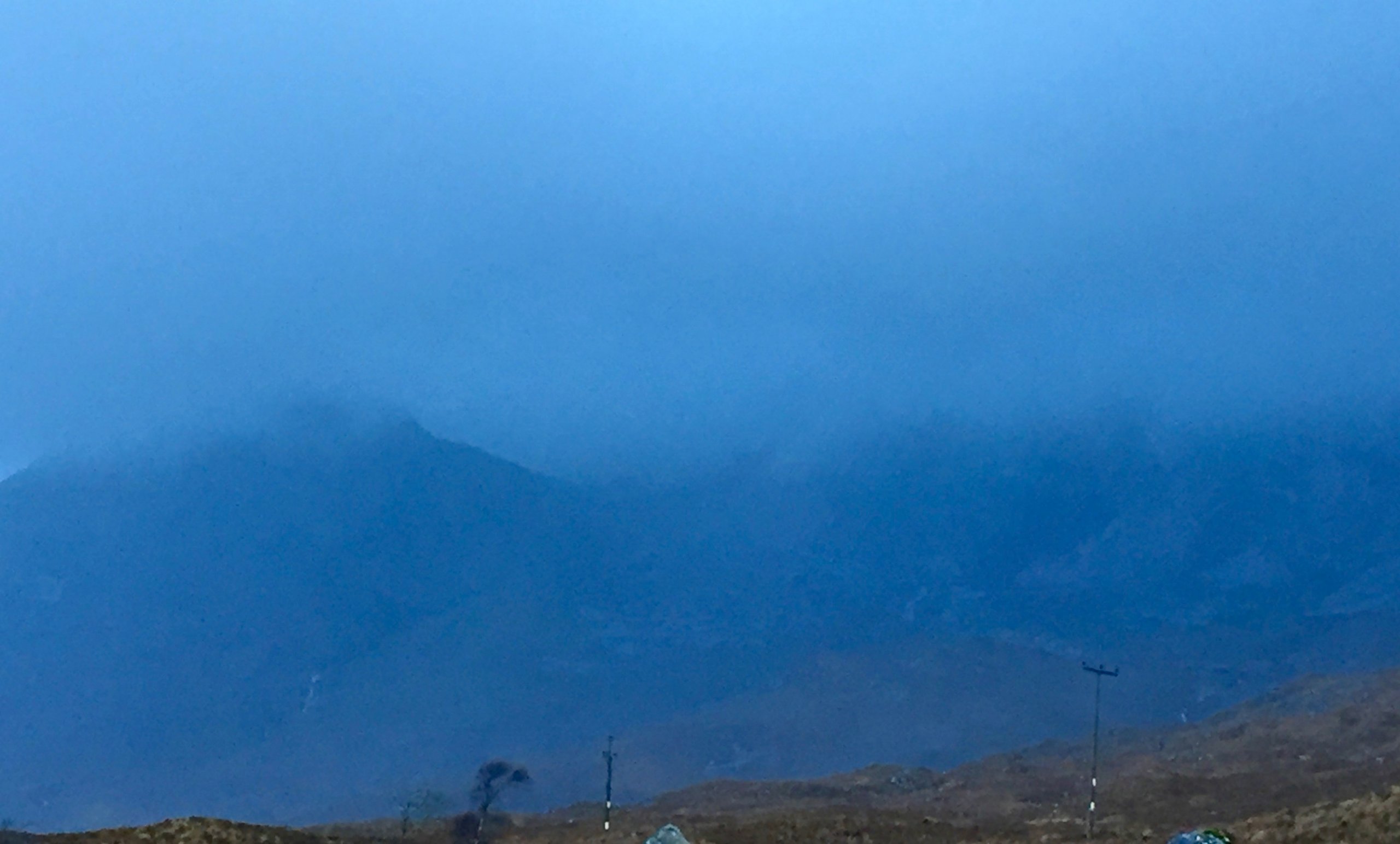
Its turning colder as the wind moves round more westerly, the freezing level has been lowering this afternoon and will settle at around 600 metres. Moderate amounts of snow is expected on higher ground with strong winds which will lead to significant snow transportation and deeper accumulations of wind slab developing. There are many areas where the snow will fall on to bare terrain. In some localised areas these accumulations will be deeper and lay on older snow and will be moderately well bonded, especially on high wind sheltered North to Easterly aspects. I was in Torridon today and there were just traces of snow visible on the highest summits but there will be more snow further inland away from the sea. According to the weather forecast the hills should look a lot whiter tomorrow!
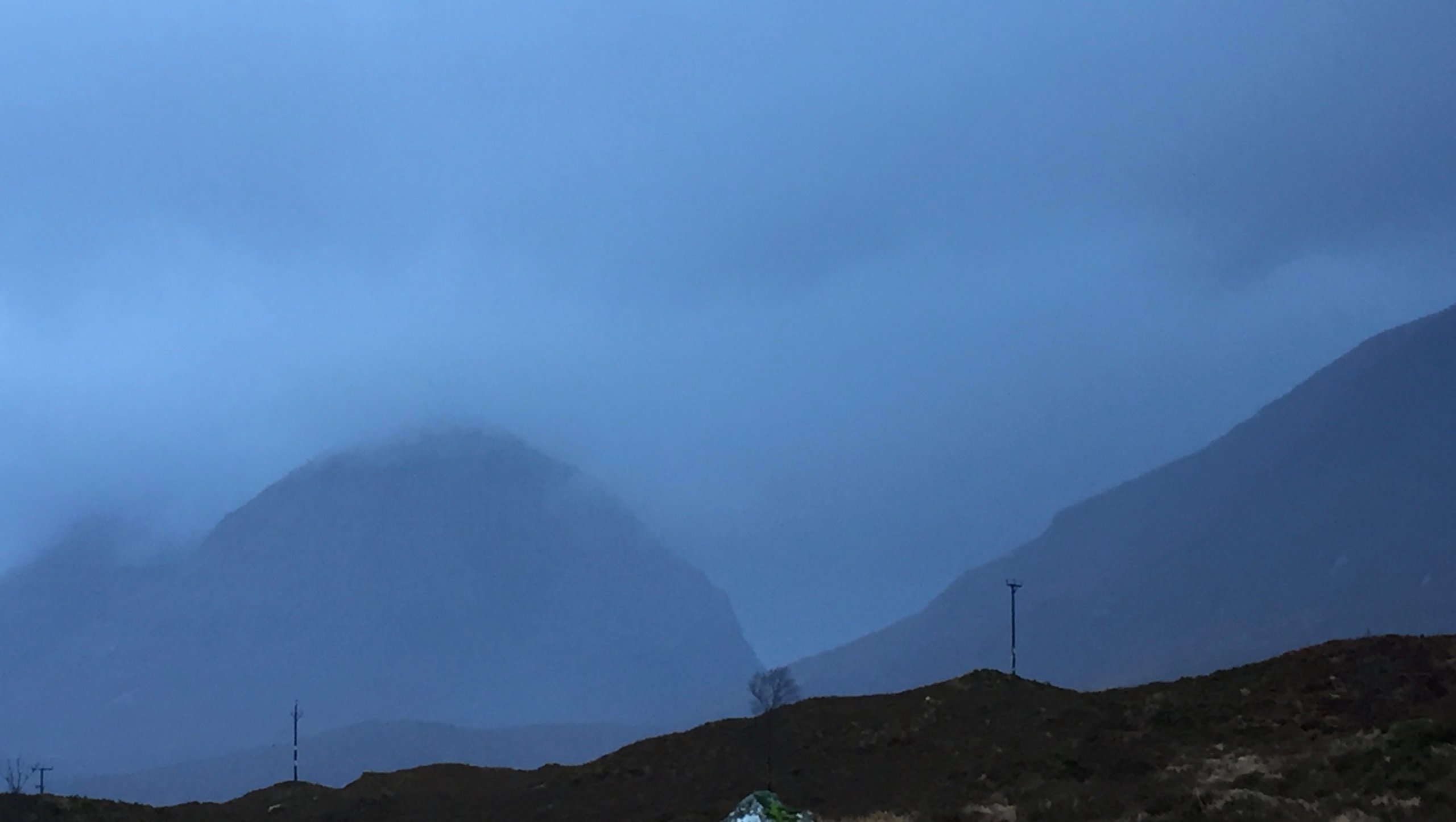
Liattach, murky and rather bare of snow this morning.
Stuc Coire an Laiogh and Spidean Coire nan Clach with just a light hint of snow on the summits. The freezing level was to lower with snow showers this afternoon.
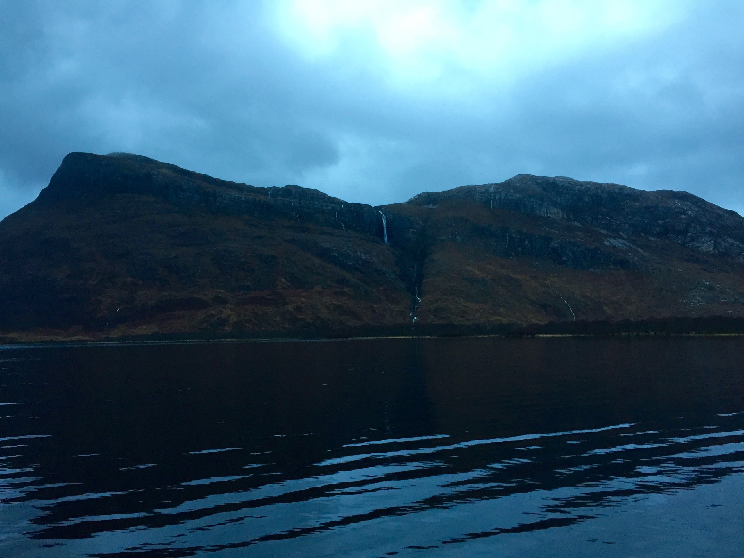
A momentary glimpse of blue ski this morning. If this fat waterfall freezes soon.. Please do remember that socially responsibility means we are not permitted to travel between tiers – or is that tears?
Comments on this post
Got something to say? Leave a comment


