Lots of Spindrift II
19th February 2020
A lovely morning deteriorated quickly by midday heralding the approach of an active warm front for the afternoon, bringing mild temps strengthening Southerly winds and rain preceded by snow. That pesky breakable crust was out-manoeuvered today by the use of snowshoes! The snow at lower levels softened in rising temps by the time I returned to the car.
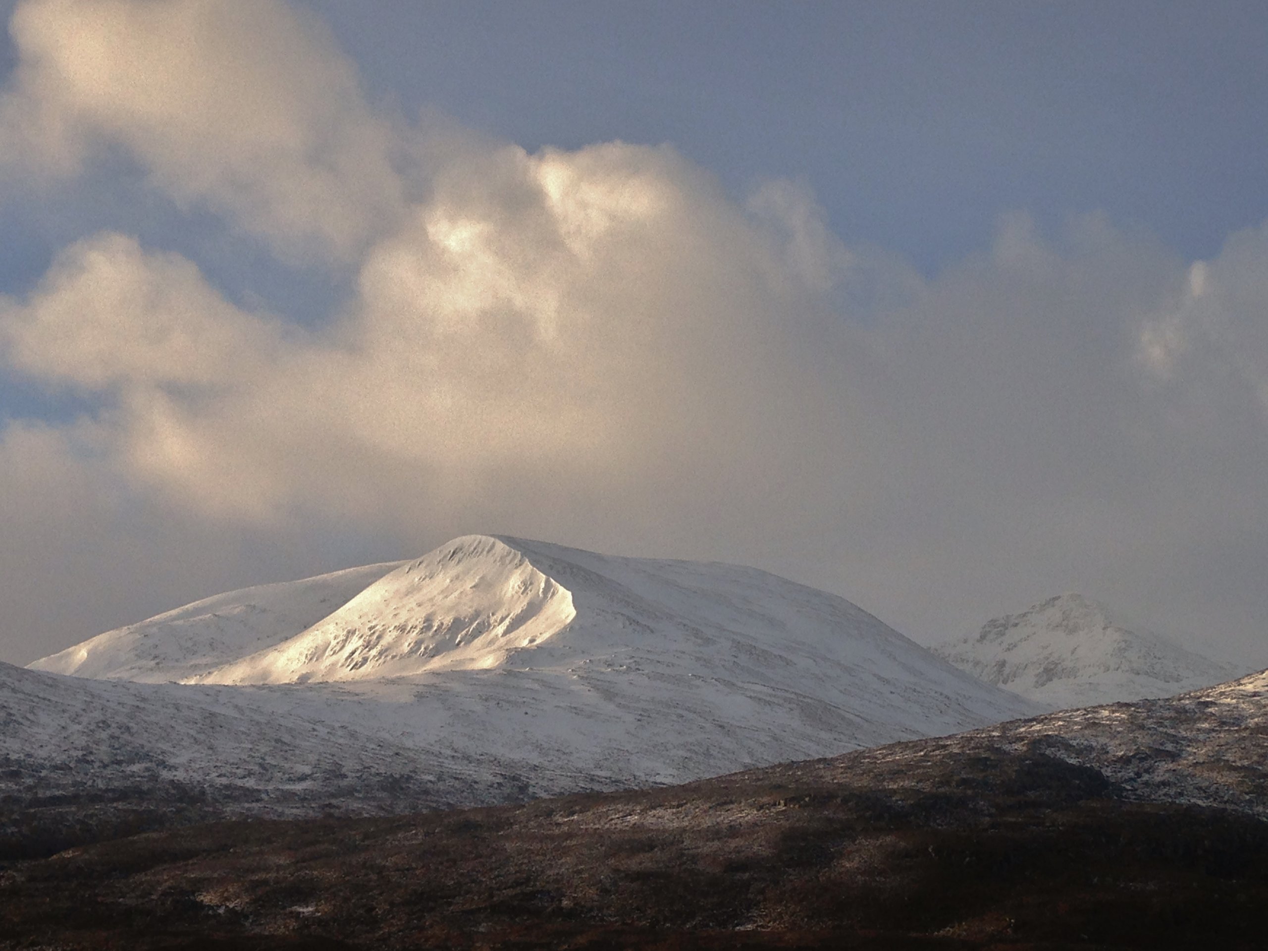
A bright morning with some sun on the north top of Beinn Liath Mhor Fannaich – the site for today’s snowpack obs. Shurr Mor on the right.
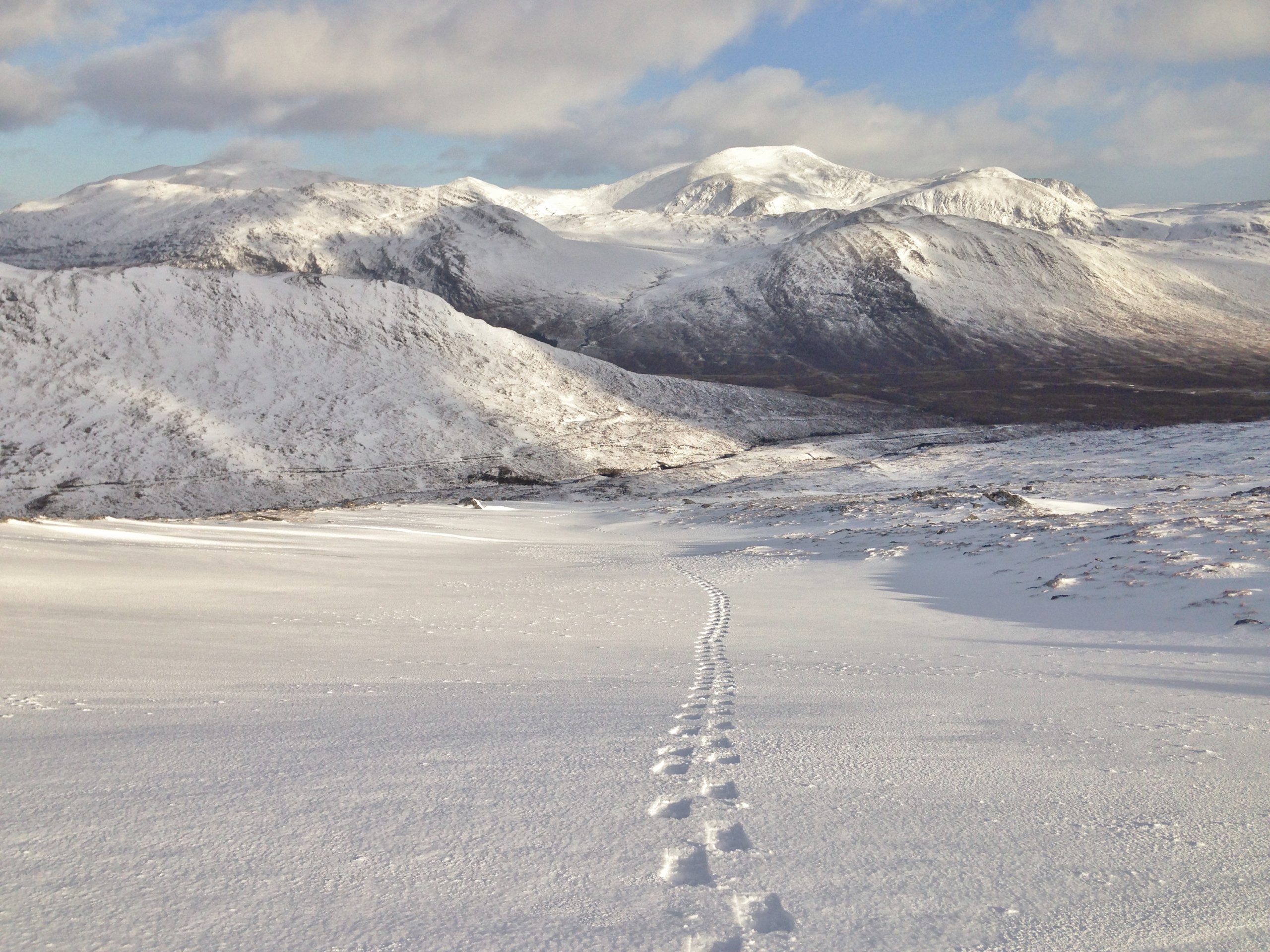
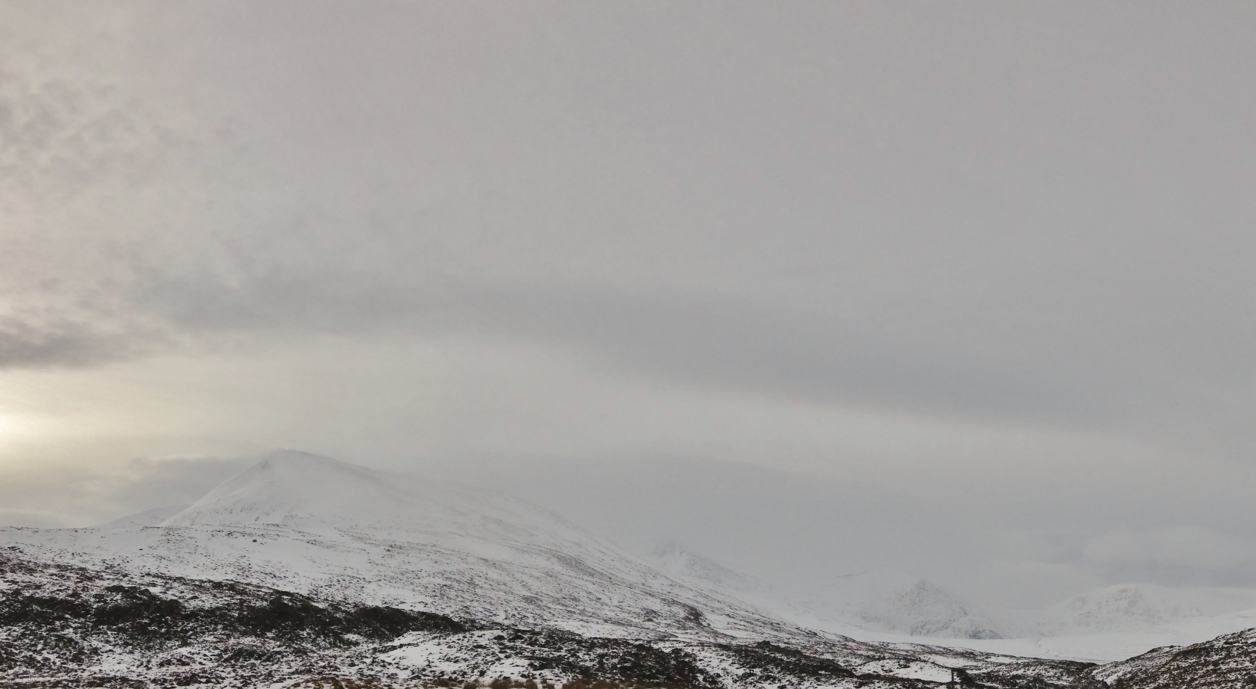
Hurrah for snowshoes! The southern aspects of the Beinn Dearg hills in the background.
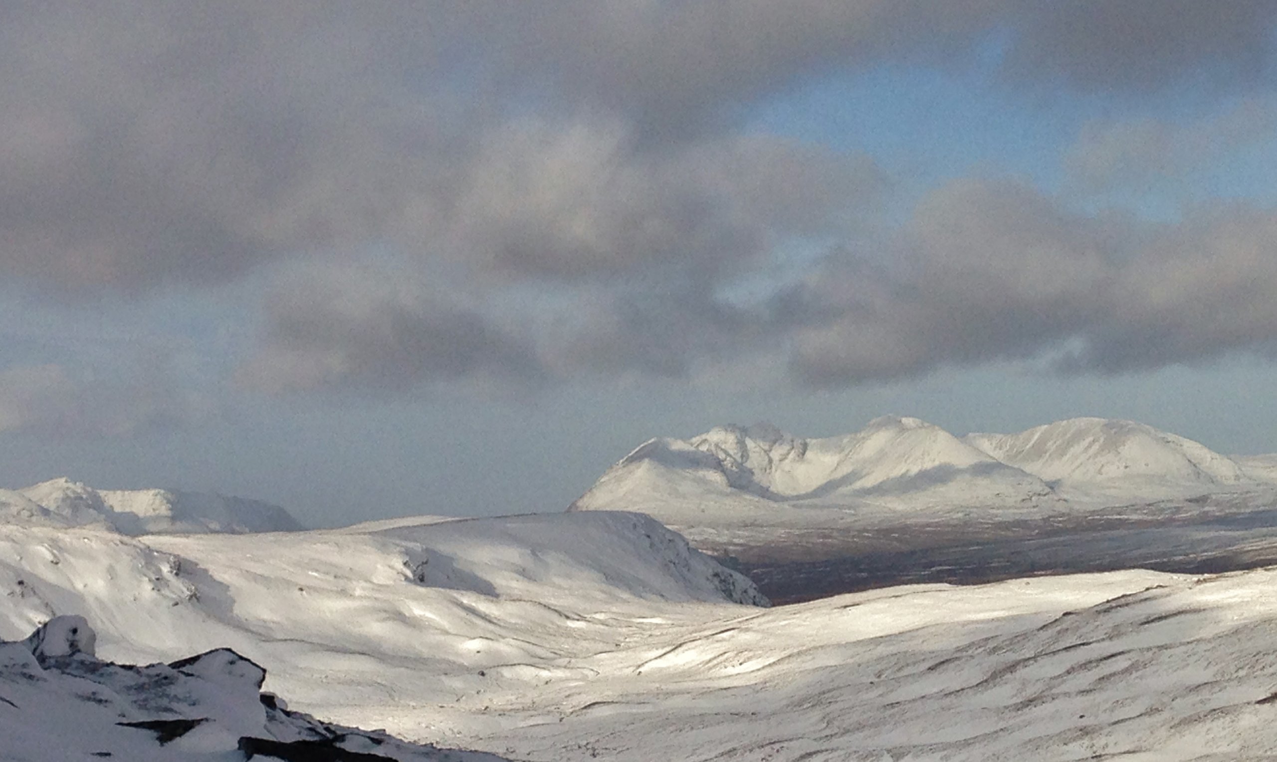
Decent snow cover on the North to East aspects of An Teallach.
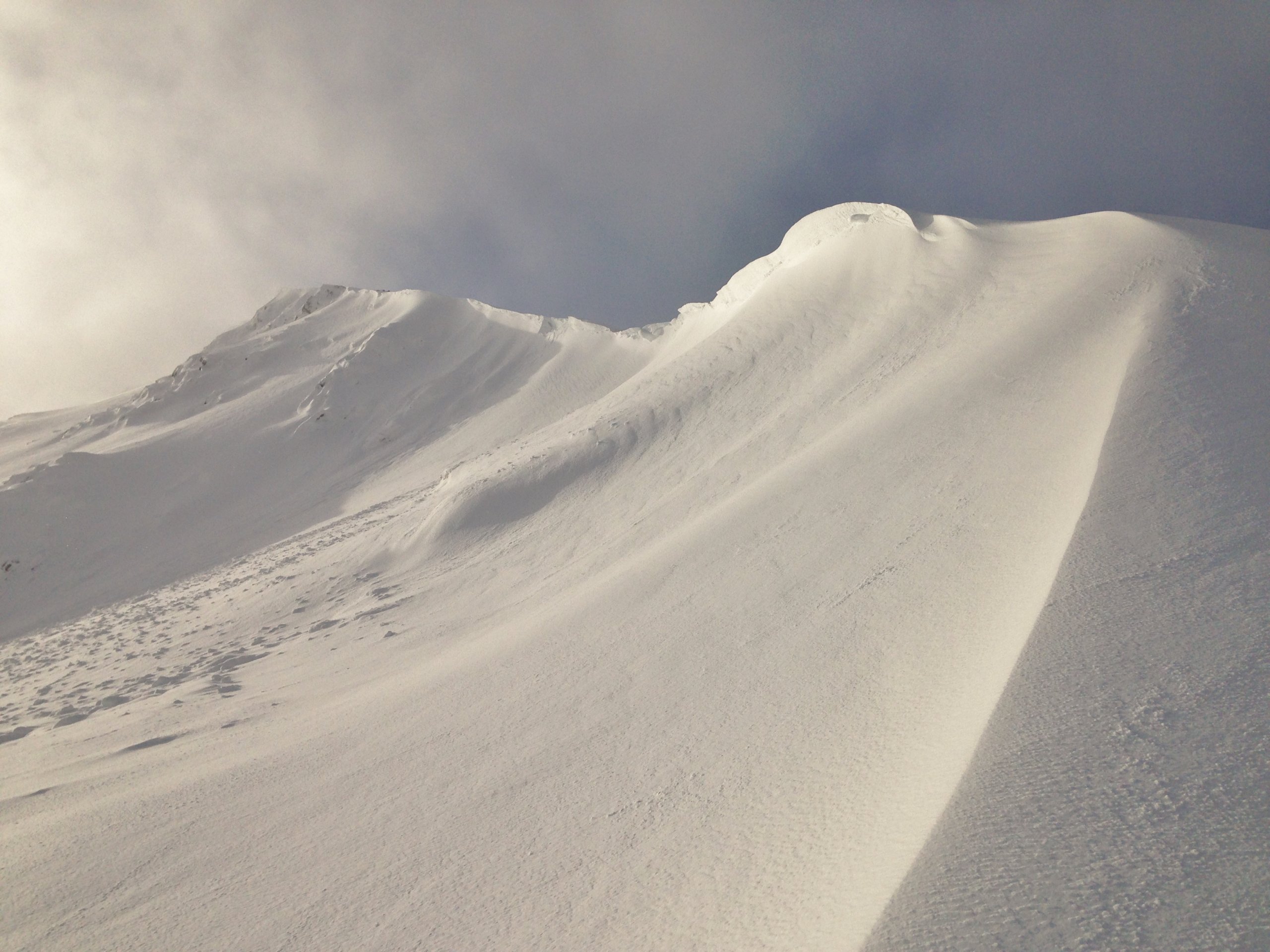
Fragile looking cornices above east aspects of the north top, Beinn Liath Mhor Fannaich. Recent cornice collapse – probably yesterday evening/overnight – has triggered small avalanches below, the release of which has been covered by subsequent snow deposition.
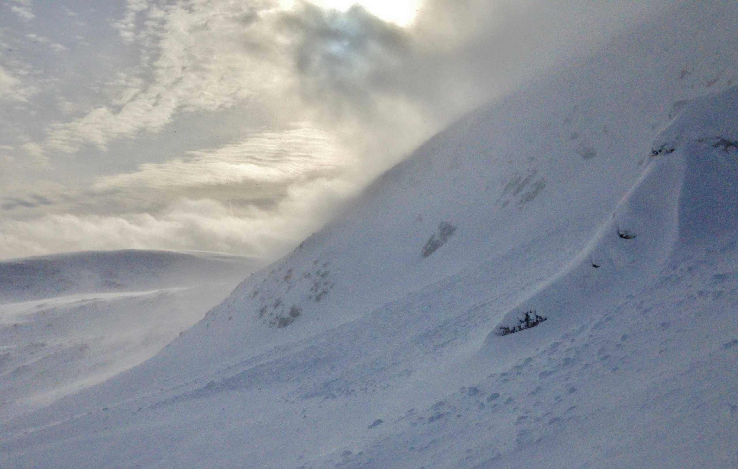
Avalanche debris at the bottom of the slope in the runout zone. The wind is strengthening and much spindrift is depositing on this slope.
Time to go home! Loose snow is being redistributed onto sheltered lee aspects Some is blown to lower levels where it is melting.
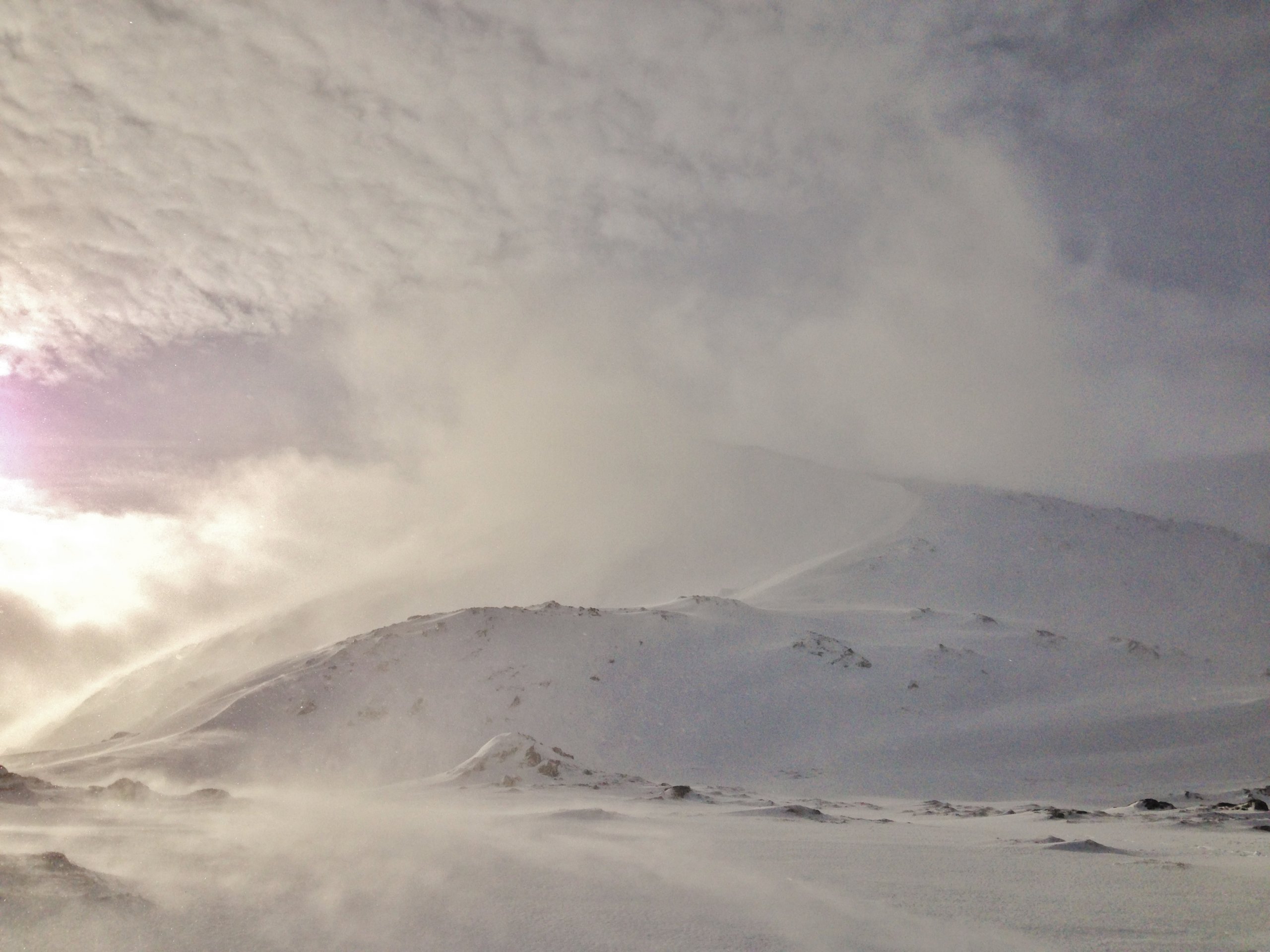
Thickening cloud, strengthening winds, rising temperatures and rain arrived in the Fannaichs early afternoon. There will be a period of snowpack instability as the rain reaches summit levels.
Comments on this post
Got something to say? Leave a comment


